cewillis
Jul 06, 2015Explorer
Another White RimTrail TR
I drove and camped on the WRT in mid-June. I chose that time to have dry weather, and a small crowd -- got both. It was ~ 10 degrees hotter than the advertised average high of 93, and didn't cool to 80 until ~10pm. Didn't bother me.
The WRT is often described as 'moderately difficult in good weather'. I'd say it's primarily just a slow drive; e.g., 35 miles in 9 hours. Many sections are rough, or steep, or narrow, or deep sand, or badly rutted, or have sharp turns, or some combination - but it is not really very difficult with respect to any of those conditions (could be much worse in wet conditions).
For anyone interested in my equipment setup, it's here.
Here's a great map of Canyonlands and the surrounding area.
My amateur panorama from the Grand View Point Overlook (way above the WRT) is here. (too big too post here)
I'm posting a good sample of pictures here, and may add more. For anyone interested, my web site has more info and ~150 larger pictures.
I stopped overnight going north at the Goosenecks of the San Jaun. (thanks, Dave)


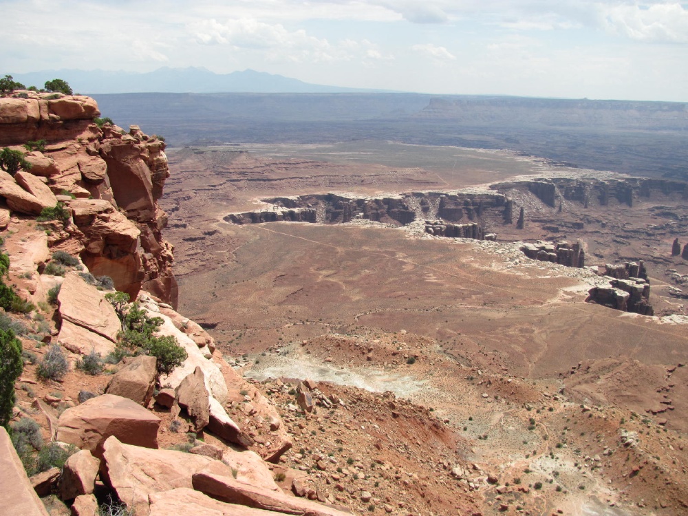
The WRT from the Grand View Point Overlook.
Starting down the Shafer Trail to the WRT.


At the bottom

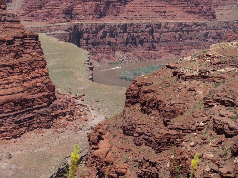
The Colorado River

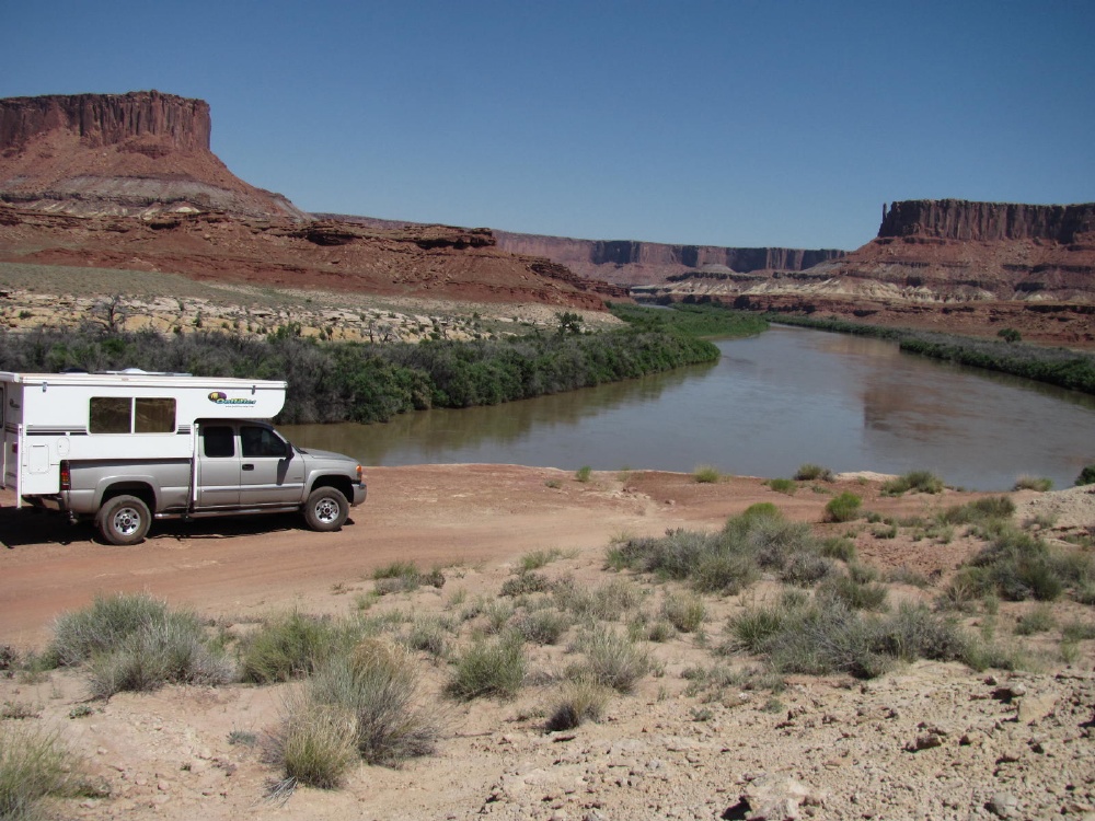
Airport Tower -- 1st campsite


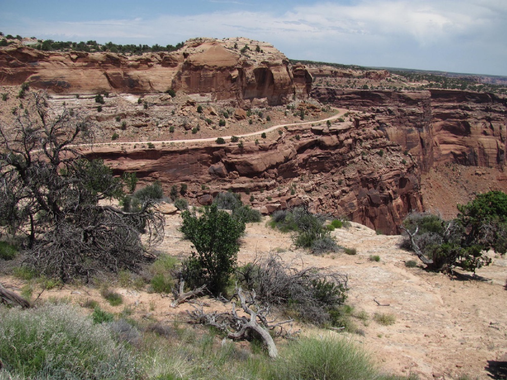
A section of 'paved' road.
And not paved


Napoleon addressing his troops

Approaching the (in)famous 'Murphy's Hogback'

That must be it

Looks like an ordinary little hill to me


And down the other side

'The' overhang? An overhang. More than 2 feet clearance.


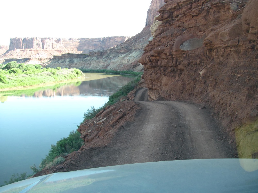
Good look at the Green River.

Which also has a gooseneck


This is about as rough as the road got -- so not very, if slow.


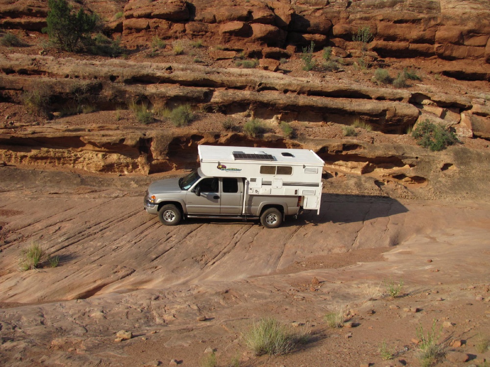
A Ford 3500 dually flatbed pumper. This is between Murphy hill and Hardscrabble hill. So how bad can the road be?.

On Hardscrabble Hill

Near the top

Here's what it looks like. One turn was too tight for me. There are wide turn areas at three corners.

Pretty nice views around here

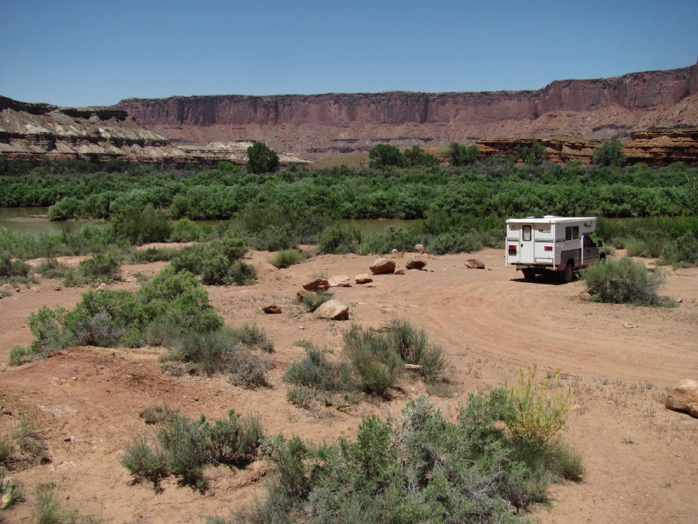
Hardscrabble B camp area - quite nice.
This is a big river. Lots of splashes out there, too.

Finally found the nearly hidden river access - would be better without so much Coyote Willow and Tamerisk.

The bank is steep and slippery, and the mud is very soft -- sink right in.

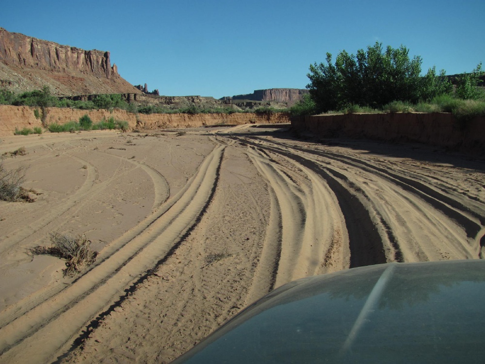
A little sand --
Labyrinth camp area -- near the Mineral Bottom exit. Also nice.


Wanna wind up in the Green River? Don't pay attention through here.
OK -- but a dually flatbed can make it.

Now come on! The road is rougher than that. Near the Mineral Bottom boat ramp turn. There were dozens of kids over there - about to start or just ended a canoe trip.

Mineral Bottom switchbacks. Had to back up here to let a van and canoe trailer by. Then wait as at least a dozen Suburbans and a few trucks pulling empty canoe trailers went by. See the bus?

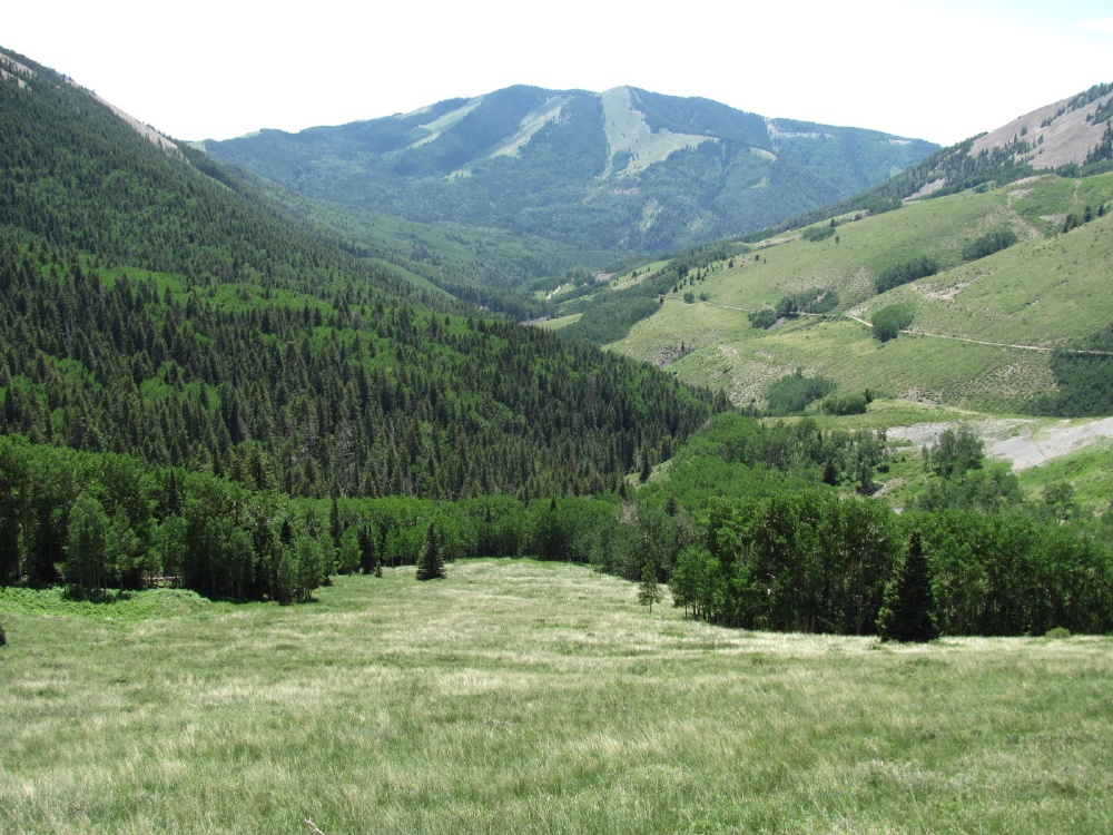
That afternoon, 10000+ feet in the Manti-La Sal NF. Temp: 75 at 4:30. 25+ degrees lower than on the WRT.
Think I'll stay here.

Stopped at Muley Point on the way home.

Panorama from Muley Point.
The WRT is often described as 'moderately difficult in good weather'. I'd say it's primarily just a slow drive; e.g., 35 miles in 9 hours. Many sections are rough, or steep, or narrow, or deep sand, or badly rutted, or have sharp turns, or some combination - but it is not really very difficult with respect to any of those conditions (could be much worse in wet conditions).
For anyone interested in my equipment setup, it's here.
Here's a great map of Canyonlands and the surrounding area.
My amateur panorama from the Grand View Point Overlook (way above the WRT) is here. (too big too post here)
I'm posting a good sample of pictures here, and may add more. For anyone interested, my web site has more info and ~150 larger pictures.
I stopped overnight going north at the Goosenecks of the San Jaun. (thanks, Dave)
The WRT from the Grand View Point Overlook.
Starting down the Shafer Trail to the WRT.
At the bottom
The Colorado River
Airport Tower -- 1st campsite
A section of 'paved' road.
And not paved
Napoleon addressing his troops
Approaching the (in)famous 'Murphy's Hogback'
That must be it
Looks like an ordinary little hill to me
And down the other side
'The' overhang? An overhang. More than 2 feet clearance.
Good look at the Green River.
Which also has a gooseneck
This is about as rough as the road got -- so not very, if slow.
A Ford 3500 dually flatbed pumper. This is between Murphy hill and Hardscrabble hill. So how bad can the road be?.
On Hardscrabble Hill
Near the top
Here's what it looks like. One turn was too tight for me. There are wide turn areas at three corners.
Pretty nice views around here
Hardscrabble B camp area - quite nice.
This is a big river. Lots of splashes out there, too.
Finally found the nearly hidden river access - would be better without so much Coyote Willow and Tamerisk.
The bank is steep and slippery, and the mud is very soft -- sink right in.
A little sand --
Labyrinth camp area -- near the Mineral Bottom exit. Also nice.
Wanna wind up in the Green River? Don't pay attention through here.
OK -- but a dually flatbed can make it.
Now come on! The road is rougher than that. Near the Mineral Bottom boat ramp turn. There were dozens of kids over there - about to start or just ended a canoe trip.
Mineral Bottom switchbacks. Had to back up here to let a van and canoe trailer by. Then wait as at least a dozen Suburbans and a few trucks pulling empty canoe trailers went by. See the bus?
That afternoon, 10000+ feet in the Manti-La Sal NF. Temp: 75 at 4:30. 25+ degrees lower than on the WRT.
Think I'll stay here.
Stopped at Muley Point on the way home.
Panorama from Muley Point.