cewillis
Jun 15, 2016Explorer
TR: east Arizona mountains, valleys, rivers, etc ---
I scouted around the Apache NF in east Arizona for back/bad roads, mountain peaks, valleys, and several of the rivers that originate and/or flow through the area.
A more extensive report, with more and larger pictures is on my web site at http://www.ctwillis.com/CamperTrips/E%20Az/index.html . I appreciate the people who take the time to put extensive TR's here, but it's really quit tedious. And since there is a recommended max width, why isn't that set as default???
Here's the general area:

River flows are as follows:
Little Colorado -> Colorado
Black + White form the Salt
Blue -> San Francisco -> Gila
Anything left of the Salt -> Gila (west of Phoenix)
Gila -> Colorado (at Yuma)
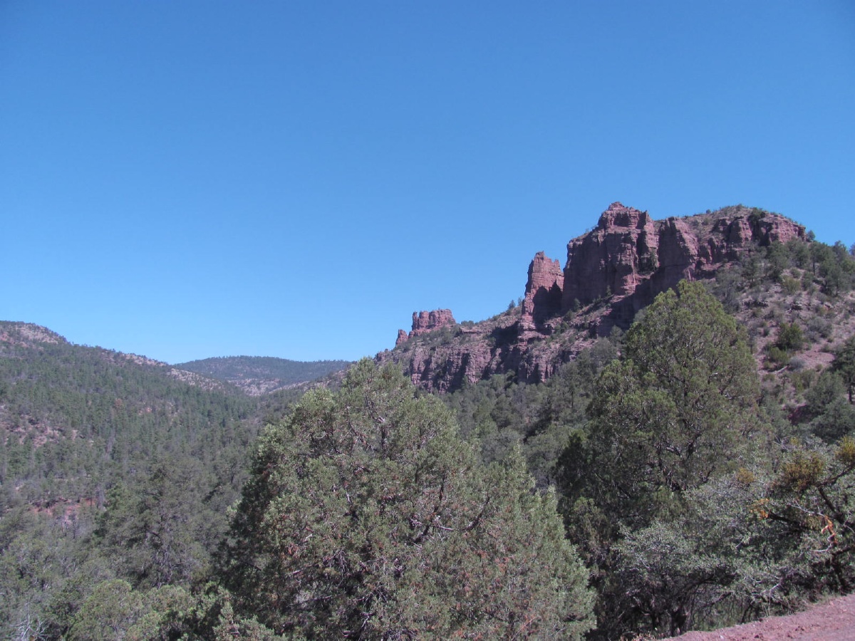
Hurricane Pass West, Mt Graham, ~8600 ft.

Near the fire lookout tower

Next stop was the Gila River, in about the middle of the Gila Box Riparian area.

This was via an ominous sounding 'road' off of the Black Hills Back Country Byway -- which is a nice easy drive for a passenger car when dry.

The reason it's called Deadman Canyon, no doubt --
I made it to the river, but not before clearing some overhanging limbs with a portable sawzall, and not without some leg damage from fighting through the **** Tamarisk. (details on web site)

It's a nice looking area, but not my best move. 111 when I got there at 1:30, going up, and alive with bugs. Finally down to 80 inside by 11:00 pm. Plus mayor battles with Tamarisk to get to the river.

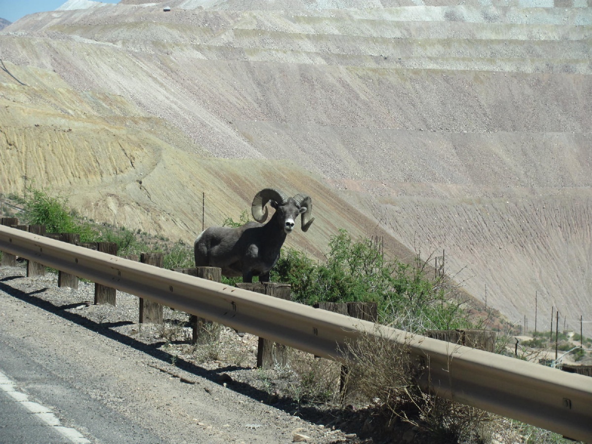
A lost critter, between Rt 191 and the Morenci mine, on my way to higher ground.
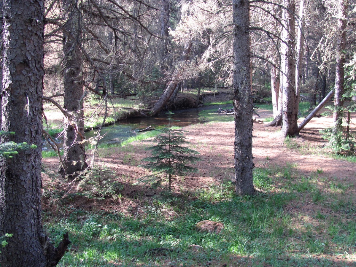
Amidst the Ponderosa - near the Black River. 30+ degrees cooler than yesterday.

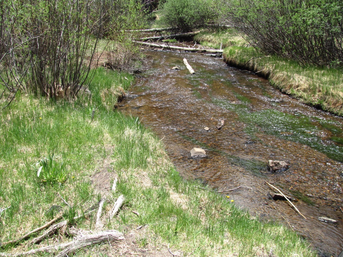
The Black River. I know -- having grown up near the Missouri River, this is a stream to many.

West Fork, Little Colorado River -- near Mt Baldy.
Far as I can tell, this the highest point (just under 10000ft) on any part of the LCR that is accessible by any trail. So I call this the origin of the LCR.

My favorite kind of trail (not really)-- gets harder the farther one goes. From here it gets steeper, rockier, incredible amount of deadfall, and thousands of sharp snags trying to punch a hole in a leg with every step. Another couple of miles, and I gave up.

First look at the Blue River. This is really pretty meager, even for a 'stream'.

Nice place to camp, though.

Flood stage on the Blue River --
Couple of hazy pictures of the Blue Wilderness.


Near the Blue River again, farther south and much lower elevation.

A little 'wetter'

The San Francisco River north of Clifton.


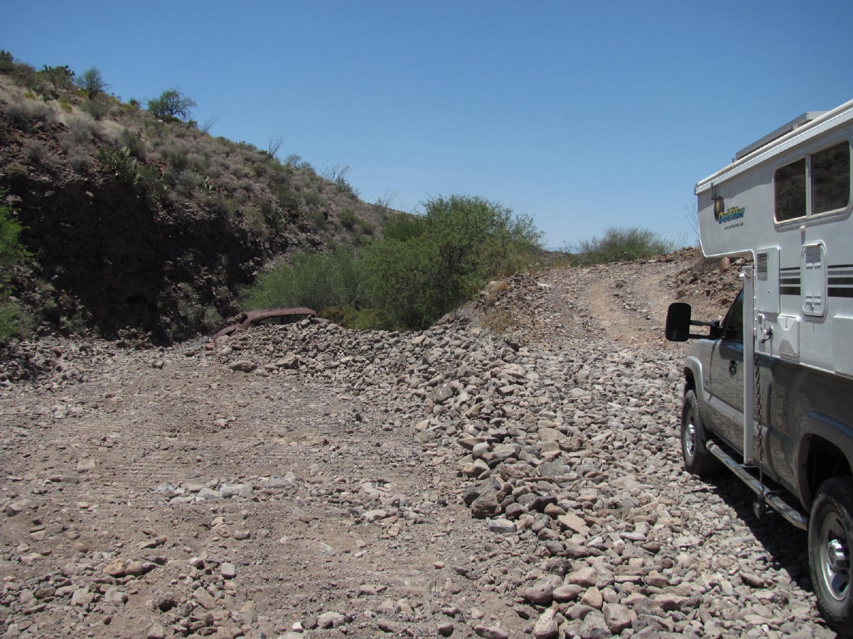
And back to the Gila River, at the west end of the Gila Box -- after some of the worst 'road' I've ever driven.


And finally, from the other side of the river, by the 'preferred' (eg, paved road) approach.

Thanks for looking. I hope you enjoyed it.
A more extensive report, with more and larger pictures is on my web site at http://www.ctwillis.com/CamperTrips/E%20Az/index.html . I appreciate the people who take the time to put extensive TR's here, but it's really quit tedious. And since there is a recommended max width, why isn't that set as default???
Here's the general area:
River flows are as follows:
Little Colorado -> Colorado
Black + White form the Salt
Blue -> San Francisco -> Gila
Anything left of the Salt -> Gila (west of Phoenix)
Gila -> Colorado (at Yuma)
Hurricane Pass West, Mt Graham, ~8600 ft.
Near the fire lookout tower
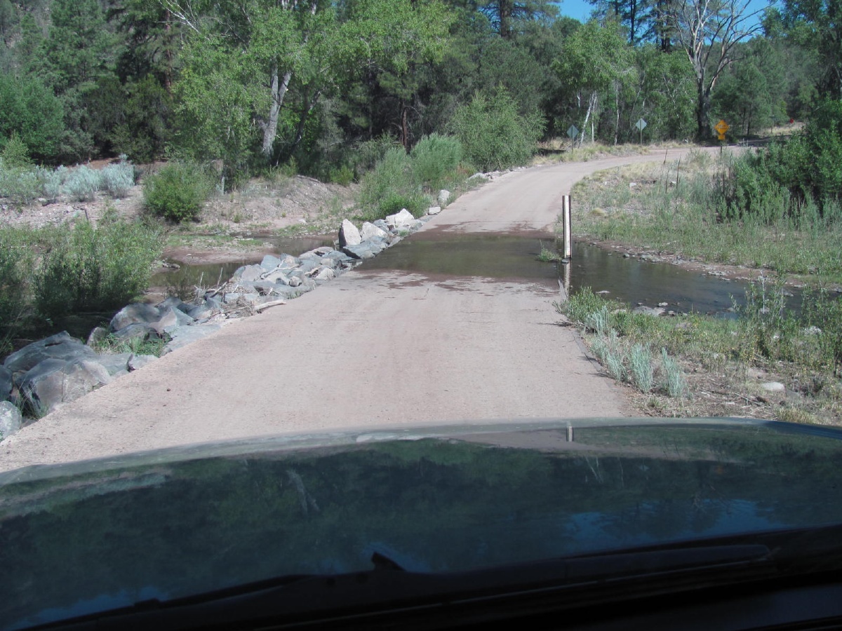
Next stop was the Gila River, in about the middle of the Gila Box Riparian area.
This was via an ominous sounding 'road' off of the Black Hills Back Country Byway -- which is a nice easy drive for a passenger car when dry.
The reason it's called Deadman Canyon, no doubt --
I made it to the river, but not before clearing some overhanging limbs with a portable sawzall, and not without some leg damage from fighting through the **** Tamarisk. (details on web site)
It's a nice looking area, but not my best move. 111 when I got there at 1:30, going up, and alive with bugs. Finally down to 80 inside by 11:00 pm. Plus mayor battles with Tamarisk to get to the river.
A lost critter, between Rt 191 and the Morenci mine, on my way to higher ground.
Amidst the Ponderosa - near the Black River. 30+ degrees cooler than yesterday.
The Black River. I know -- having grown up near the Missouri River, this is a stream to many.
West Fork, Little Colorado River -- near Mt Baldy.
Far as I can tell, this the highest point (just under 10000ft) on any part of the LCR that is accessible by any trail. So I call this the origin of the LCR.
My favorite kind of trail (not really)-- gets harder the farther one goes. From here it gets steeper, rockier, incredible amount of deadfall, and thousands of sharp snags trying to punch a hole in a leg with every step. Another couple of miles, and I gave up.
First look at the Blue River. This is really pretty meager, even for a 'stream'.
Nice place to camp, though.
Flood stage on the Blue River --
Couple of hazy pictures of the Blue Wilderness.
Near the Blue River again, farther south and much lower elevation.
A little 'wetter'
The San Francisco River north of Clifton.
And back to the Gila River, at the west end of the Gila Box -- after some of the worst 'road' I've ever driven.
And finally, from the other side of the river, by the 'preferred' (eg, paved road) approach.
Thanks for looking. I hope you enjoyed it.