Forum Discussion
6 Replies
 profdant139Explorer IIIWhen you get to the McKenzie Bridge area, spend some time there -- great area. Paradise Campground was aptly named:
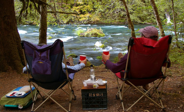
And there is a great mtn bike trail along the river -- it goes all the way to the falls: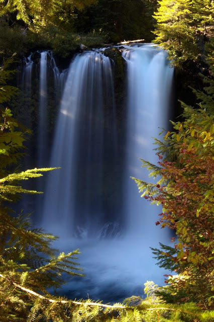
 Wolfman_JacquesExplorerThanks all.
 SteveAEExplorerMy curiosity got the better of me.
According to Google Maps, the route out of Westfir is 51.5 miles and would take 2 hours 37 minutes (I bet longer with a trailer).
Backtracking down to hwy 222, it is 78.2 miles and 1 hour 33 minutes to McKenzie Bridge.
Steve- SteveAEExplorerI tend to agree with Paul,
It's a nice (but slow) drive in a car or truck, but I am not sure if I would go that way with my travel trailer or not. I guess if I was not in a hurry, and wanted to camp along the way, I might consider it. Otherwise, I would just head west to hwy 222 in the valley and cut north that way.
The road is one lane in places and isn't very fast. But since it was built for logging trucks, there is "enough" room. It is paved most of the way. I believe there is a bit of a climb out of the N. Fk. Middle Fk Willamette River canyon. There are some nice camping spots at the upper (southern) end of Cougar Res. and also not too far out of Westfir (along the river).
Have fun,
Steve  pauljExplorer III've driven it - in a car. It is a paved Forest Service Hwy (#19), also known as the south portion of West Cascades Scenic Byway
http://www.tripcheck.com/Pages/SBwestCascade.asp
It's a nice drive, but it does not save much distance, and certainly not time.
If you continue west, you don't have to go all the way to I5. OR 222 stays on the east side of Eugene.
A motorcyclist's description of FS19 gotsmartExplorer10-to-1 says you're looking at a State Forest road or National Forest road. If you're looking at the road online, keep on zooming in on it until a road name appears.
About Bucket List Trips
13,488 PostsLatest Activity: Jan 17, 2025