CA Traveler wrote:
Klondike Loop Question: This loop gets lots of press and we're considering driving it. But from Milepost it includes 112 miles of gravel roads from Dawson City to Chicken. What are the pros and cons of taking this route? Apparently bragging rights is one pro.
Some images of the Top of the World Highway are on my website
http://suethomas.ca/TopOfTheWorld.htmlImages of the Taylor Highway here
http://suethomas.ca/TaylorHwy.htmlThe scenery, on a clear day, is spectacular. Even better in September with the fall colours. We often see moose along the route too. If you enjoy drycamping/boondocking, the possibilities are endless.
If the weather has been, or is, wet the route can be miserable. The road surface can be a bit slick, not so much on the Yukon side but on the newly refurbished gravel portion of the Alaska side.
We usually take 2-3 days to drive through, rather than being in a hurry. It isn't a route on which to make good time. Some places it is narrow, some spots are rough.
You also need to keep your eyes open for oncoming RVers who have heard the horror stories of soft road shoulders and who refuse to budge from the center of the road. An approaching Class A motorhome caused us to move over the road's edge & partially into the ditch, while towing our fifth wheel because he refused to budge off the middle of the road.
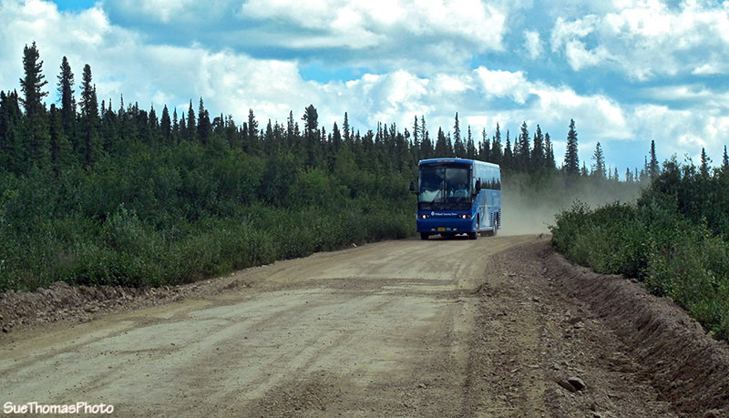
The tour buses on the route do move over and give room. This picture between the community of Boundary and the border in July 2011.