Markiemark32
May 26, 2015Explorer
Big South Fork - Bandy Creek Campground
Big South Fork ~ Bandy Creek Campground
A lesser known supported National Park, located in the Eastern/North corner of Tennessee and extends into Kentucky, about 1.5 hr drive North-west of Knoxville, TN.
Big South Fork
Natl Park Service
Campground we stayed out was Bandy Creek.
Nice wooded sites, water & electric hook-ups, nice bathrooms, kept up nicely by volunteers and park service.
Popular horse country.
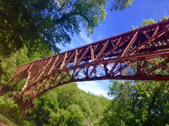
Some great hikes, river, Mtn Biking, river, A very unique area with some pretty amazing sites.
**Very outdoorsy, must travel back into to the woods to experience, but well worth it! **
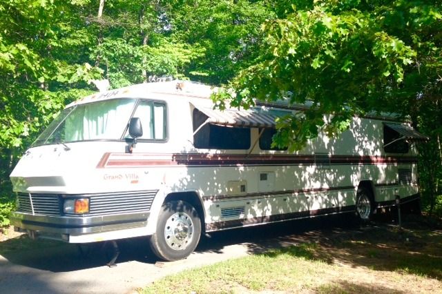
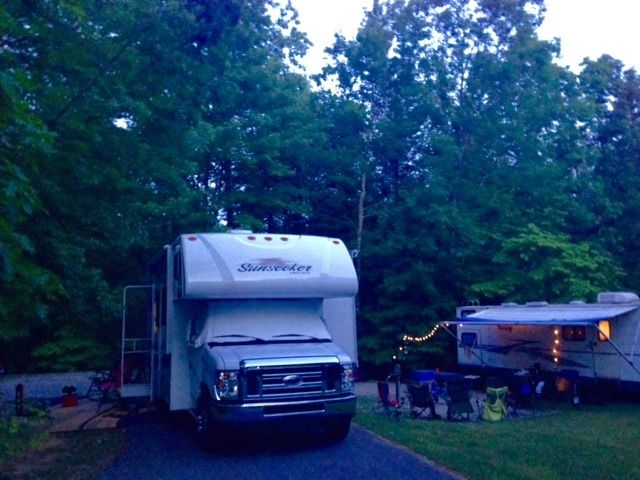
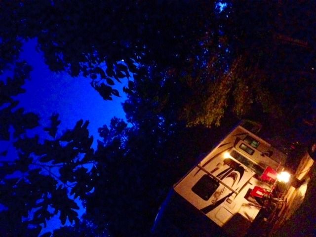
Campground sites this past weekend (and nice setups seen):

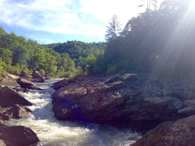
Angel Falls (4 mile moderate hike)
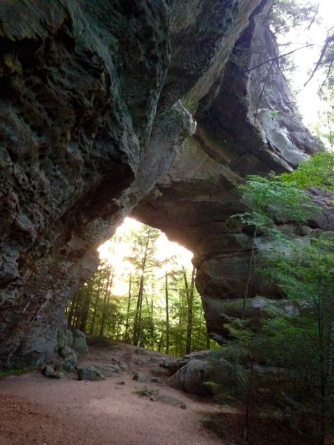
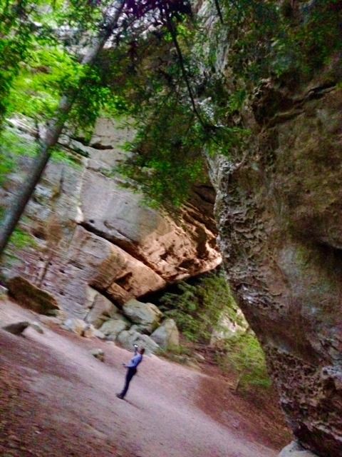
Twin Arches (From trail head 2 mile hike), located down 5 miles of forest road
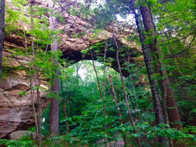
Climb on top of arch
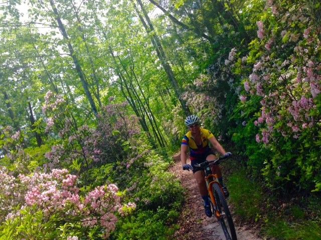
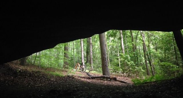
Mtn Bike trails out of Bandy Creek (Several loops, up to 30 miles of trail):
Lunch spot
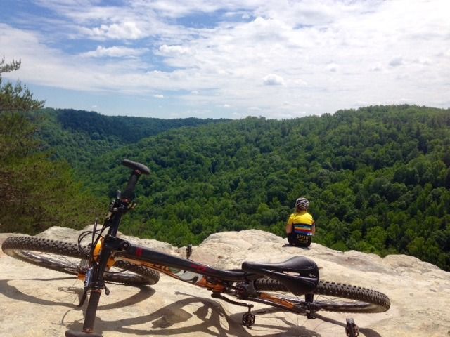
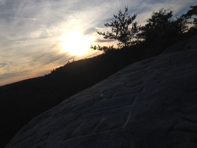
Views
Sweet trails (biking, hiking, horseback riding)
Lots of rock cropping's, caves, etc.....
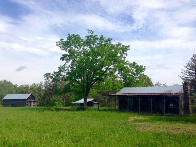
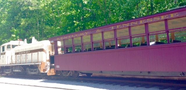
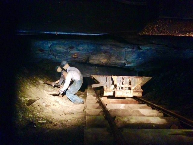
Ride a mining train to see some history of mining village, Blue Heron:
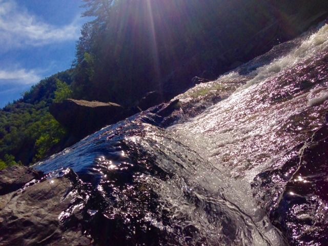
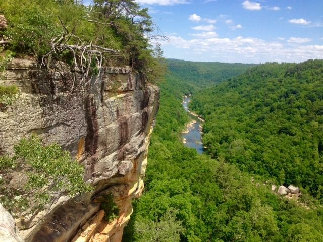
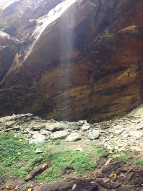
Yahoo Falls (2 mile hike from trailhead):
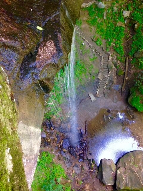
From above looking down, YES no safety barriers, BE CAREFUL!!!!:
Unique sites are spaced out and you have to get out and make day trips, but really cool & well worth it!
Get out and make lasting adventures!
Markiemark:C
A lesser known supported National Park, located in the Eastern/North corner of Tennessee and extends into Kentucky, about 1.5 hr drive North-west of Knoxville, TN.
Big South Fork
Natl Park Service
Campground we stayed out was Bandy Creek.
Nice wooded sites, water & electric hook-ups, nice bathrooms, kept up nicely by volunteers and park service.
Popular horse country.
Some great hikes, river, Mtn Biking, river, A very unique area with some pretty amazing sites.
**Very outdoorsy, must travel back into to the woods to experience, but well worth it! **
Campground sites this past weekend (and nice setups seen):
Angel Falls (4 mile moderate hike)
Twin Arches (From trail head 2 mile hike), located down 5 miles of forest road
Climb on top of arch
Mtn Bike trails out of Bandy Creek (Several loops, up to 30 miles of trail):
Lunch spot
Views
Sweet trails (biking, hiking, horseback riding)
Lots of rock cropping's, caves, etc.....
Ride a mining train to see some history of mining village, Blue Heron:
Yahoo Falls (2 mile hike from trailhead):
From above looking down, YES no safety barriers, BE CAREFUL!!!!:
Unique sites are spaced out and you have to get out and make day trips, but really cool & well worth it!
Get out and make lasting adventures!
Markiemark:C