Forum Discussion
SCVJeff
Jan 23, 2017Explorer
So here are some different views. We went up to Guadalupe peak on Monday to work on a UHF radio and I was hoping to get some good pix while there, but with all the wind and storms moving east over the last few days, the air was far from typical "Quartzsite clear". I also left the 35mm behind, so these pix are from an iPhone. Maybe get up there again when the air clears. The town is allot closer than it looks, but the iPhone lens really doesn't do distance well.
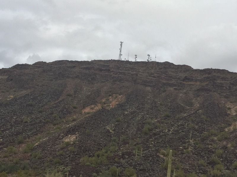
This is Guadalupe peak
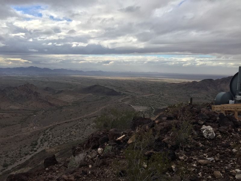
Quartzsite center screen

Quartzsite a little off to the left, and Plomosa BLM area is the thin line beyond the lighter desert area
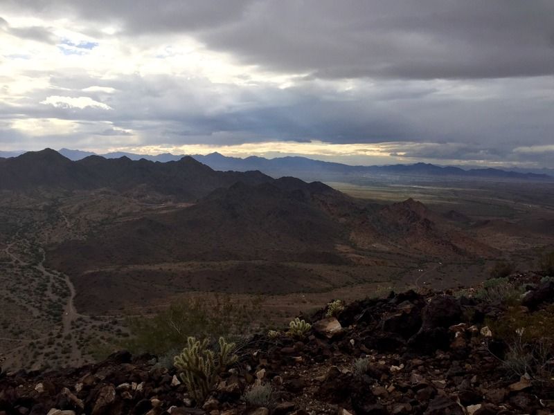
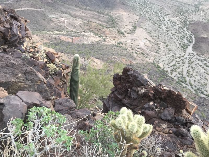
This is an isolated BLM area just under the mtn. Its a very different landscape than Quartzsite with Saguaro and other Cactus all over the valley. The hills are almost completely rock; vert little dirt off the floor of the valley
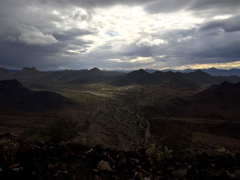
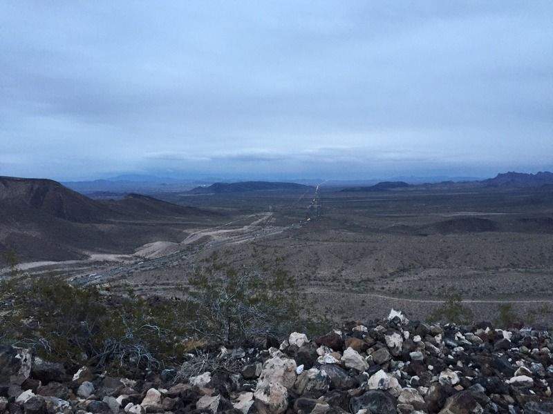
Looking East is the I-10 toward Phx, and Brenda, the white spot just under the distant hill
And its steep too. One of the guys is at the end of the rope working on an antenna :)
This is Guadalupe peak
Quartzsite center screen
Quartzsite a little off to the left, and Plomosa BLM area is the thin line beyond the lighter desert area
This is an isolated BLM area just under the mtn. Its a very different landscape than Quartzsite with Saguaro and other Cactus all over the valley. The hills are almost completely rock; vert little dirt off the floor of the valley
Looking East is the I-10 toward Phx, and Brenda, the white spot just under the distant hill
And its steep too. One of the guys is at the end of the rope working on an antenna :)
About Campground 101
Recommendations, reviews, and the inside scoop from fellow travelers.14,757 PostsLatest Activity: Jan 08, 2024