Forum Discussion
12 Replies
 Buzzcut1Nomad III drove 178 and 190 in December. A section of 178 beteen 190 and Ballarat was washboard gravel no biggie. As far as 190 and the hills went: my 6.7 Diesel made going up a breeze and the manual gear shift option made coming downhill just as easy. The roads I used to live on in the Santa Cruz Mountains made 190 seem like a flat super highway. If you regularly drive in the Sierras or other western US ranges you will not bink and eye driving on 190 but you will see some spectacular vistas.
 NVR2L82AV8ExplorerIt depends.
Here is a map of the inroads. Back Country Road Map
If you turn west from HWY 95 onto HWY 374 you can expect a pretty good climb/descent into the valley as you have to get over Daylight Pass at 4316'.
The northern East entrance from HWY 95 onto HWY 267 has been closed from last October's floods. I don't know its current status open or closed.
The route in from Shoshone on HWY 178 is not bad at all if its the elevation changes you're concerned with.
Hwy 190 has a pretty good little climb as you are rolling parallel to the east side of the Amargosa Range and down into the Valley.
See my trip report in 2014..lots of good stuff.
DV Trip Report dmaxpullerExplorerComing in from the west is steep, tight and curvy. But doable.
We did the trip last year. Did a blog write up, check it out if you wish.
And from what I hear, there are alot of roads that a now MIA.
Here is the blog
https://af996travels.wordpress.com/2015/04/05/death-valley-marchapril-2015/
and a link to Stovepipe Wells
http://www.deathvalleyhotels.com/our-hotel/rv-park-and-camping/
Have fun!!!!!!!!- horizon36Explorer
tuna fisher wrote:
Why is the road from Baker closed? How long?
Washed out in the October floods. Don't know when it will be repaired. Can't get to Scotty's castle either due to road wash out and mud flow into the castle. Road from Badwater south is also washed out.  tuna_fisherExplorerWhy is the road from Baker closed? How long?
 jefe_4x4ExplorerJohn, it depends on what kind of rig you have. I looked up your stats and could not tell if you even have a TC. If you do, and have 4WD, the route through Tehachapi is probably still the best coming from the south through Trona and the Panamint Valley. We live on the west slope/Sierra Nevada and drive through Reno and take 395 south, cutting over to enter DVNP from the north at Big Pine. Lots of washboard on the 50 miles of sandy roads, but little used without the terrible grades you encounter going over the Panamints: (endless miles of auto transmission withering; brake burning, 6-8% grades). There were some big washouts this fall in the park (I'm so sorry I missed that) so you need to visit their website to see what is open and what is not.
My fave website for the Desert Areas of the southwest is: DesertUSA. Up to date reports and pix will whet your appetite. I'm thinking this will be a great year for wild flowers in DV. DesertUSA will let you know. Since the server kept dropping this post, I went to DVUSA and the reports confirm the wildflower bloom is underway.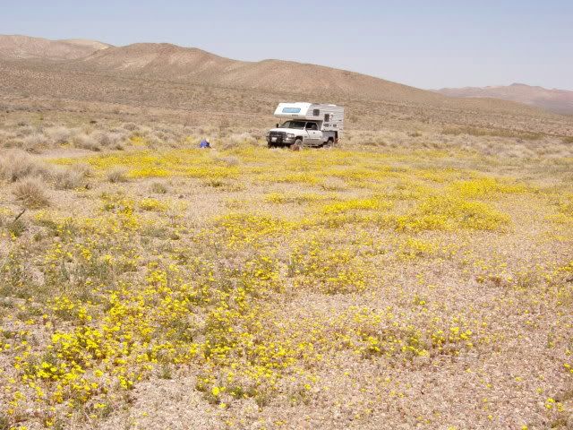
jefe- Buzzcut1Nomad IINothing beats coming along the East Slope of the snow capped 12-14000' Sierra peaks then turning east through the Panamints into Death Valley. Check out my TR from Xmas
part 1
http://www.rv.net/forum/index.cfm/fuseaction/thread/tid/28702526.cfm
part2
http://www.rv.net/forum/index.cfm/fuseaction/thread/tid/28702614.cfm - TrackrigExplorer IIIf you're going to go thru DV from one side to the other, the east side is basically flat. The West side is steep and curvy. So you have to choose to climb the mountains (going west) or go down the mountains and curves (going east).
So it depends on what and where you're going to and coming from. AND, how good of a braking system you have for going down hill vs. possibly having your vehicle overheat climbing the hills.
We came in from the east after leaving the NHRA drag race finals in Las Vegas last year. Our 40' DP pulling the Jeep climbed the hills just fine. The only dislike to it was some of the people coming down hill around the curves going too fast and partially over in our lane at times. There isn't any extra room to mess with.
Bill - horizon36ExplorerThe road from Baker into DV is closed. Furnace Creek or Stovepipe wells are good base camps. Over 1,000 miles of roads, mostly dirt, in the park that can be traveled by hi clearance SUV and many needing hi clearance 4WD.
- SamColExplorerComing from Monterey I take 46 out of Paso and 5 to Bakersfield then 58 over Tehachapi. Then 14 towards Bishop, Lone Pine. You can then take the cutoff off 14 to Ridgecrest and go up the Panamint Valley and come out by Panamint Springs. Sometimes I go to Lone Pine for a day or 2 and then to Panamint Springs. Hope this helps. When your on 14 and want to kill some time, stop and hike Red Rock Canyon Park.:)

About Travel Trailer Group
44,067 PostsLatest Activity: Jun 05, 2026