jefe_4x4
Nov 15, 2016Explorer
Roaming the Eastern Sierra Nevada Caldera
ROAMING THE EASTERN SIERRA NEVADA CALDERA
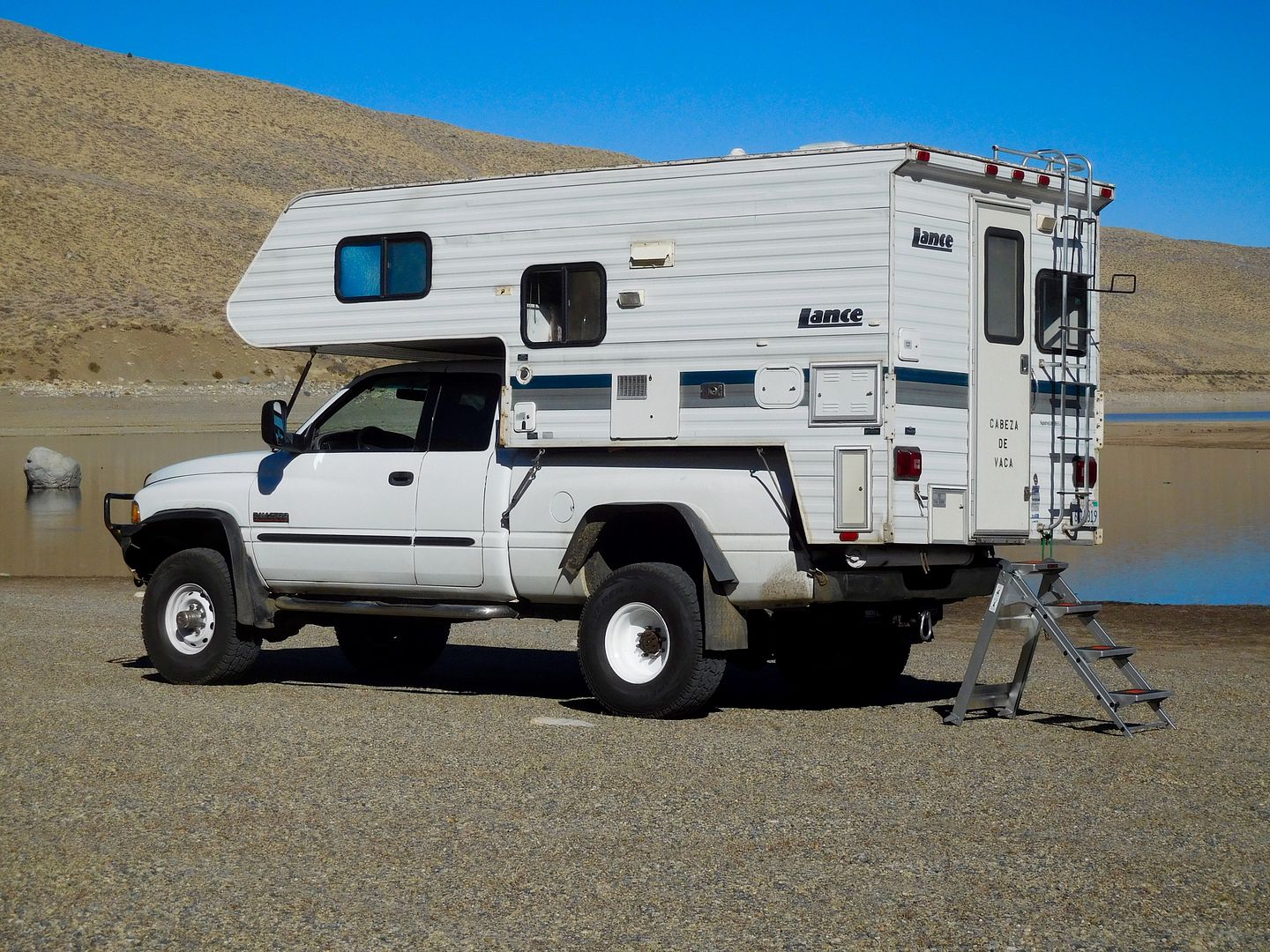
Over the years, Jeanie and I have tried to develop a theme or projets de voyages for our travels in our off-road truck camper, the XTC. On a successful Pacific Rim Volcano Road Trip four years ago, http://forums.woodalls.com/index.cfm/fuseaction/thread/tid/26445083.cfm we found we love to examine anything to do with one of natures most powerful spectacles. We visited volcanoes when sailing the Hawaiian Islands. We love the Yellowstone Caldera, especially since we have been there a couple times……before it blows!
As for a theme on the just completed trip, it can be summed up with this: sometimes things don’t work out as planned. Or, my orchestra violinist colleagues would say, "Just like bowing in Mozart: take it as it comes." Since completing a drivetrain upgrade to the old RAM I was anxious to find something steep, narrow, remote and sandy to try out all the new traction ghee-ghaws. The truth is, we had no itinerary, we just set out with 7 days worth of provisions. The original trip was postponed a week because of inclement weather and rescheduled during a time of high pressure. Why? Because we can. Then we talked about leaving on the Monday before the election, but that did’t seem like a good idea to be out of cell phone and cable TV range and have no election results. Then, because we can, we got an early check in into the PepperMill Casino in Reno for election eve figuring we’d get a snootful in the free room. The TC was parked in a large outdoor parking lot right under a streetlamp. I noticed a few security cameras around so tried to get into the viewing area.
We set out the next morning traveling south on Highway 395 toward our original goal, The Eureka Dunes, The Bristlecone Pine area and vicinity. We got waylaid by a pile of pumice.
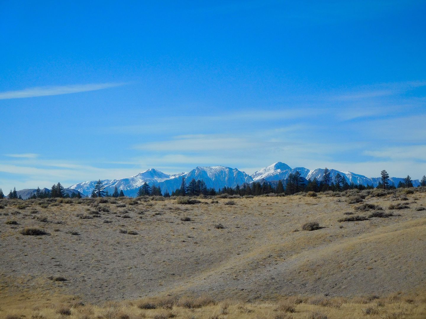
We turned right to ascend the paved Virginia Lakes road and turned right again to the gravel Dunderberg Road to the second spur dirt road and finally to a little plateau overlooking an unobstructed, 270 degree view of Nevada. At 8800 feet, the temperature dropped into the 20’s (F) by dawn. Earlier this year I re-insulated the Lance so the cold infiltration had diminished considerably. Here you can see a piece of Mono Lake and some mountains in Nevada:
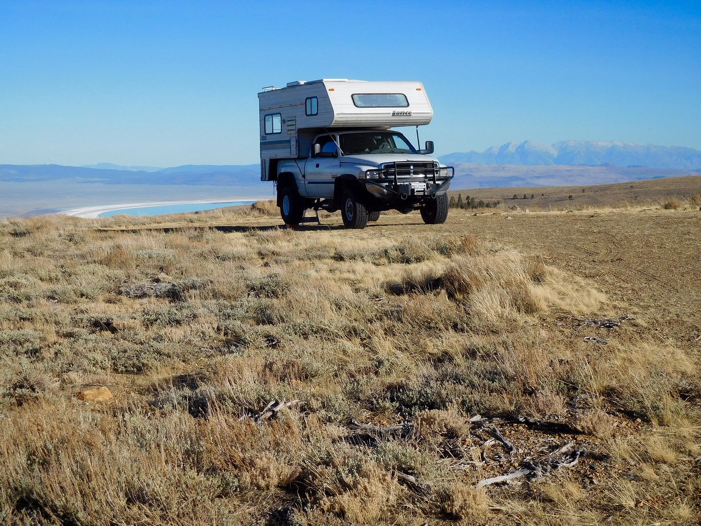
We’ve never used this particular stopover before, but the wide openness was breathtaking. Near the end of day:
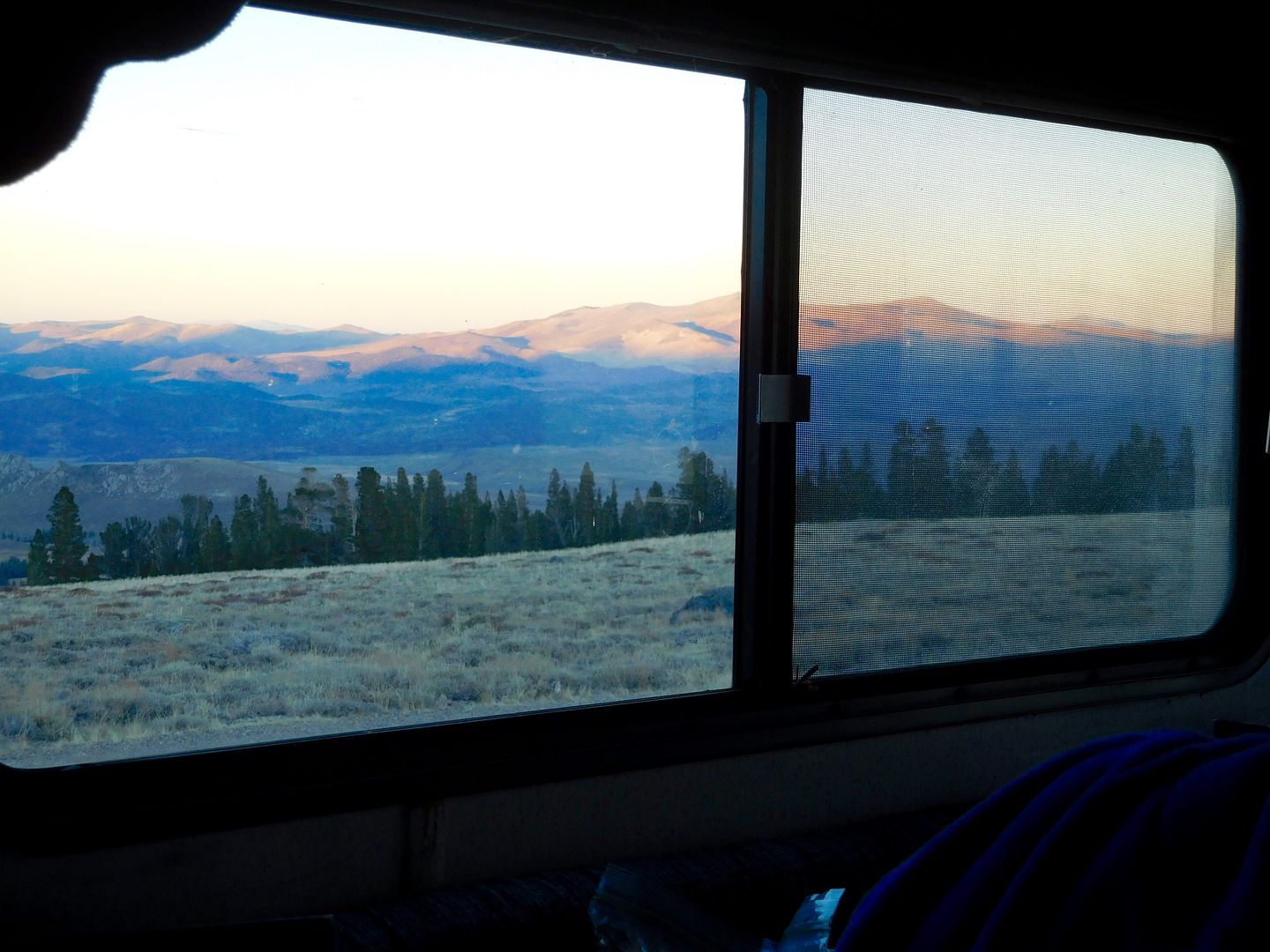
Looking out our back door toward Nevada at dusk:
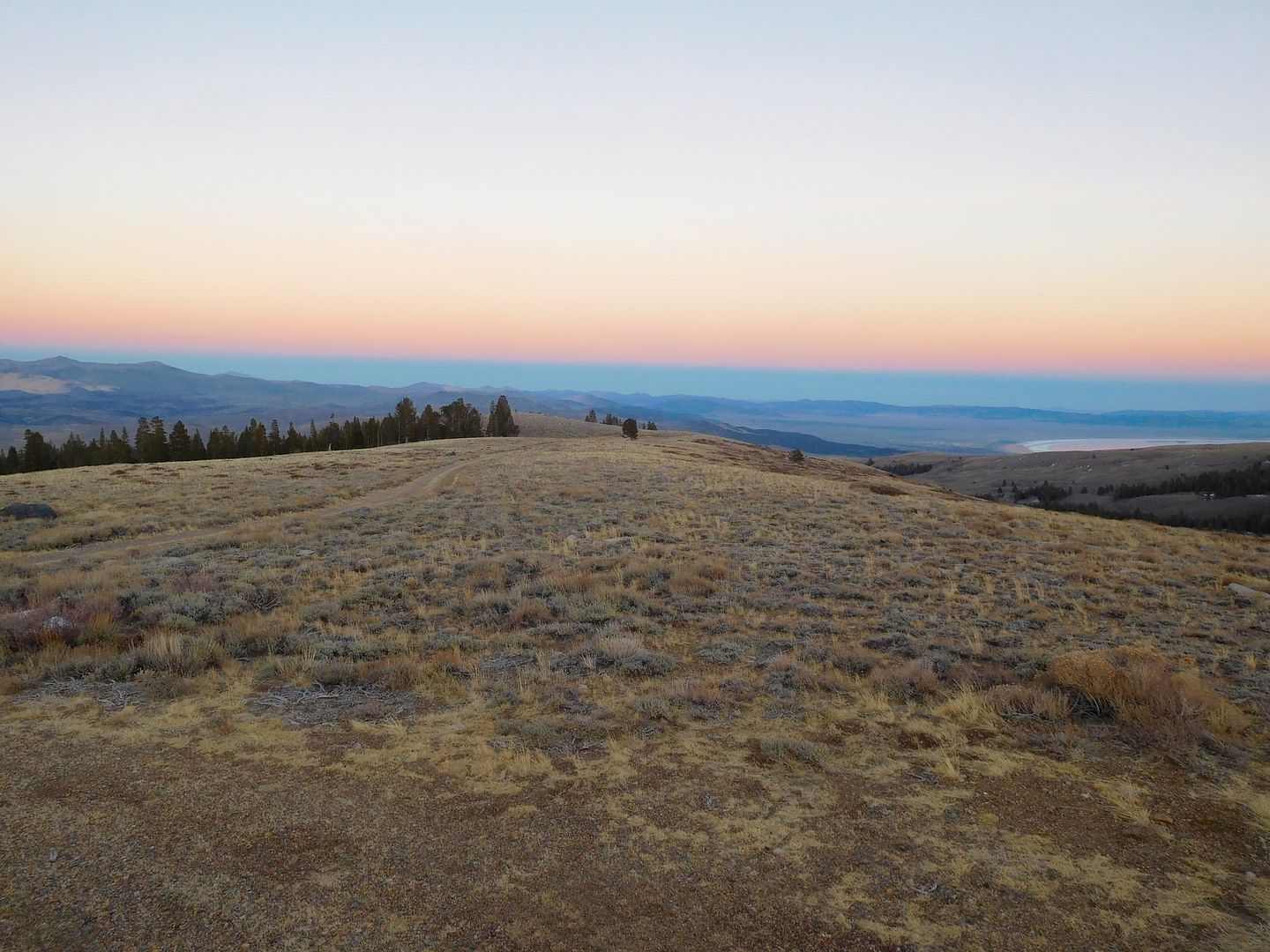
After some great carnitas tacos with cabbage and salsa we settled into our habit of playing Backgammon until we drop. We brought an extra down comforter along considering the low temps just before sunup and actually used it. I took a fellow forumer’s advice and did not light up the hot water heater unless we were taking a shower that day. We heated water on the range top in a 2 quart pan which was just enough to split between washing and rinsing in the plastic tub. There is a little technique involved. It was kind of like the 'dishes' version of the G.I. Shower. Well, except for the dishes part as there were no dishes to wash, only utensils. Paper plates. Whoda thunk water would be more valuable than paper anyway?
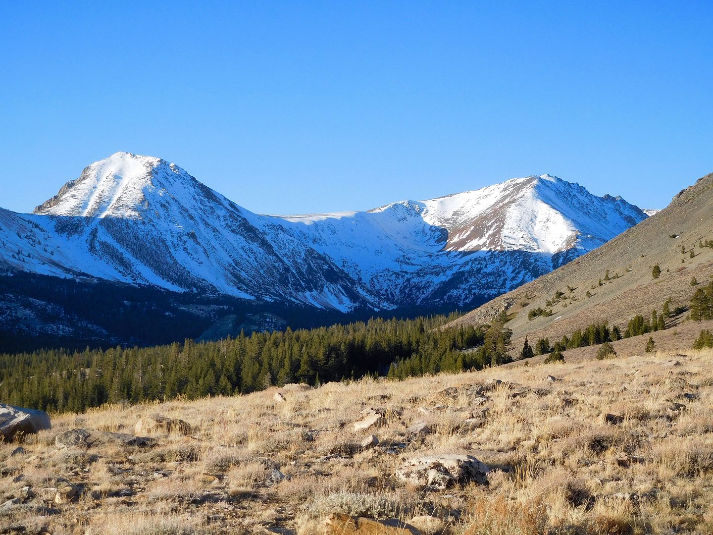
The morning brought new light to old vistas:
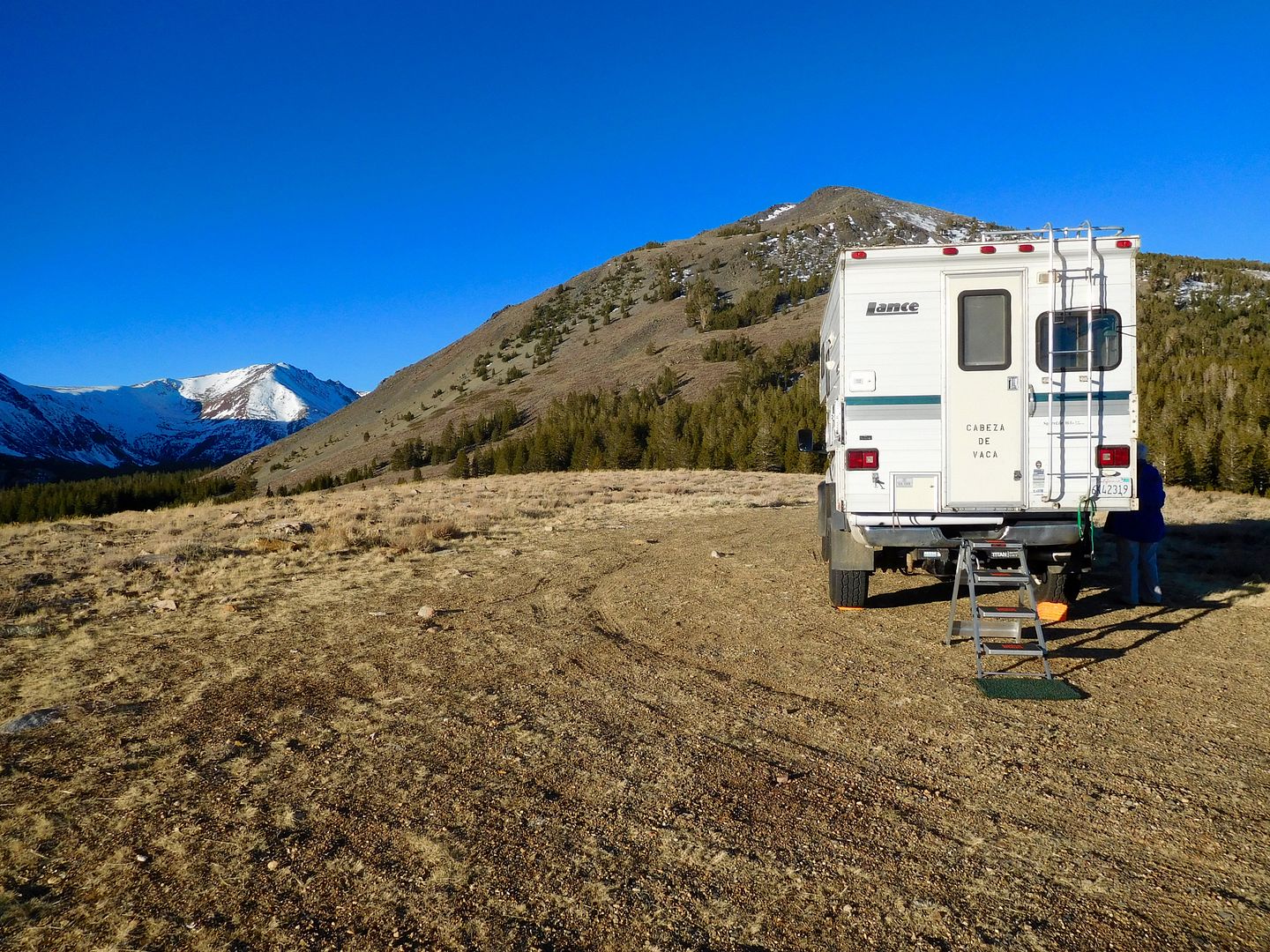
Our newest Little Giant ladder setup which is flexible as to how high the rear of the truck resides:
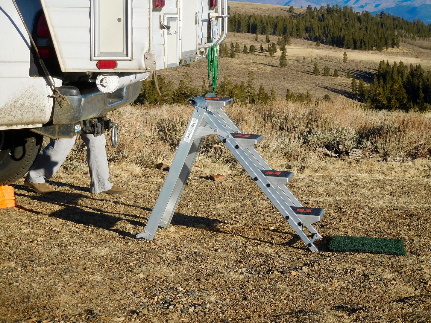
We had no cell service which worried Jeanie as she is in daily contact with her 100 year old mother living near us. Early in the a.m. we quickly 'folded our tent' and moved down the hill toward Conway Summit which had a gigantic cell phone tower and five dots on the signal strength in order to have breakfast and chat with Jeanie's mother. We hit a CalTrans road block right next to Mono Lake so i took a picture. It’s unusually clear as we were not moving, no traffic, and the window was rolled down.
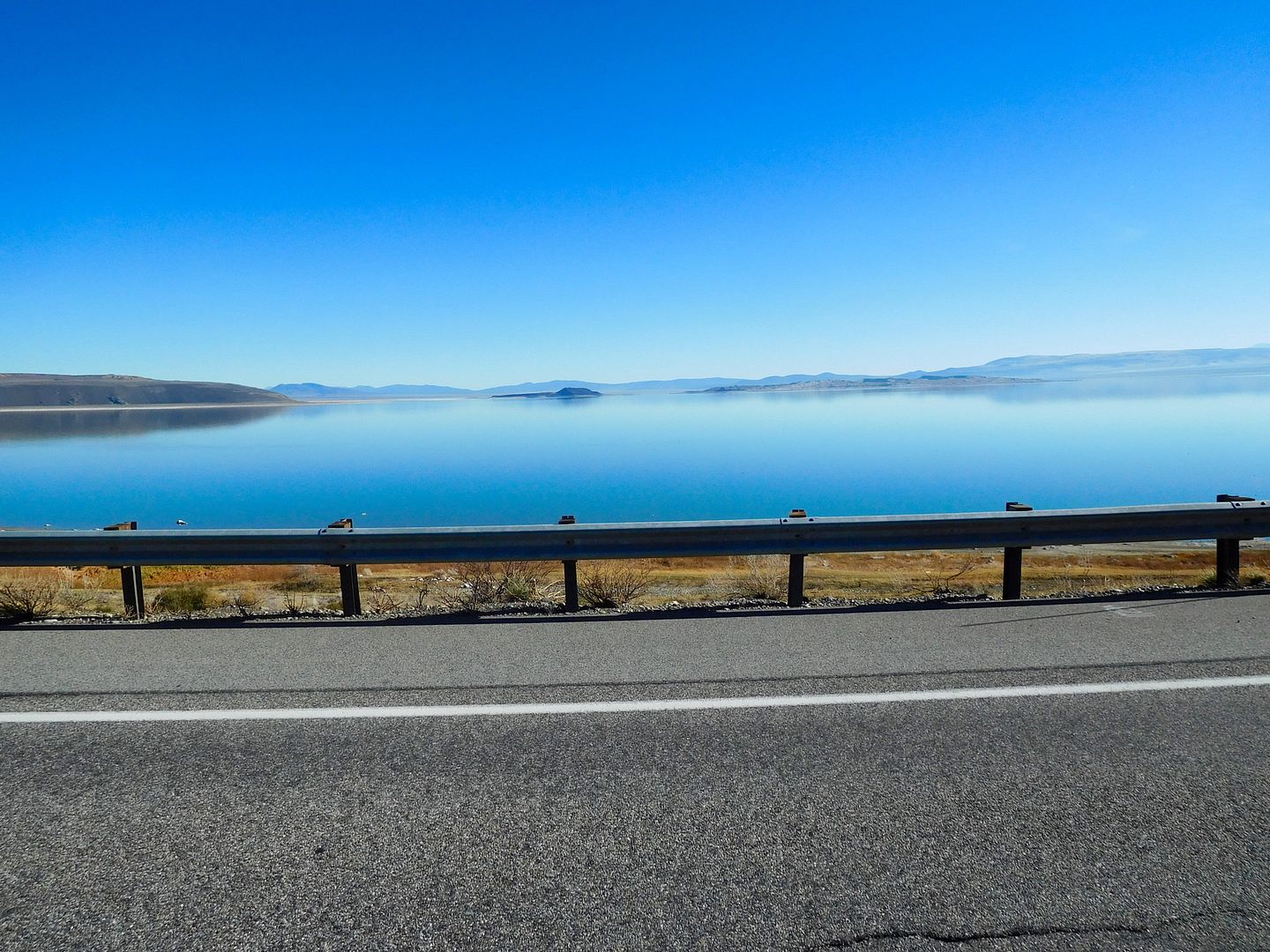
Down the road I wanted to observe how the non-grave digger tires would do in sand so we turned left into the largest stand of Jeffrey Pine in the world. Lots of sand and pumice. Pumice? Yes, the residual blow material from certain….volcanic activity. Hmm? We were close to the Mono Craters. Volcanic craters. We were in the bowels of the Mammoth Caldera. We roamed around on smooth sandy roads just enjoying being tourists and started to think about our layover place for the night.
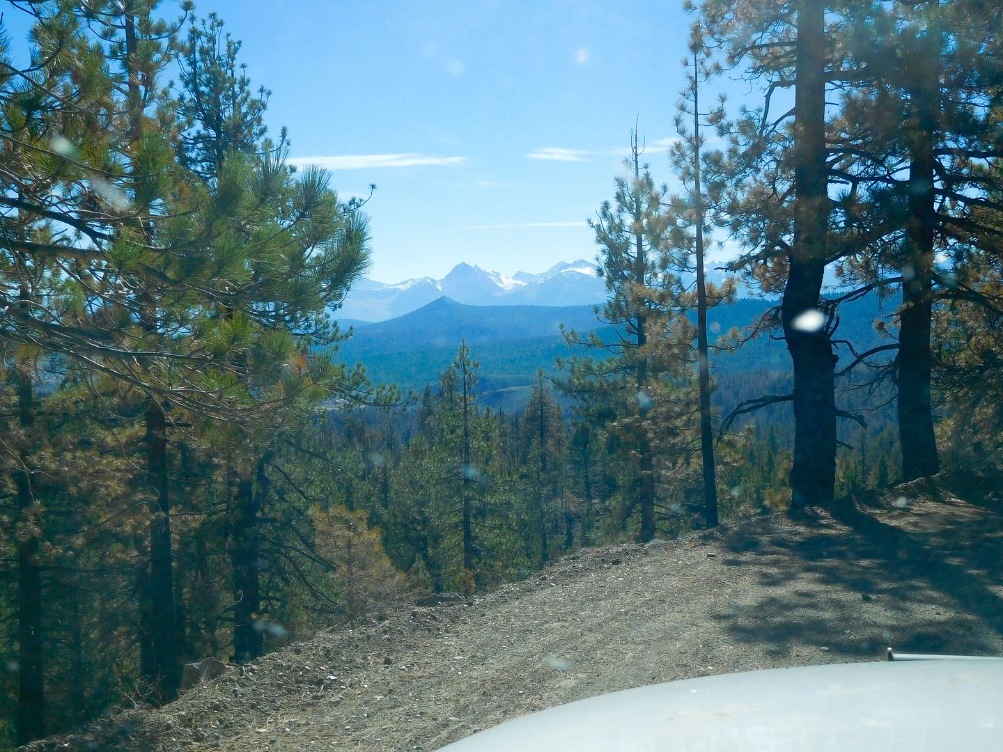
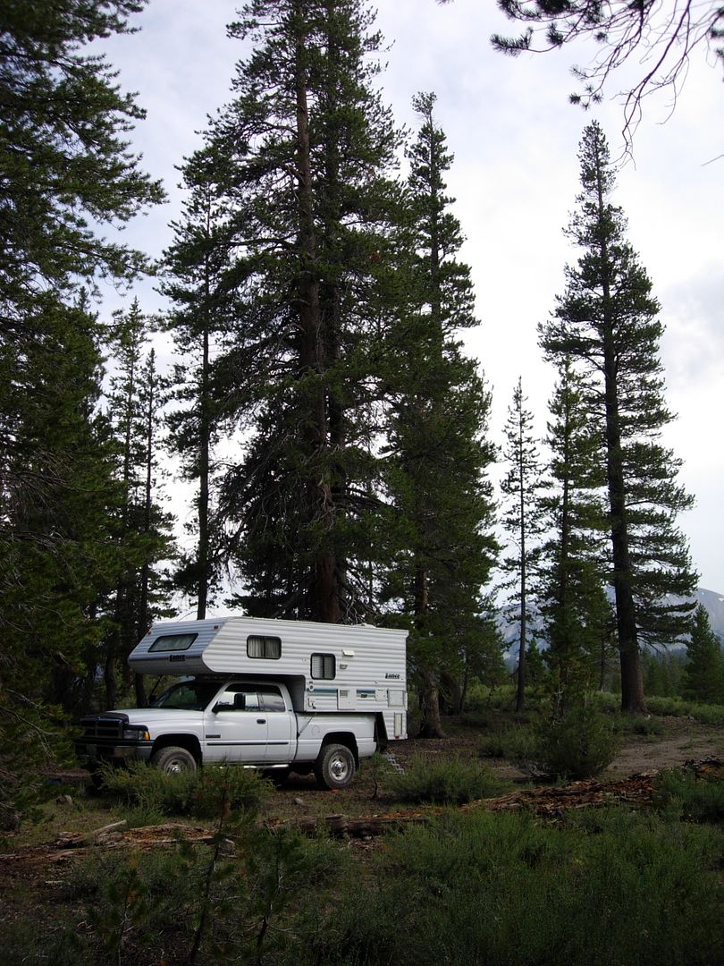
After resuming Highway 395 south we spotted a familiar cross road; Deadman Creek road. “Oh, we have to do that”, says Jeanie as we had been on a wonderful jeep trail right up against the ramparts of the Sierra Nevada some 12 years ago and agreed that it was one of our favorite spots to camp. Here’s the same spot those 12 years ago:
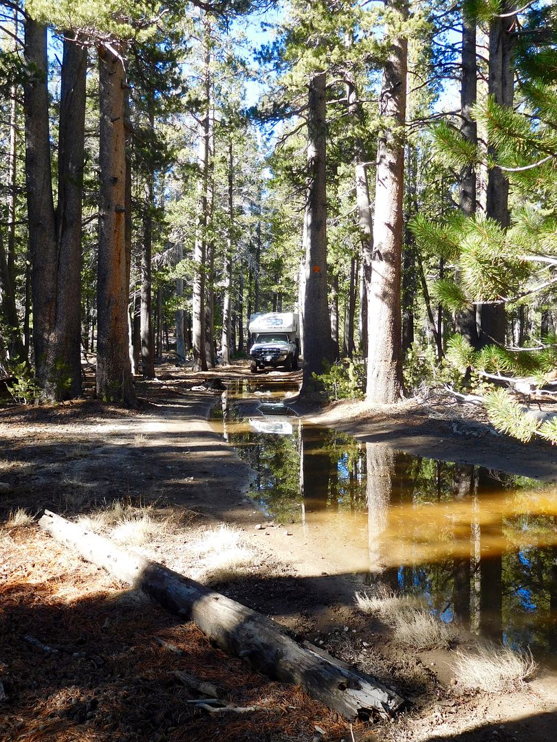
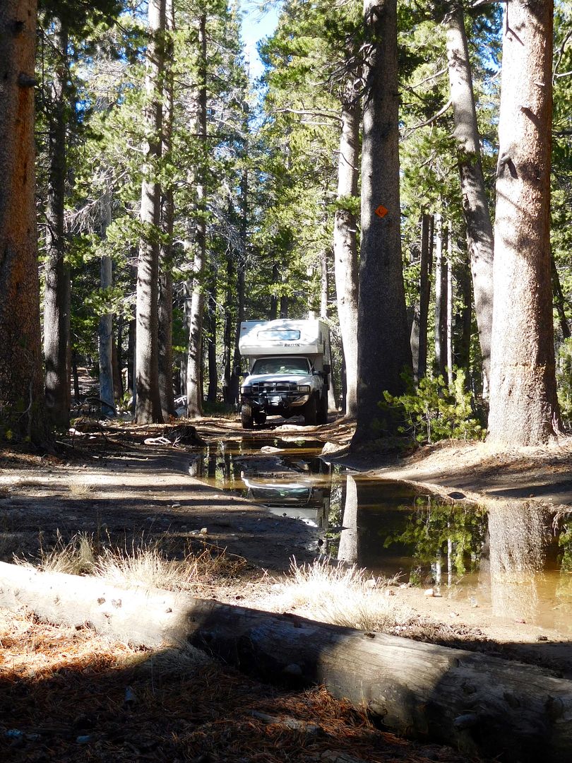
On the way in: on the narrowing jeep trail, I turned the on free wheeling hubs here:
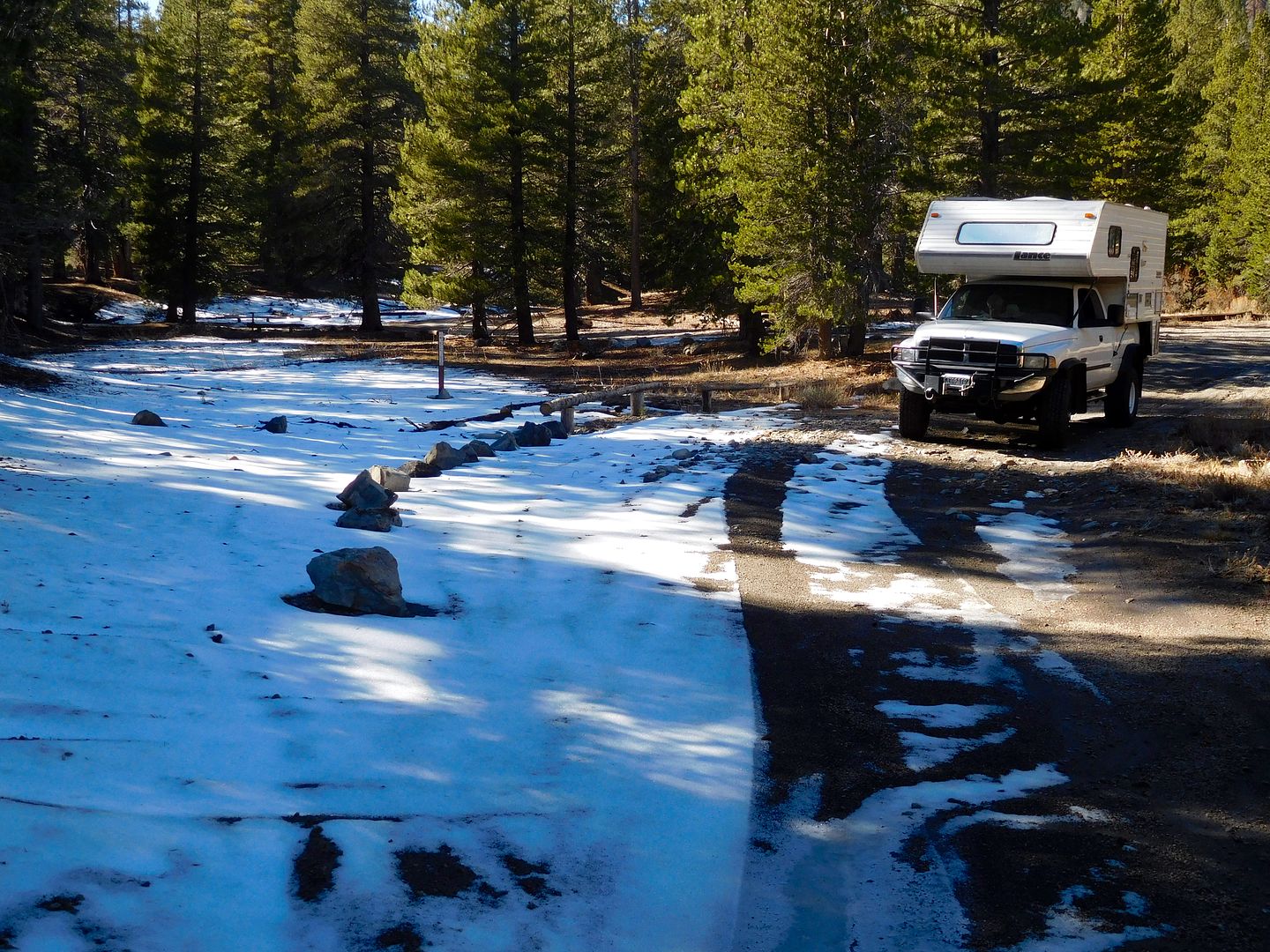
snow melt:
Here’s the spot:
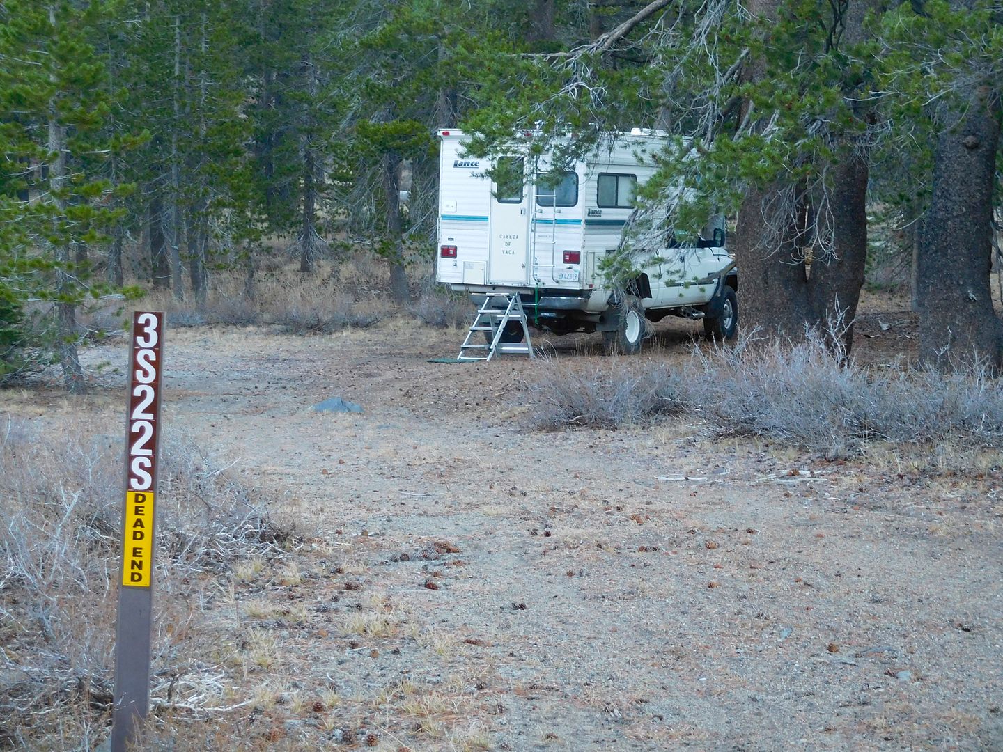
It doesn’t look like much except when you turn around:
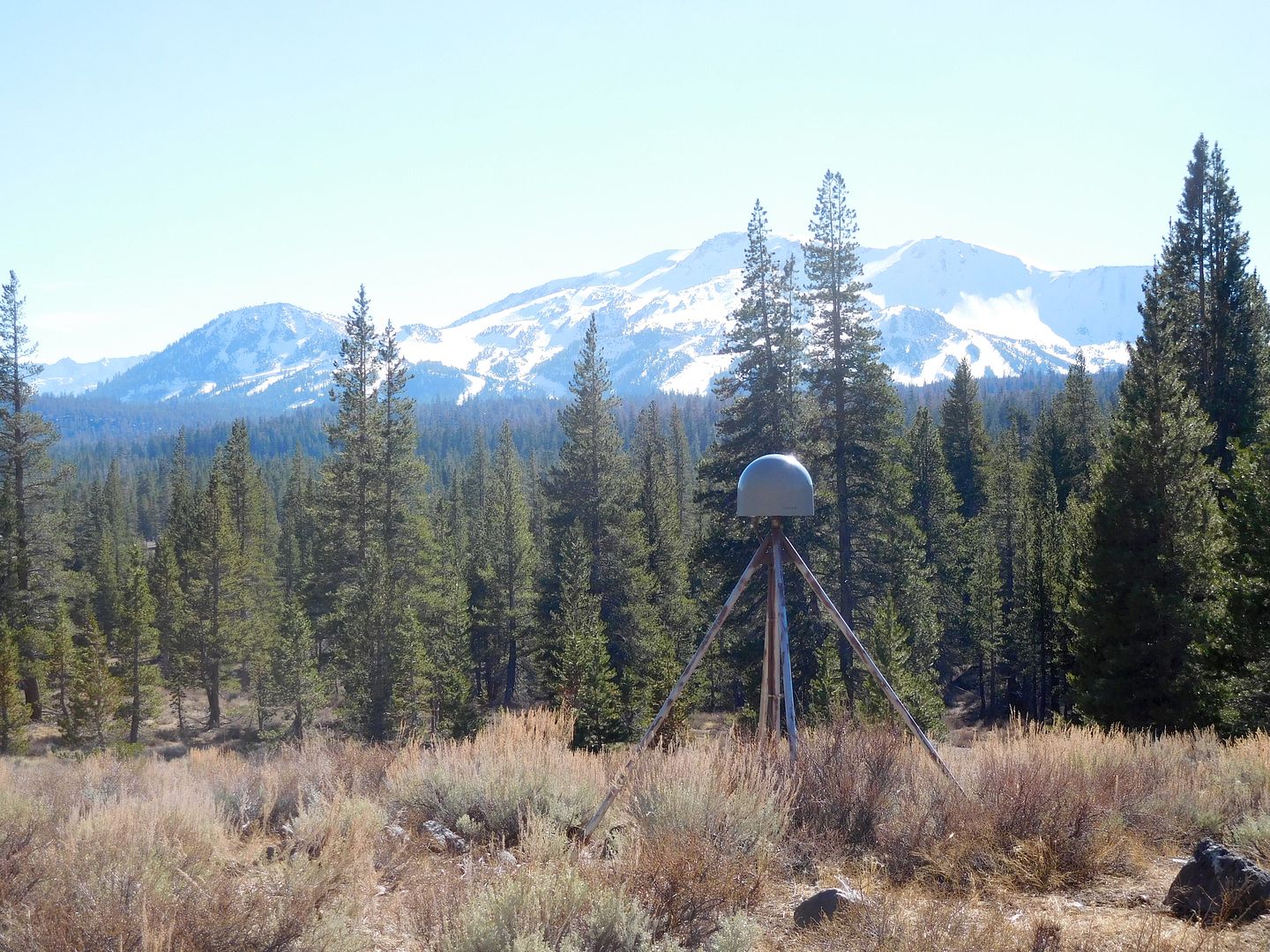
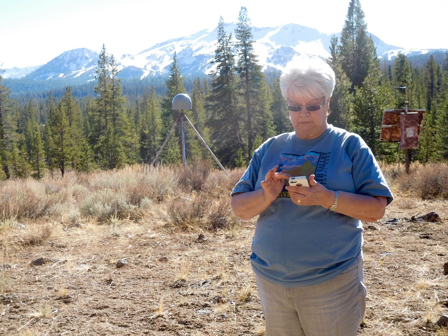
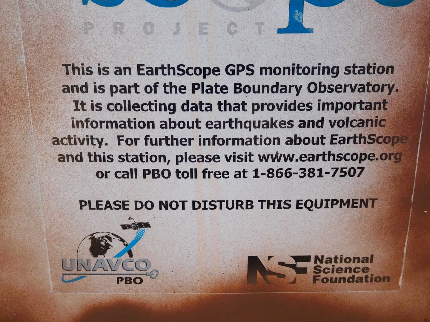
Wait! Whats that in Jeanie hand? We had 5 bars cell service here, better than we get at home. And what is that apparatus in the background? Seismic tectonic vibration reading equipment.
I can’t give a report without our traditional SeeAlice pose with one shared Sierra Nevada beer and the two chairs as the sun sets: tubs were a bit much to bring up here.
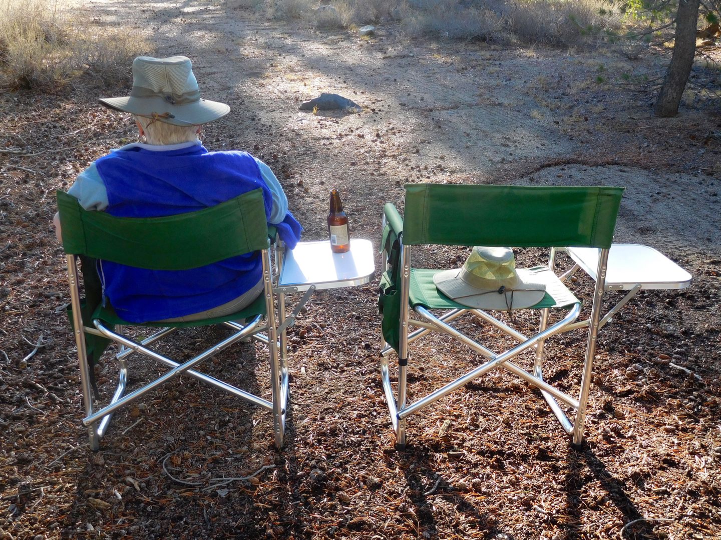
I call this: Hope springs eternal:
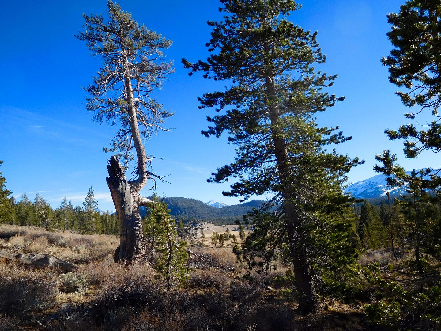
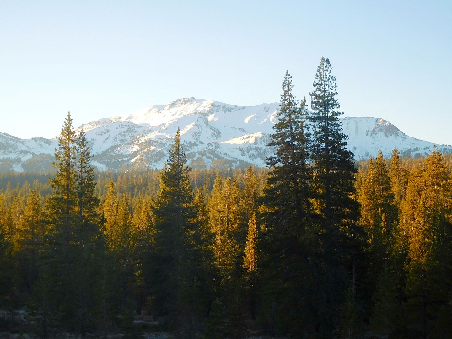
By morning, it was a whole new light: The big white granite outcropping is the Mammoth Mountain ski area, and it's proximity is the only reason we had cell service at all.
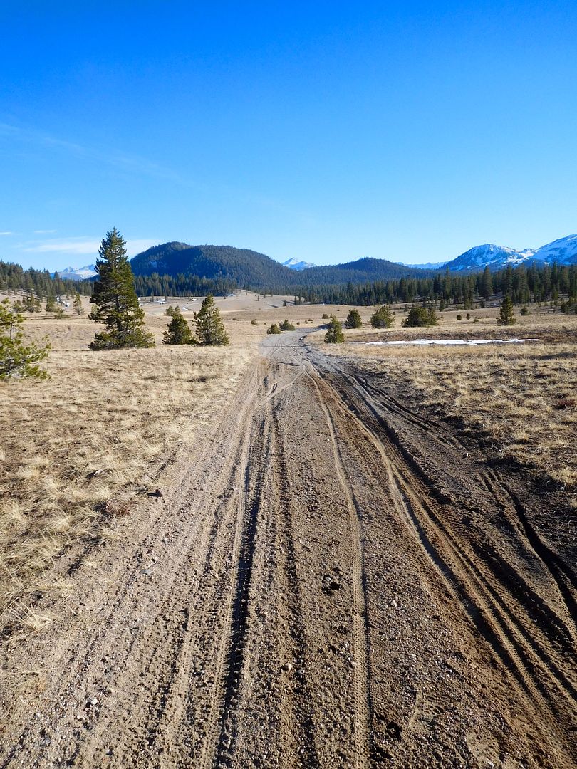
Not many tracks other than bicycles through the pumice flats:
Jeanie took this short vid on the way down to the pumace flats: click on vid:
We wanted to savor the area that we had quickly passed over in our youth and decided to check out the nearby Inyo Craters. A mile hike up to the cones was rewarded with these three youngsters in terms of geologic age: 550 years ago, one after another within 100 yards and days of each other, the three cones erupted. About the time of the end of the Dark Ages in Europe.
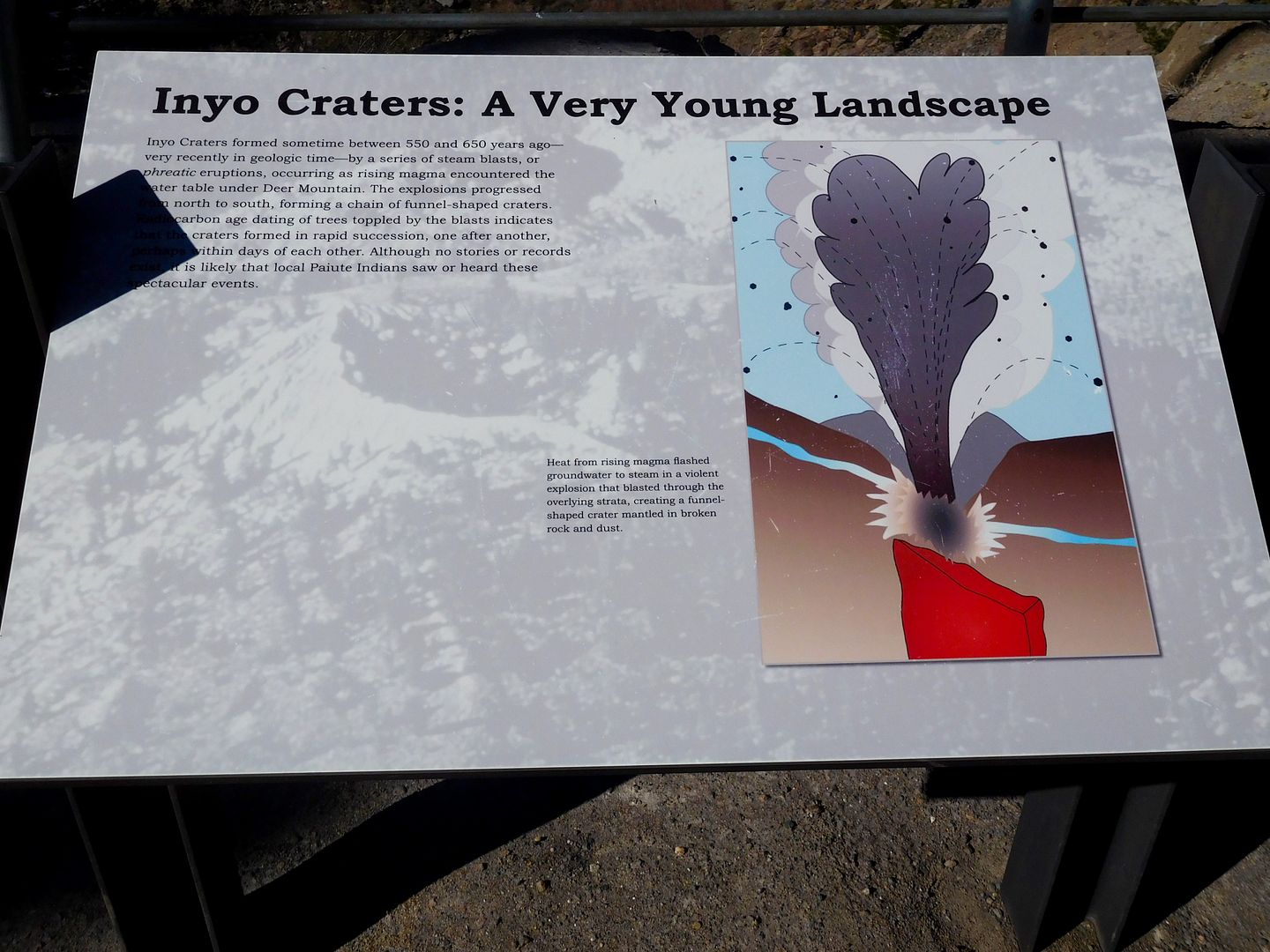
Highest cone:
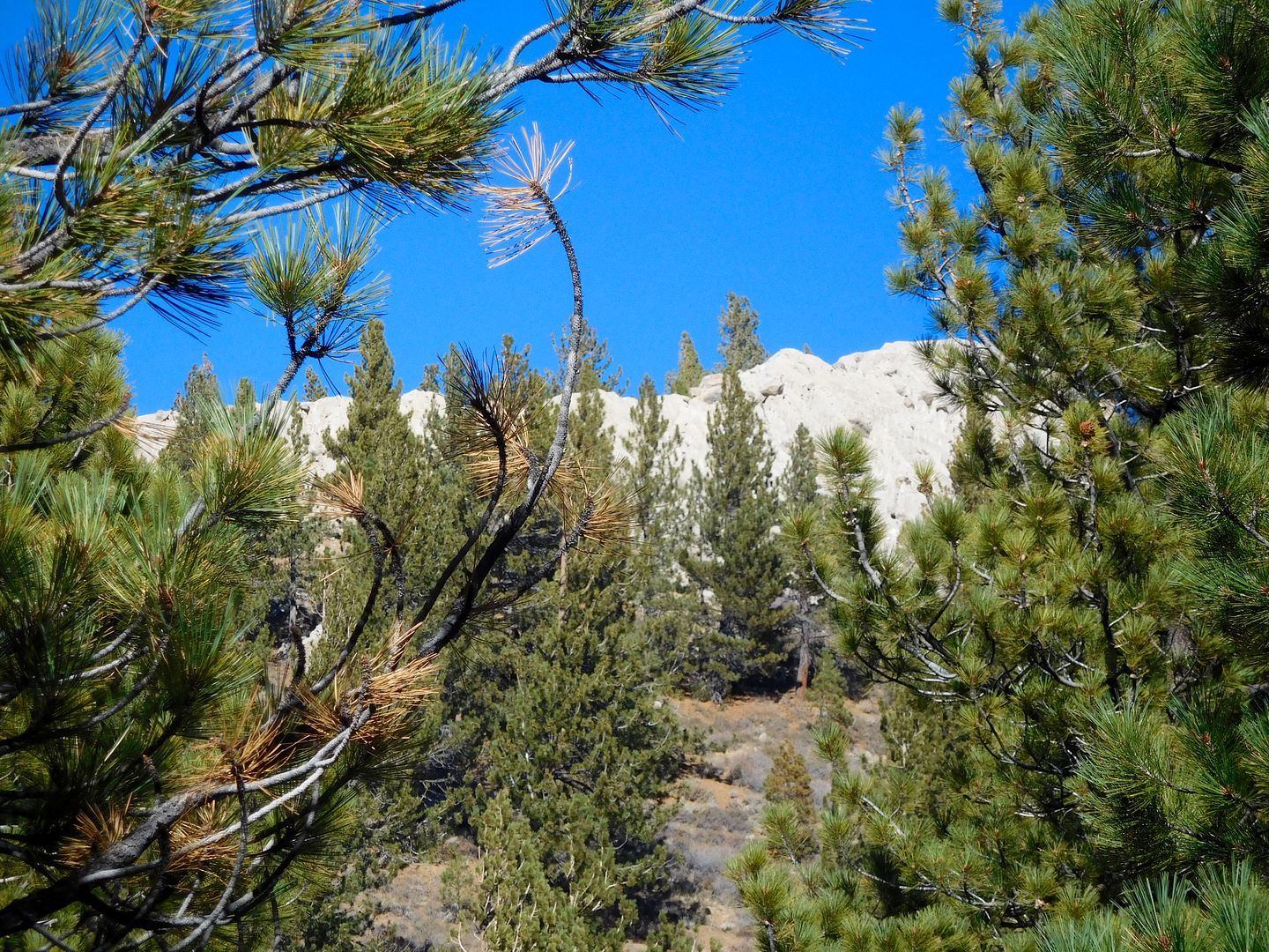
Middle cone:
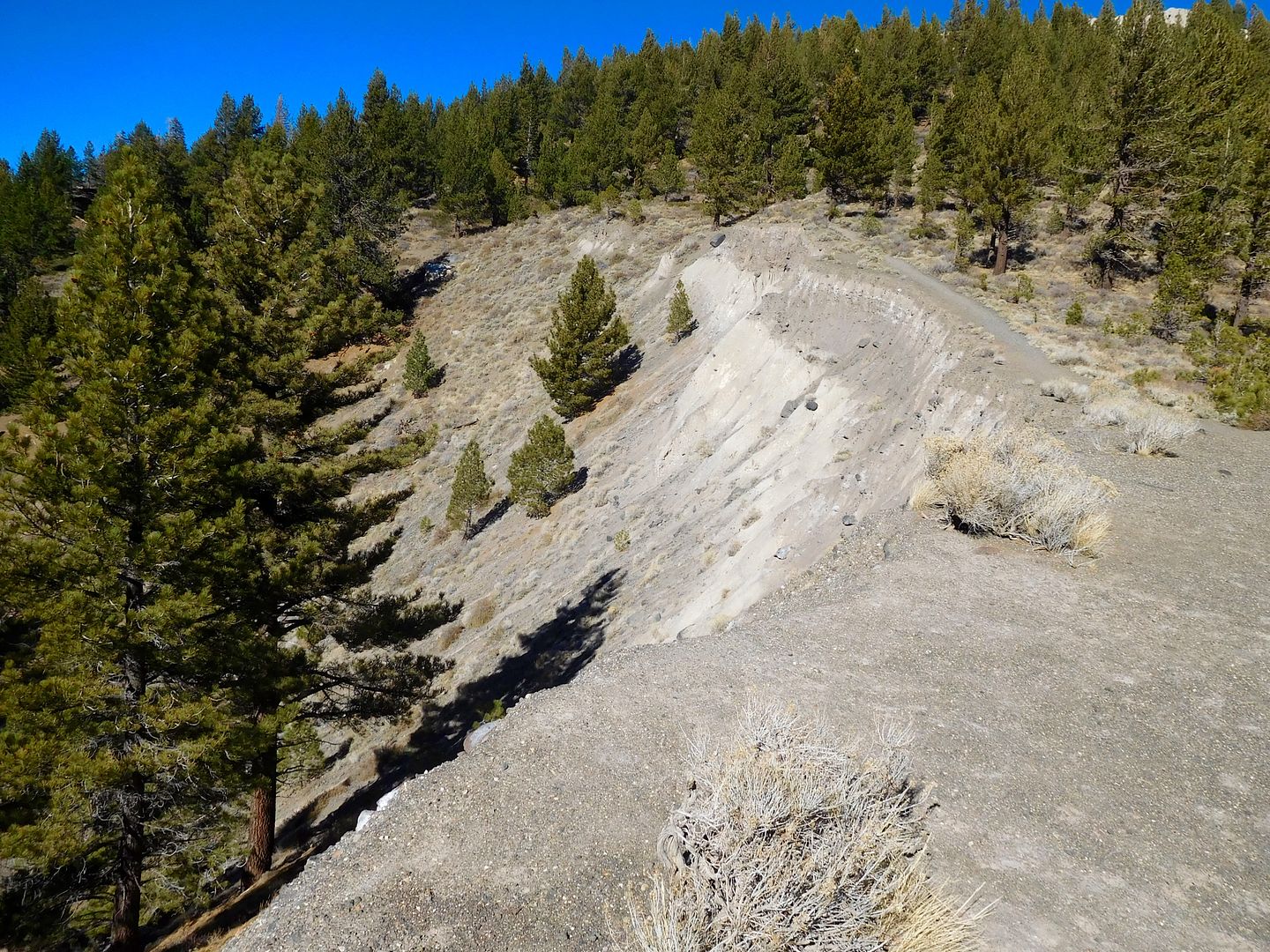
lower cone:
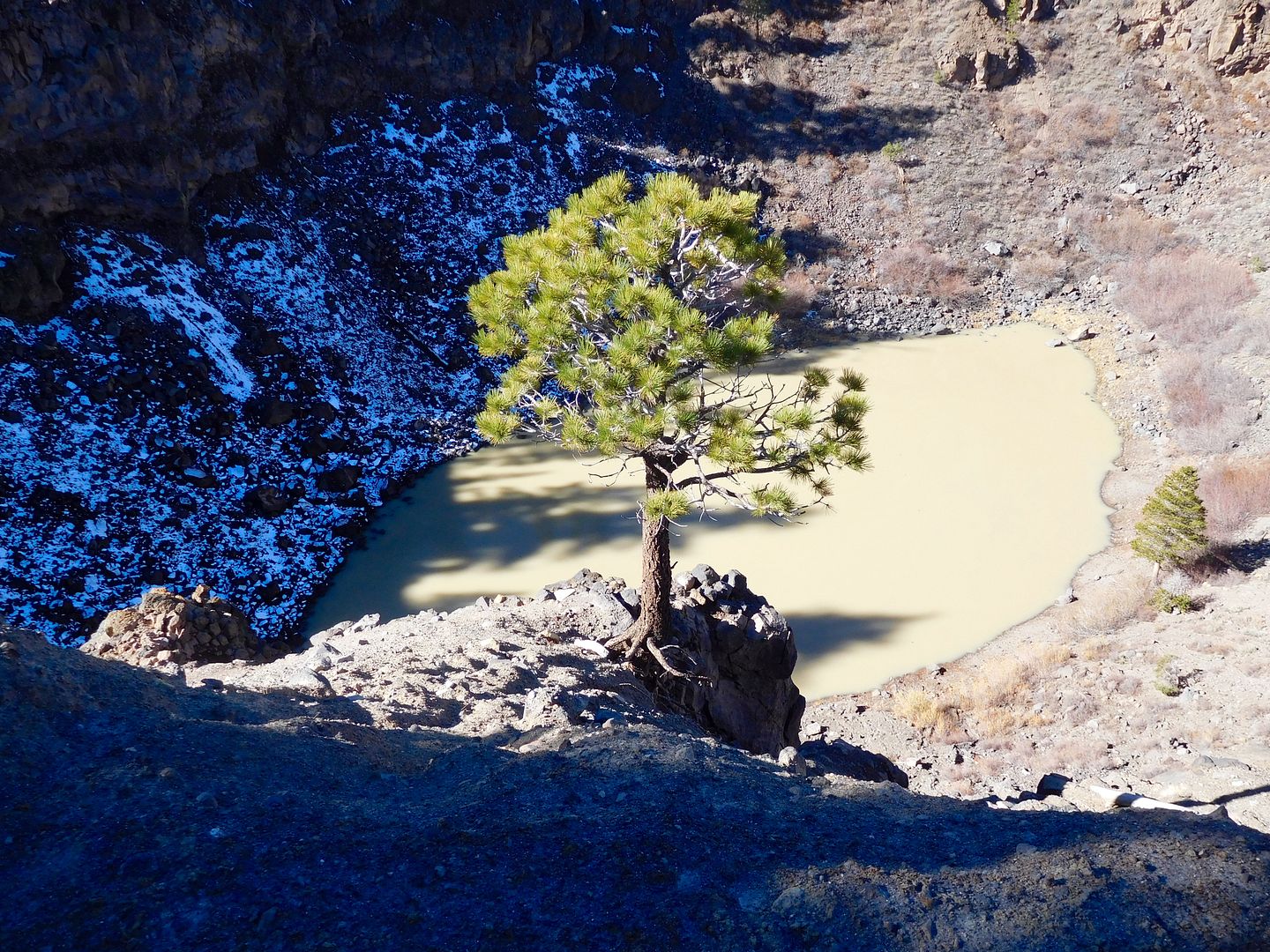
Now we know why there is so much pumice around. These three blew only pumice and tear drop obsidian, no lava. After lunch we decided once again to change plans. I wanted to further explore around Mono Lake. We set out for the site of Mono Mills, a logging and firewood narrow gauge railroad operation that serviced Bodie with wood products from the edge of that Jeffrey Pine Forest. Also, I wanted to drive on some sand.
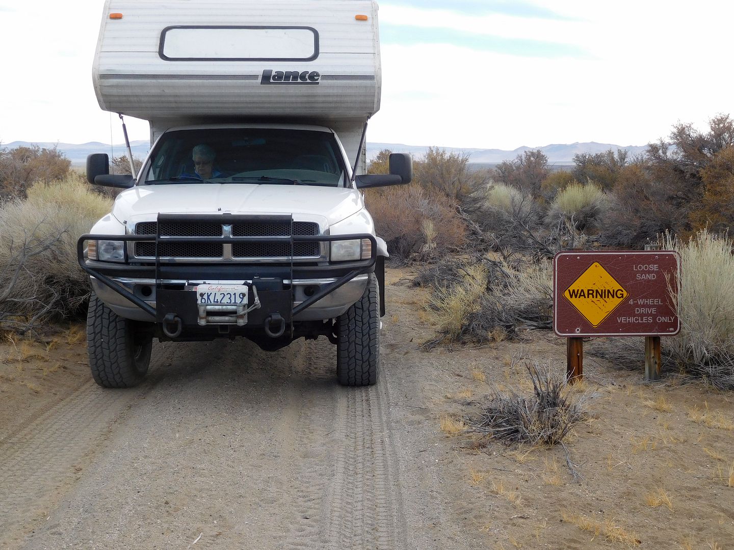
Here any truck camper is too wide, even the 86” narrow Lance. A snootful of desert pin stripes ensued.
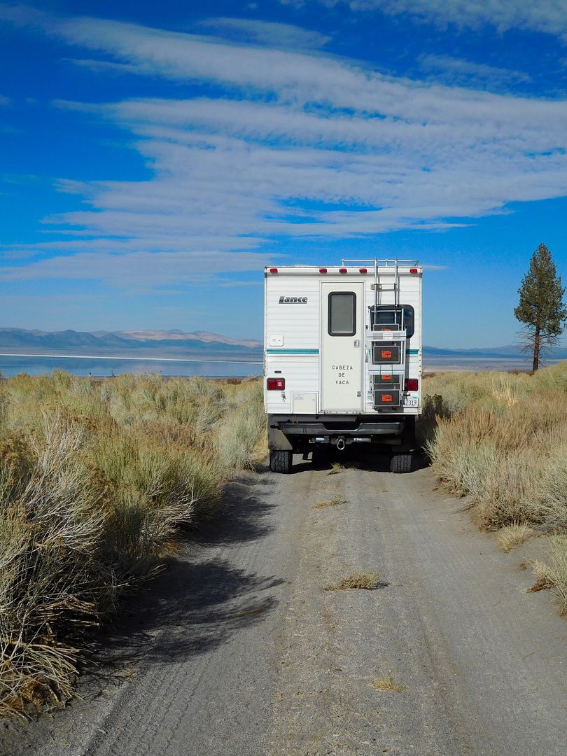
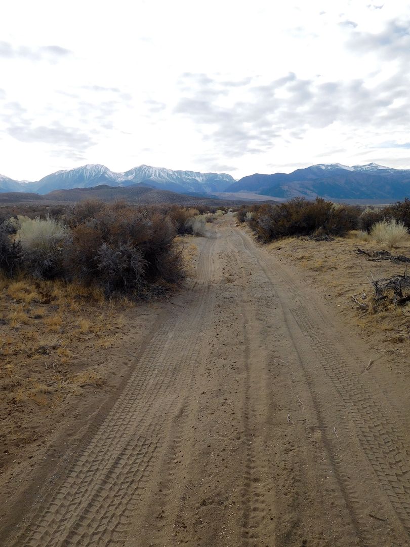
Tying up for the night here with Mono Craters in the background:
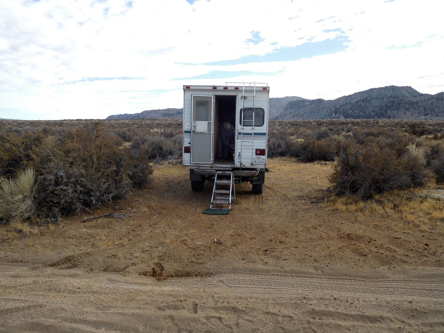
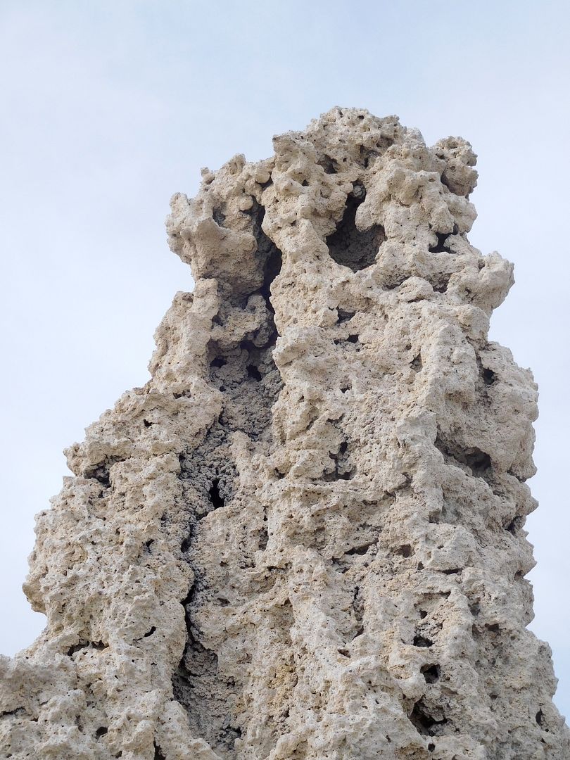
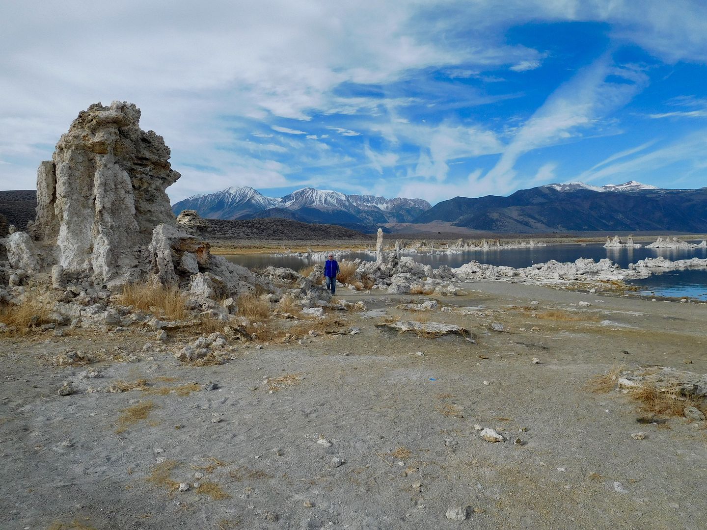
Looking out from our camp I spied some ossified springs which had been underwater until the City of L.A. captured all the water from its tributaries: They look like stalagmites. These were Tufa.
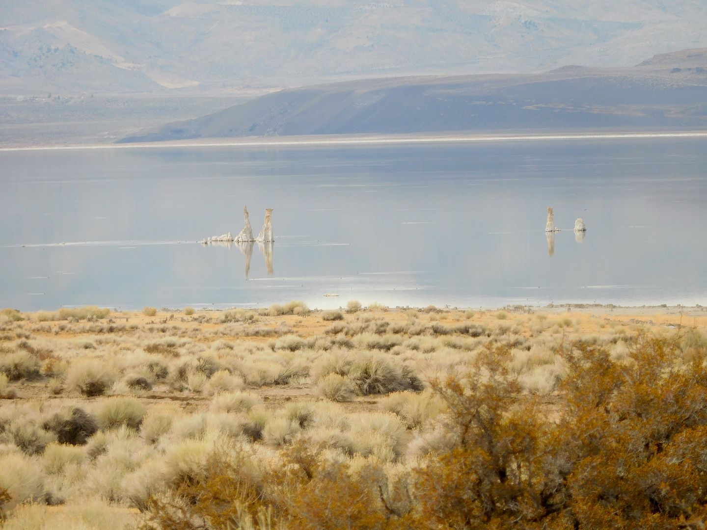
After breakfast of homemade yogurt, berries, turkey sausage, raisin bagels, almond butter and creme cheese, we had to investigate these strange objects.
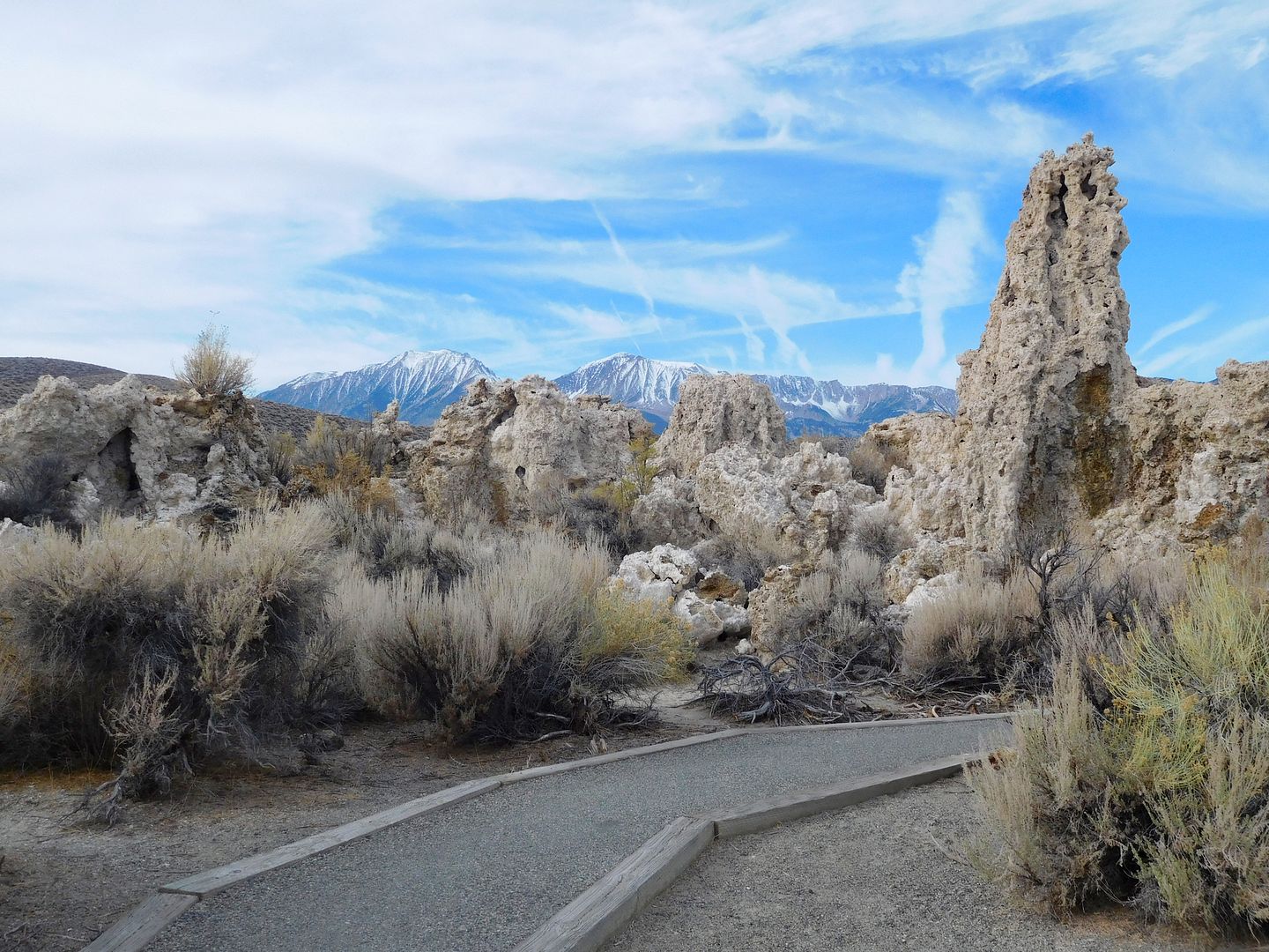
With Jeanie in the frame, you get an idea of scale:
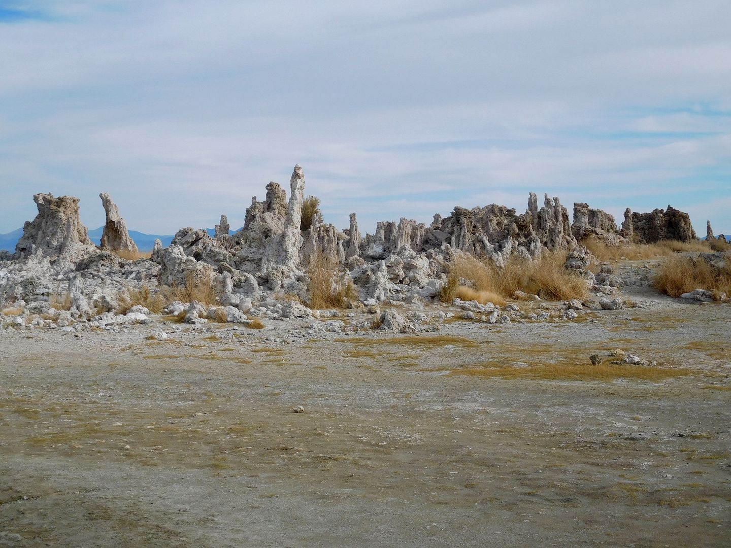
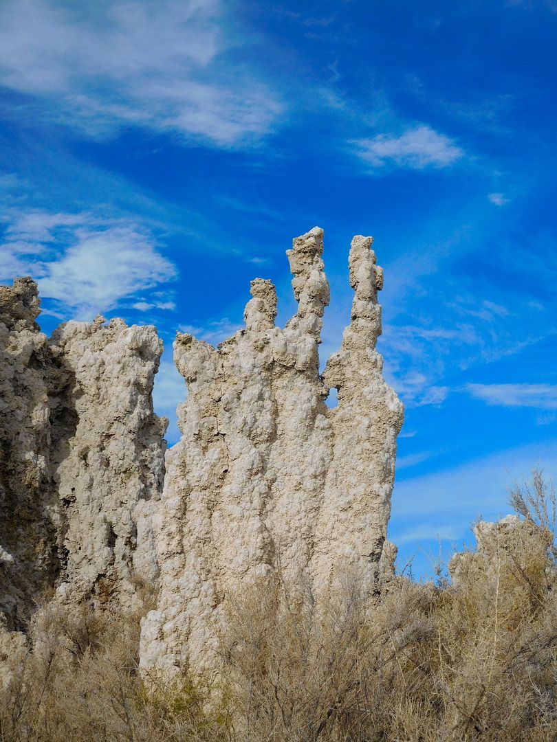
and I call this one, the fickle finger of fate, or, which way should we go?:
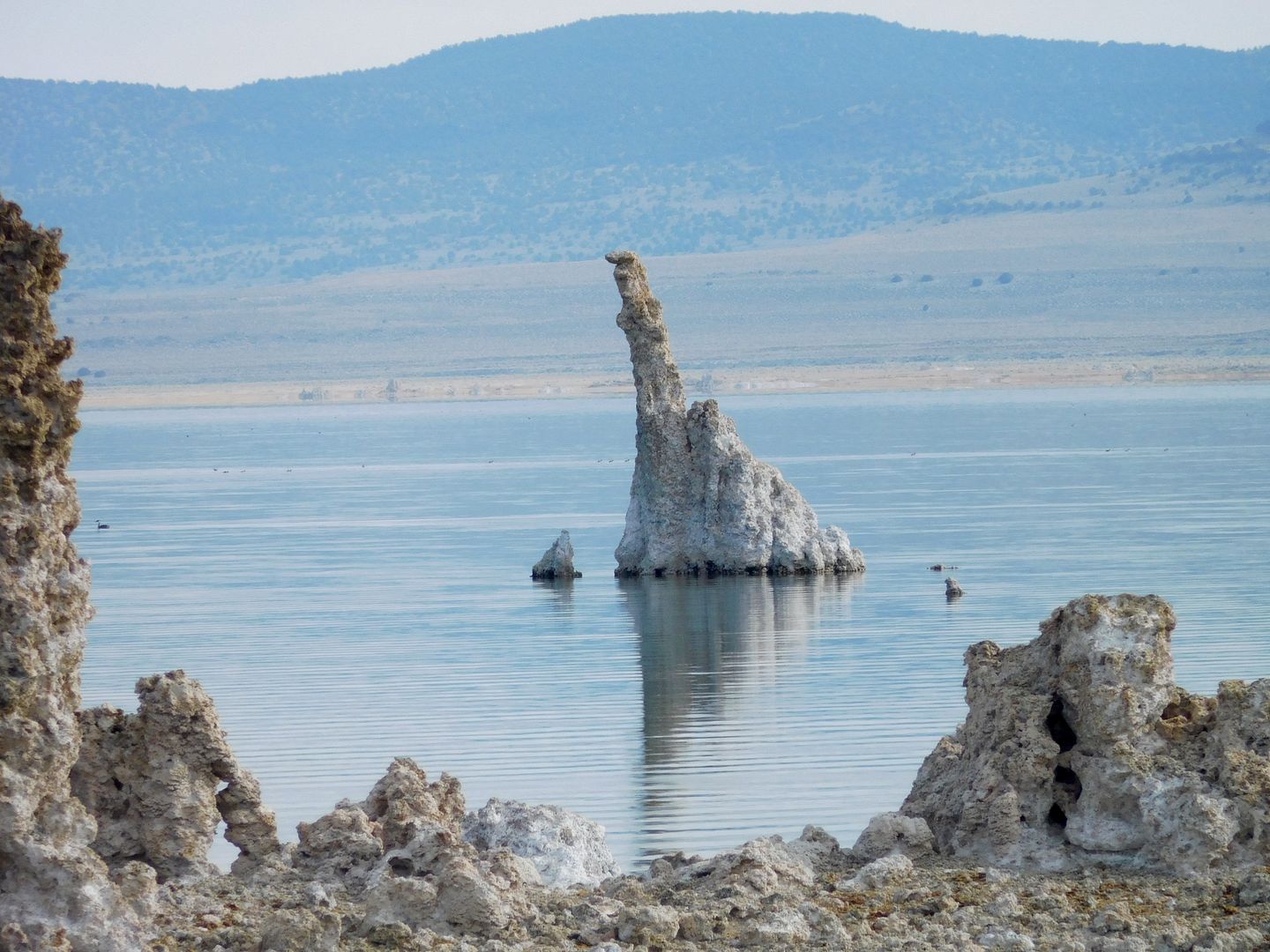
We spent a lot of time here savoring this moment in time. To wind up our trip, we visited another crater, The Panum Crater, another youngster in geologic time and another 600 year ago Pumice blast.
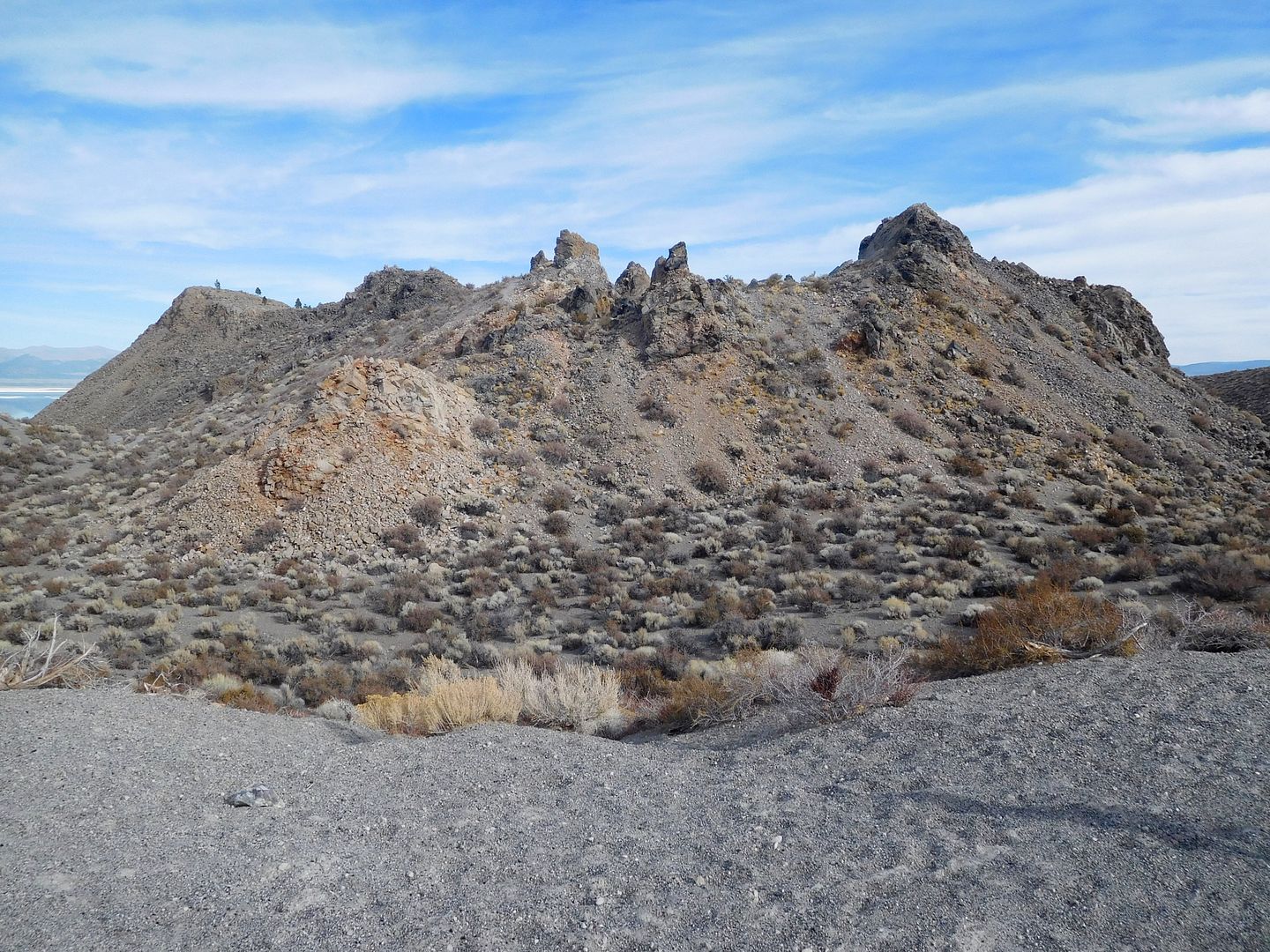
This was a great trip. We took it a day at a time with NO real itinerary. It took a couple days to make our time in the TC return to our usual well oiled machine. My new traction devices and 4.10 gears worked just great and we saw few people along the route. I used 4WD on the sandy roads, but never came close (darn) to having to lower the pressure. All four wheels pulled us through the blowsand as advertised. I was ready with my trusty CO2 tank and auto deflators. Our official Fall through Spring XTC travels are on.
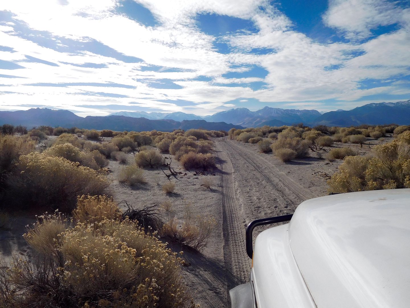
I’ll leave you the way i came in with my ‘eternity’ driving on sand shot: jefe

