I'm also a Delorme InReach owner...
We used it on our trip this past year, with the recording intervals set to 10minutes. Their mapping tool will display it on a map that you can share publicly or password protect, and all of the data can be downloaded as a KML or GPX files.
Never did need the satellite communication features, but it was comforting to know that it was available in the event of an off-grid emergency.
Here's a couple of screenshots;
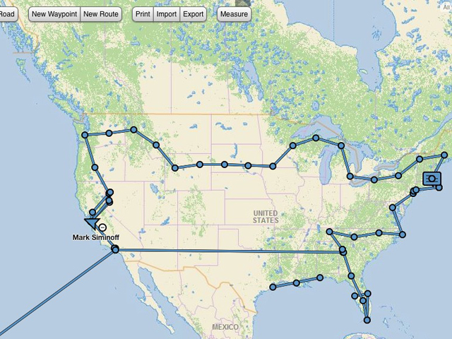
I purchased the InReach in Houston, so the track starts there. When the image is zoomed out the resolution is low. (the long straight lines are plane flights :) )

When zoomed in you can easily see each of the waypoints at 10 minute intervals.
Cheers,
-Mark