Tiger4x4RV
Sep 30, 2013Nomad
Trip Report: A TC-type ramble in the Eastern Sierra
September 21-29, 2013. This would make a great trip for a small to mid-size TC except for some disclaimers to be noted later. Since I had knee replacement surgery two months ago, many of these photos were taken from the seat of the truck instead of my usual hikes.
First night's camp: Tuttle Creek BLM camp

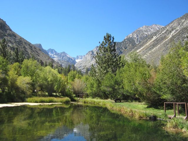
Explored up the road to Big Pine Trailhead. Here's the trout pond at Glacier Lodge at the end of the road:
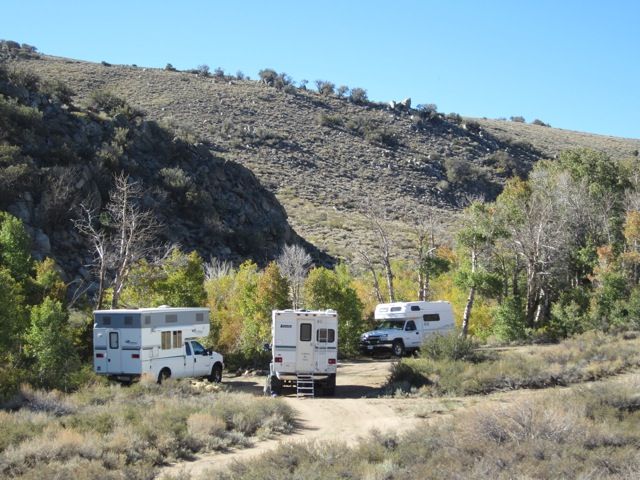
Second night's camp. Jefe4x4 will explain this one in his trip report. One Lance on a Dodge and one Outfitter on a Ford, both driven by very experienced off-roaders. One Tiger Class C on a Chevy, driven by a semi-experienced driver who was sure that we faced death or at least broken trucks. Disclaimer applies to this campsite and the route to/from it: Not just anyone or just any vehicle can get here.
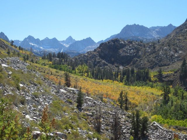
Bishop Creek Canyon from the highway in Aspendell:
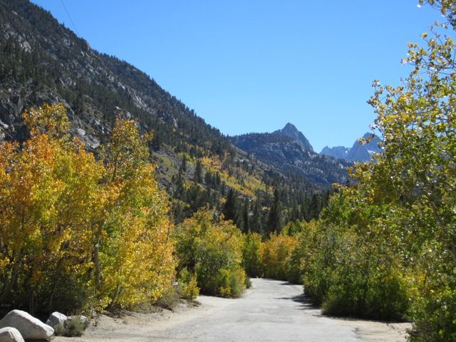
The road inside Sabrina USFS campground.
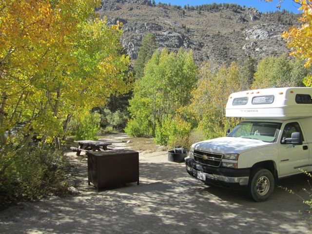
Third night's campsite, at Sabrina. It got down to 18 degrees F and was snowing in the morning.
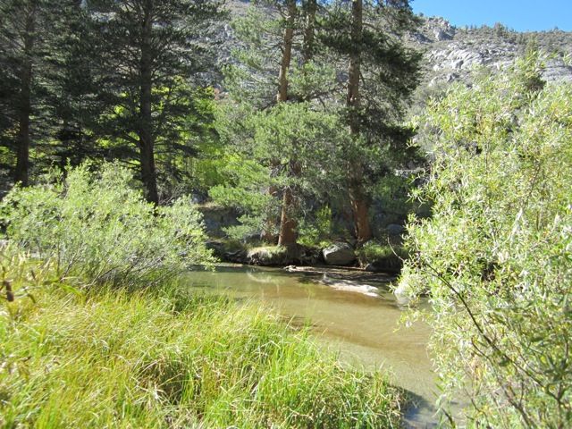
Bishop Creek flowing through Sabrina campground. People fish here.
The view from the dam at Lake Sabrina. The lake was nearly dry.
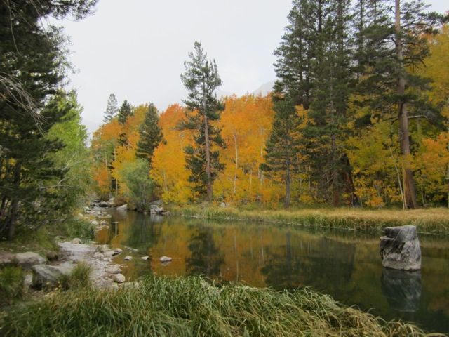
Fall color on Bishop Creek at a pond just below the dam.
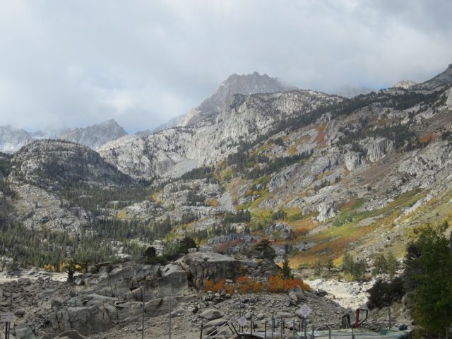
View from the hikers' parking at South Lake, also nearly dry. Some fabulous hiking trails lead out from this spot, but not today.
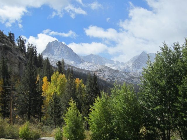
Buttermilk Country from the highway:
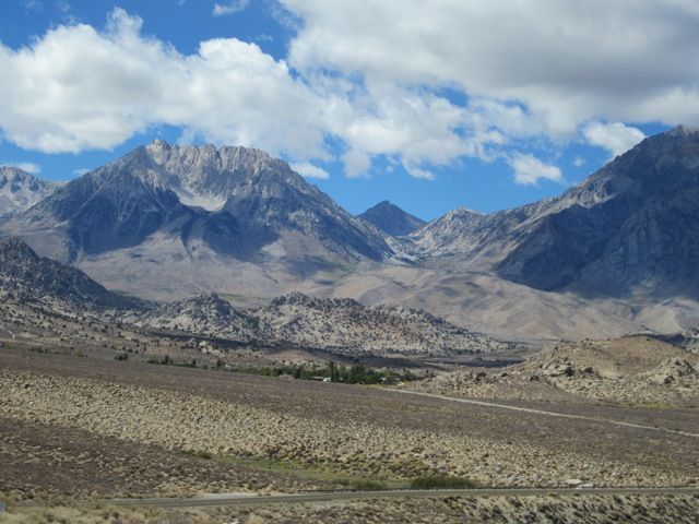
I spent the next two nights at Horton Creek BLM camp, but didn't take any photos.
Rock Creek from the trail to Little Lakes Valley. I walked a nearly flat quarter mile from the Mosquito Flat trailhead (highest in the Sierra) out to the wilderness sign, sat there for a while, and walked back to the truck. Wonderful walk with my new knee on a freezing day.
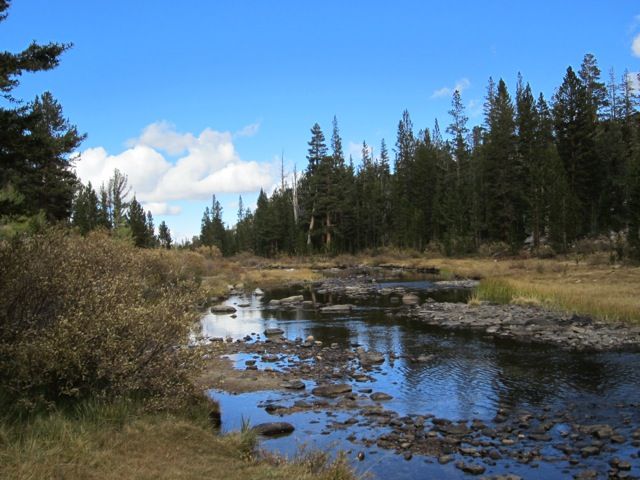
Spent a few hours around Mammoth Lakes: drive to pretty spot, sit there and soak it in, take pictures, proceed to next pretty spot. Some short flat walks. Something for everyone here: little walks, hard hikes, mountain biking, etc.
View from Minaret Vista:
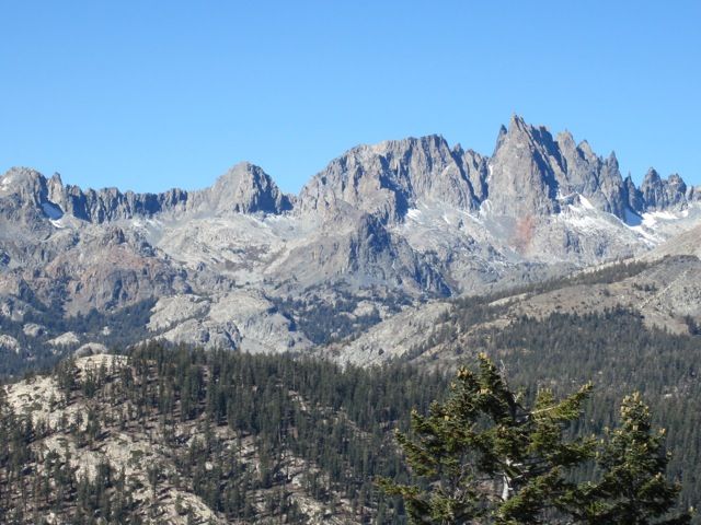
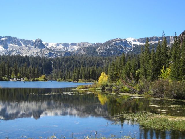
View over Twin Lakes:
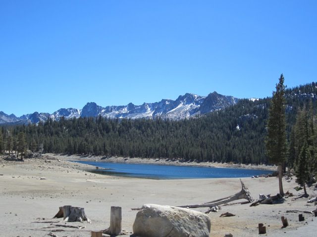
View over Horseshoe Lake:
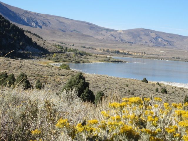
View of Mono Lake from a dirt road below the visitors center. 4WD not required.
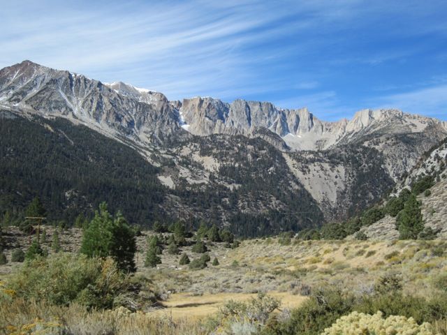
Camped at Lower Lee Vining USFS; no photos of the camp, but here's a morning view toward Tioga Pass from the road into camp.
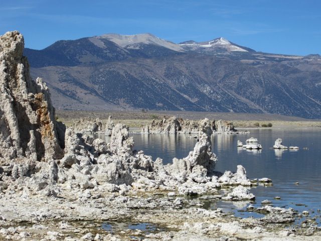
View toward the Sierra from the South Tufa area at Mono Lake:
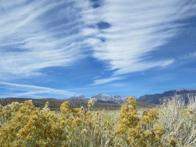
The wind was making wonderful patterns in the clouds.
I got out my copy of the Motor Touring in the Eastern Sierra, Mono County booklet, available online and did #7: Crooked Meadow. It sounds rather daunting, but probably could have easily been driven in my little Honda in good weather. However, do not go if you cannot handle being very alone. I saw one SUV and two motorcycles midafternoon the first day, camped overnight totally alone, and saw a pickup truck late the next day. That's it. And no cell signal.
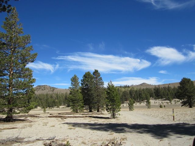
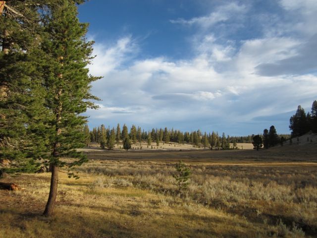
Camp at Crooked Meadow, just a pulloff next to the road with no amenities except natural beauty.
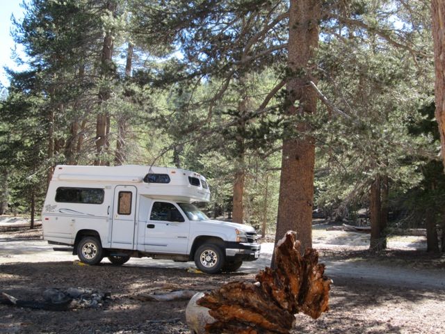
Morning at Crooked Meadow:
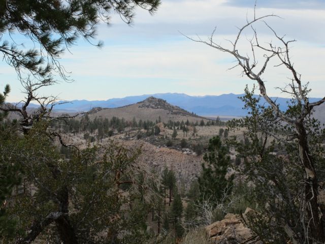
Vistas from Crooked Meadow Road:
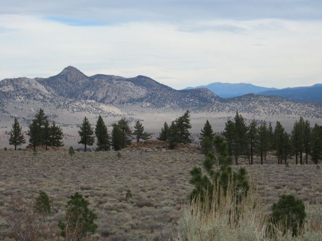
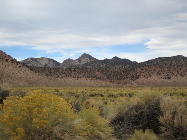
Vista in Taylor Canyon, toward the end of the Crooked Meadow drive.
First night's camp: Tuttle Creek BLM camp

Explored up the road to Big Pine Trailhead. Here's the trout pond at Glacier Lodge at the end of the road:

Second night's camp. Jefe4x4 will explain this one in his trip report. One Lance on a Dodge and one Outfitter on a Ford, both driven by very experienced off-roaders. One Tiger Class C on a Chevy, driven by a semi-experienced driver who was sure that we faced death or at least broken trucks. Disclaimer applies to this campsite and the route to/from it: Not just anyone or just any vehicle can get here.

Bishop Creek Canyon from the highway in Aspendell:

The road inside Sabrina USFS campground.

Third night's campsite, at Sabrina. It got down to 18 degrees F and was snowing in the morning.

Bishop Creek flowing through Sabrina campground. People fish here.

The view from the dam at Lake Sabrina. The lake was nearly dry.

Fall color on Bishop Creek at a pond just below the dam.

View from the hikers' parking at South Lake, also nearly dry. Some fabulous hiking trails lead out from this spot, but not today.

Buttermilk Country from the highway:

I spent the next two nights at Horton Creek BLM camp, but didn't take any photos.
Rock Creek from the trail to Little Lakes Valley. I walked a nearly flat quarter mile from the Mosquito Flat trailhead (highest in the Sierra) out to the wilderness sign, sat there for a while, and walked back to the truck. Wonderful walk with my new knee on a freezing day.

Spent a few hours around Mammoth Lakes: drive to pretty spot, sit there and soak it in, take pictures, proceed to next pretty spot. Some short flat walks. Something for everyone here: little walks, hard hikes, mountain biking, etc.
View from Minaret Vista:

View over Twin Lakes:

View over Horseshoe Lake:

View of Mono Lake from a dirt road below the visitors center. 4WD not required.

Camped at Lower Lee Vining USFS; no photos of the camp, but here's a morning view toward Tioga Pass from the road into camp.

View toward the Sierra from the South Tufa area at Mono Lake:

The wind was making wonderful patterns in the clouds.

I got out my copy of the Motor Touring in the Eastern Sierra, Mono County booklet, available online and did #7: Crooked Meadow. It sounds rather daunting, but probably could have easily been driven in my little Honda in good weather. However, do not go if you cannot handle being very alone. I saw one SUV and two motorcycles midafternoon the first day, camped overnight totally alone, and saw a pickup truck late the next day. That's it. And no cell signal.

Camp at Crooked Meadow, just a pulloff next to the road with no amenities except natural beauty.

Morning at Crooked Meadow:

Vistas from Crooked Meadow Road:


Vista in Taylor Canyon, toward the end of the Crooked Meadow drive.
