Tiger4x4RV
Mar 05, 2014Nomad
Trip Report: California State Water Project and more
Maybe I should call this the California Miscellaneous Lands Trip Report. It is not exactly the trip that was planned because most of the birds had already migrated and my photos of those that remained were not very good, but this trip ended up being quite interesting to me and so I will share it with you.
13 days, 2025 miles. Lost count of how many wildlife refuges I visited. Saw the former U.S. Coast Guard Queen of the Fleet, walked across Starbucks' probable first project in California, and drove over a dam that made me feel like I had wandered into the land of the giants. Visited 3 California State Recreation Areas which all turned out to be part of the State Water Project. Saw what claims to be the oldest orange tree in California.
Agriculture (crops, orchards, animals), energy (wind, oil, solar, hydroelectric), and recreation (camping, boating, fishing, hunting) all figured into this trip.
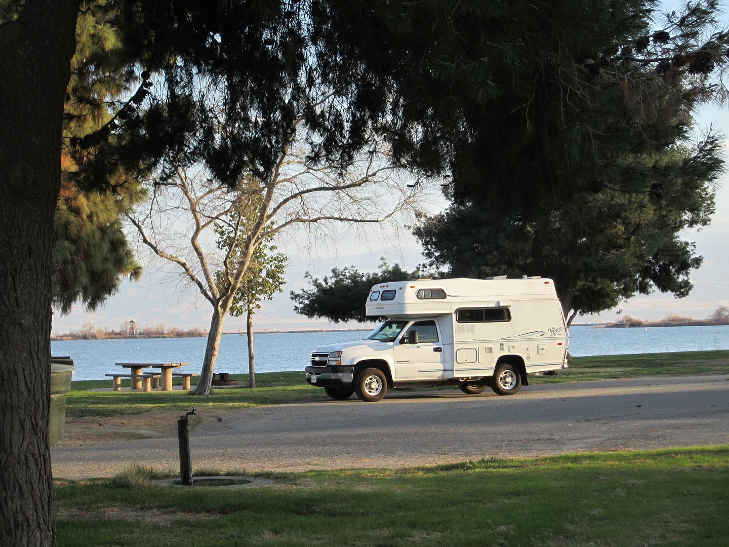
A no-hookups waterfront site at Buena Vista Aquatic Recreation Area, Kern County. This place has hundreds of sites, looks like it could be a zoo during busy season. Midweek in winter it was very pleasant, with only about 10 sites occupied.
A theme of things in rows developed:
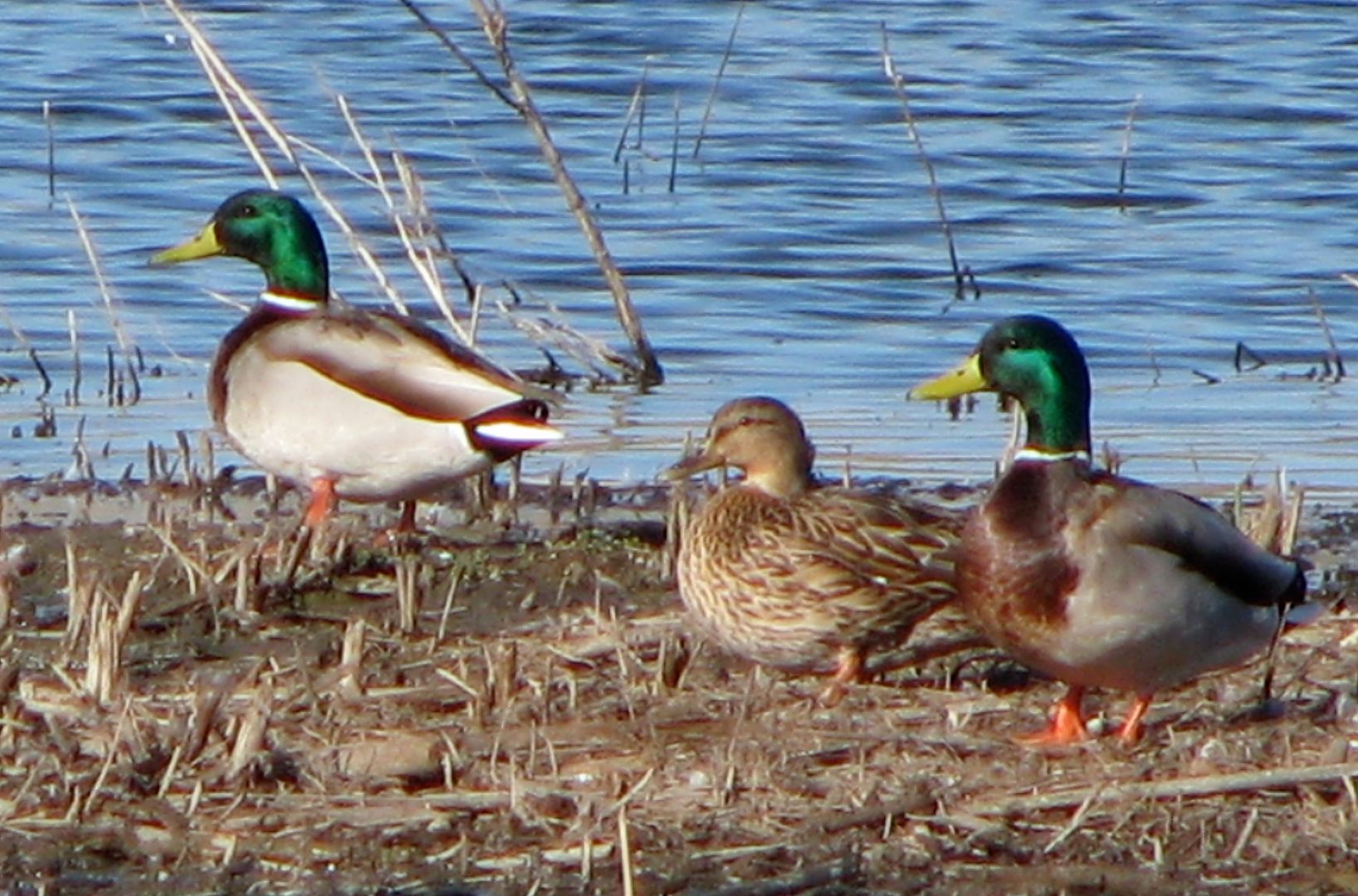
Ducks in a row:
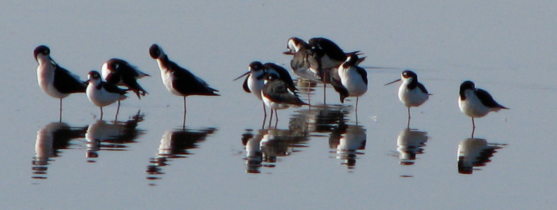
Shorebirds in a row:
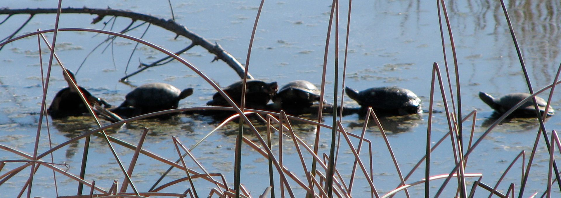
Western pond turtles in a row:
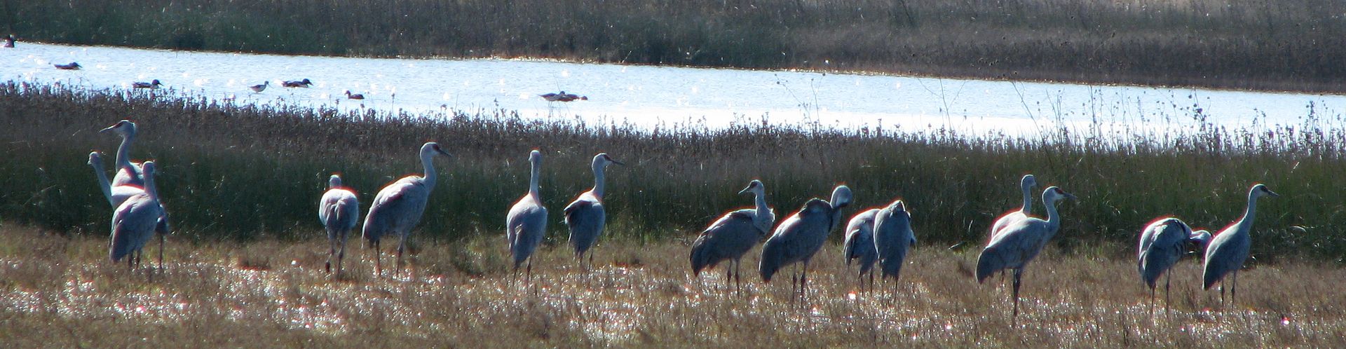
Sandhill cranes in a row:
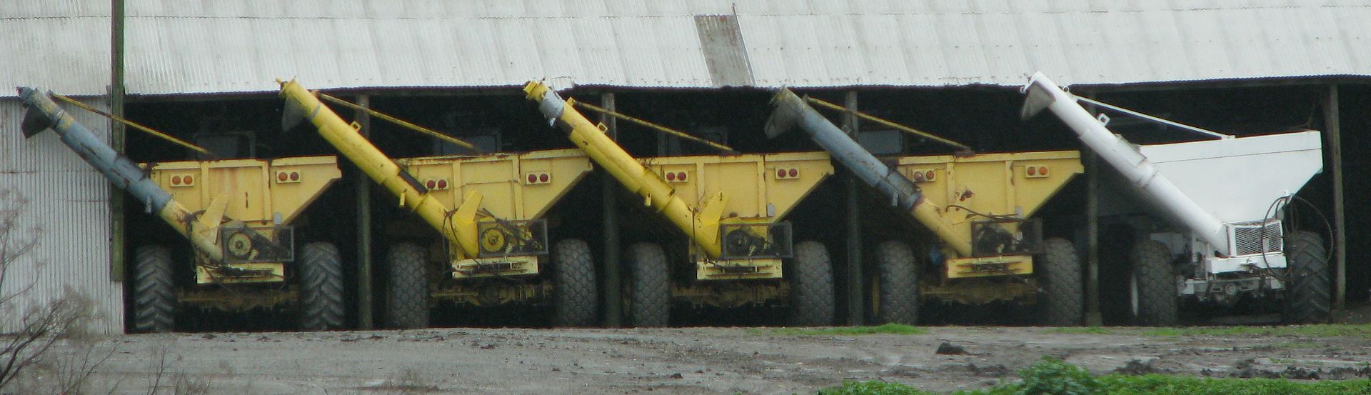
Farm equipment in a row:
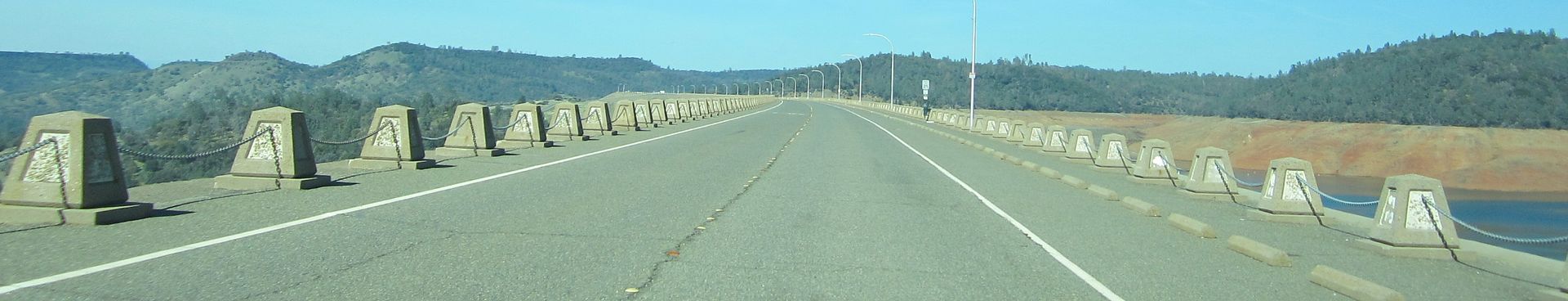
Concrete pylons in rows (the road on top of Oroville Dam):
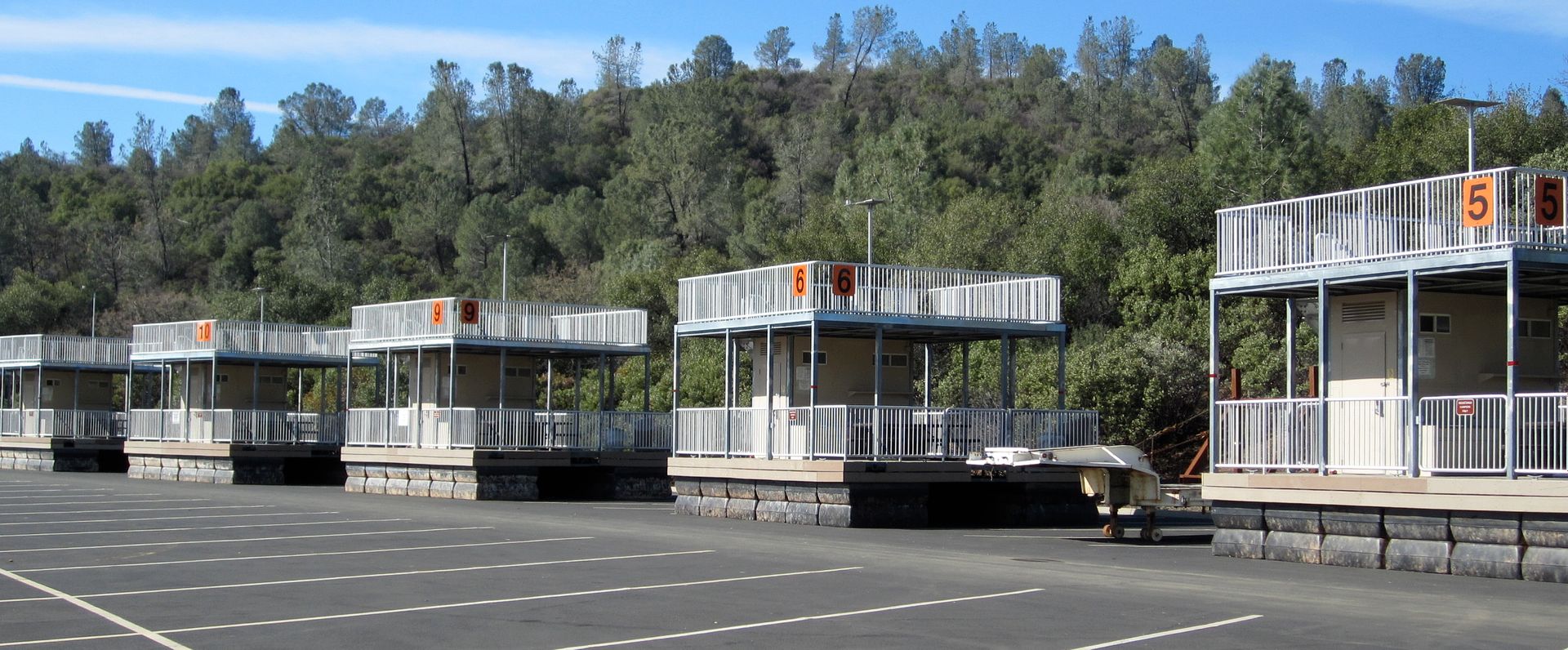
Campsites in a row (lake level is low, so the floating campsites at Oroville are in the parking lot):
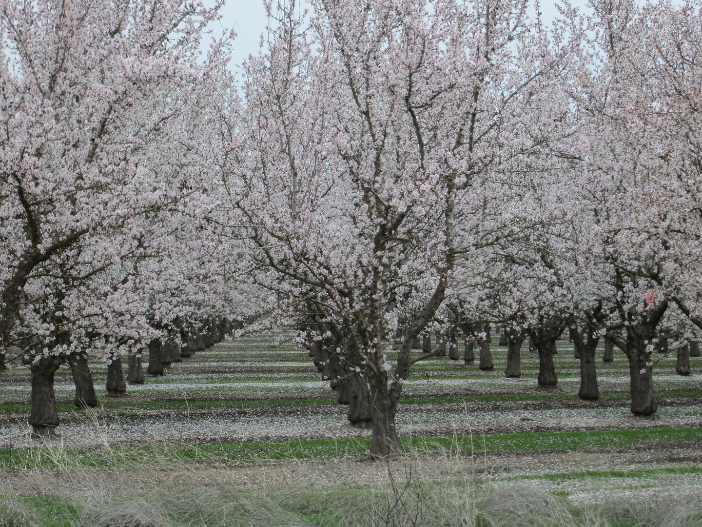
Trees in rows (almonds?):
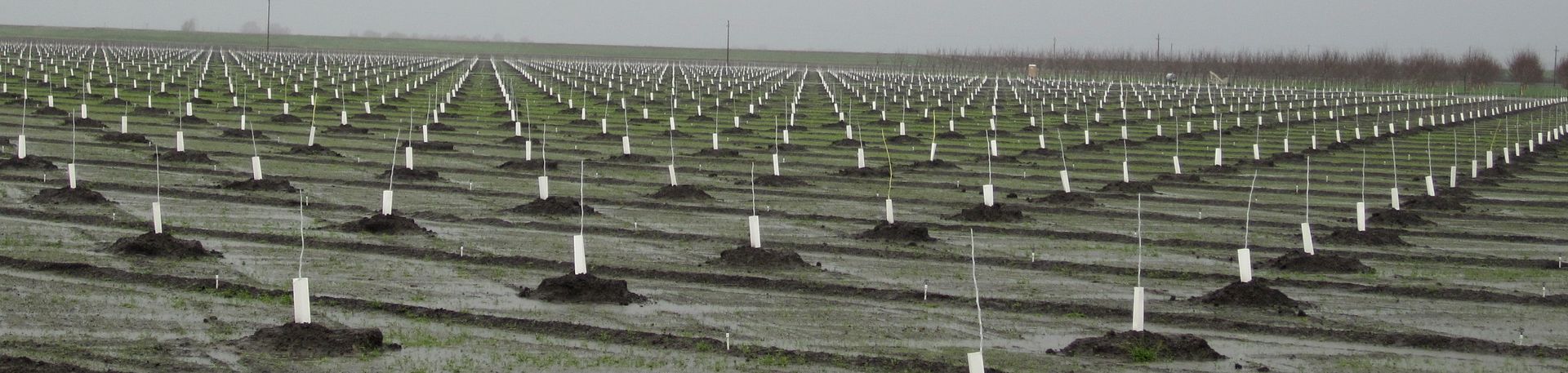
Future trees in rows:
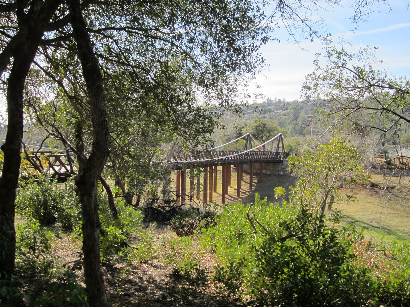
Bidwell Bar Suspension Bridge, built in 1856 by Starbucks Ironworks of Troy, New York, transported from the delivery boat to the construction site via ox-drawn wagon, relocated to higher ground to avoid inundation in Lake Oroville. A National Historic Civil Engineering Landmark. It is near a parking lot in Bidwell Canyon and you can walk across it.
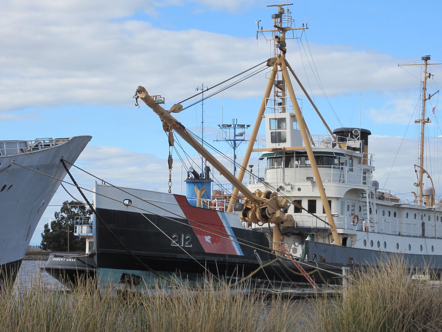 . My son-in-law serves proudly in the U.S. Coast Guard Reserves. I took this photo for him. Click here for the National Park Service publication about Fir, including probably more detail than you would ever want.
Next trip late March. I love being retired!
13 days, 2025 miles. Lost count of how many wildlife refuges I visited. Saw the former U.S. Coast Guard Queen of the Fleet, walked across Starbucks' probable first project in California, and drove over a dam that made me feel like I had wandered into the land of the giants. Visited 3 California State Recreation Areas which all turned out to be part of the State Water Project. Saw what claims to be the oldest orange tree in California.
Agriculture (crops, orchards, animals), energy (wind, oil, solar, hydroelectric), and recreation (camping, boating, fishing, hunting) all figured into this trip.
A no-hookups waterfront site at Buena Vista Aquatic Recreation Area, Kern County. This place has hundreds of sites, looks like it could be a zoo during busy season. Midweek in winter it was very pleasant, with only about 10 sites occupied.

A theme of things in rows developed:
Ducks in a row:

Shorebirds in a row:

Western pond turtles in a row:

Sandhill cranes in a row:

Farm equipment in a row:

Concrete pylons in rows (the road on top of Oroville Dam):

Campsites in a row (lake level is low, so the floating campsites at Oroville are in the parking lot):

Trees in rows (almonds?):

Future trees in rows:

Bidwell Bar Suspension Bridge, built in 1856 by Starbucks Ironworks of Troy, New York, transported from the delivery boat to the construction site via ox-drawn wagon, relocated to higher ground to avoid inundation in Lake Oroville. A National Historic Civil Engineering Landmark. It is near a parking lot in Bidwell Canyon and you can walk across it.

 . My son-in-law serves proudly in the U.S. Coast Guard Reserves. I took this photo for him. Click here for the National Park Service publication about Fir, including probably more detail than you would ever want.
Next trip late March. I love being retired!