Forum Discussion
stan909
Aug 26, 2013Explorer
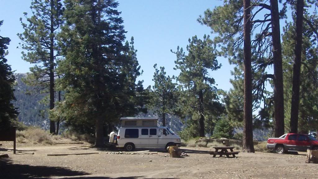
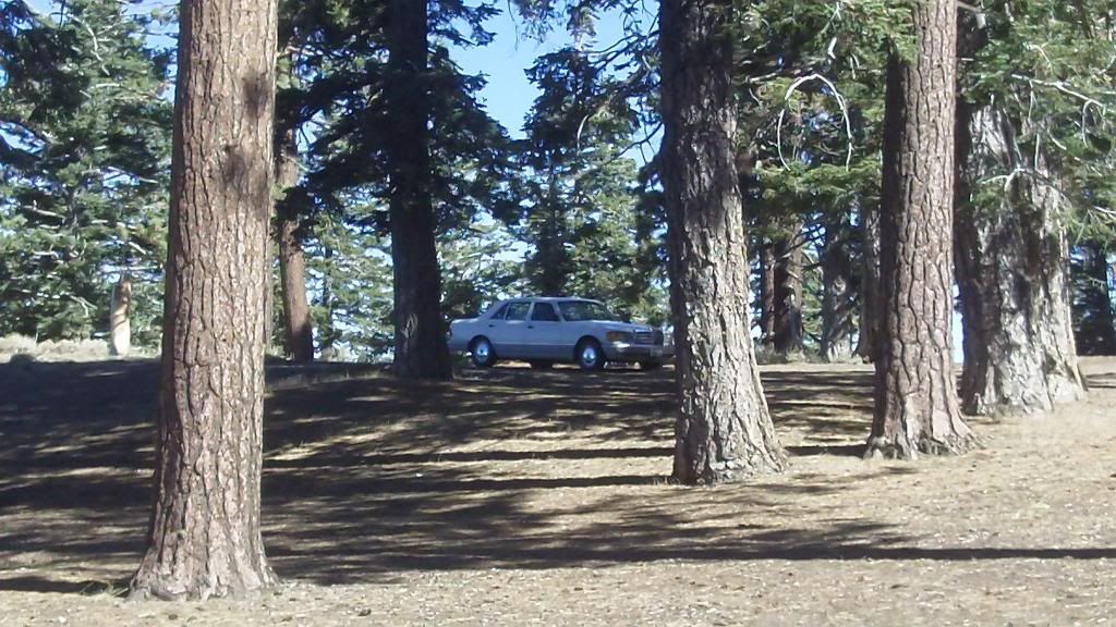
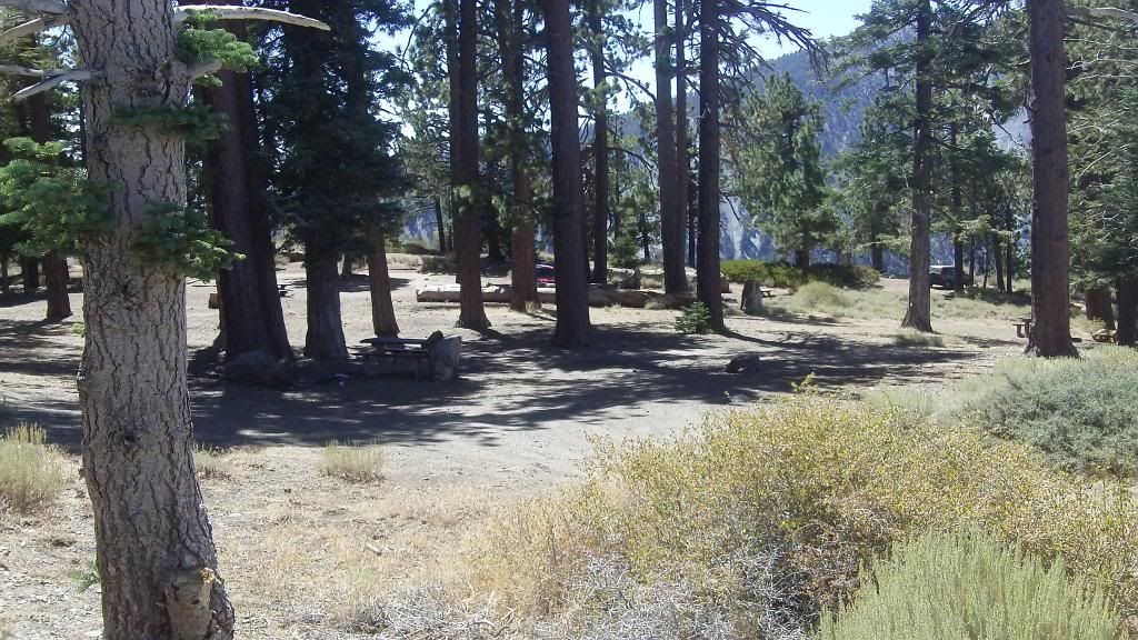
Guffy CG down Blue Ridge truck trail at end of allowable travel 6 miles from Angeles Crest highway #2.
In case you wondered if you could make it.
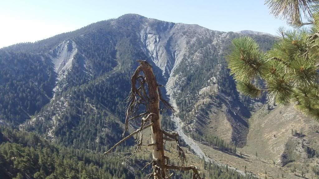
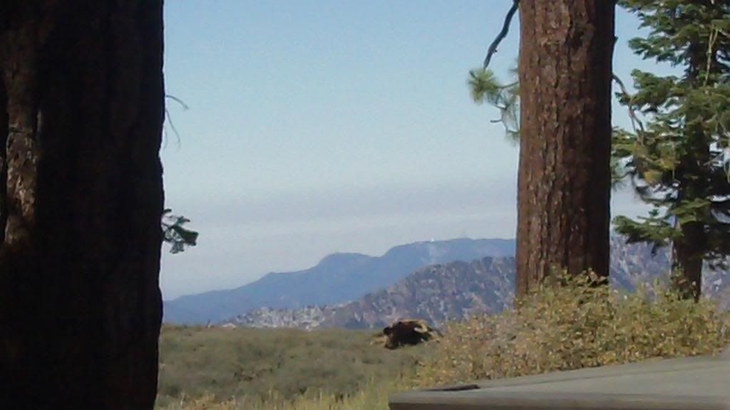
MT. San Antonio(10,399) to the south.
 .
.
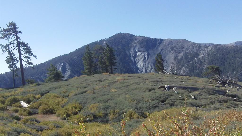
Can you see MT Wilson?.
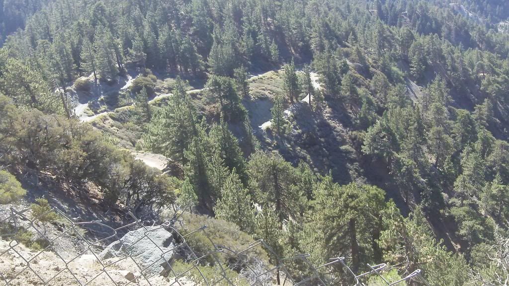
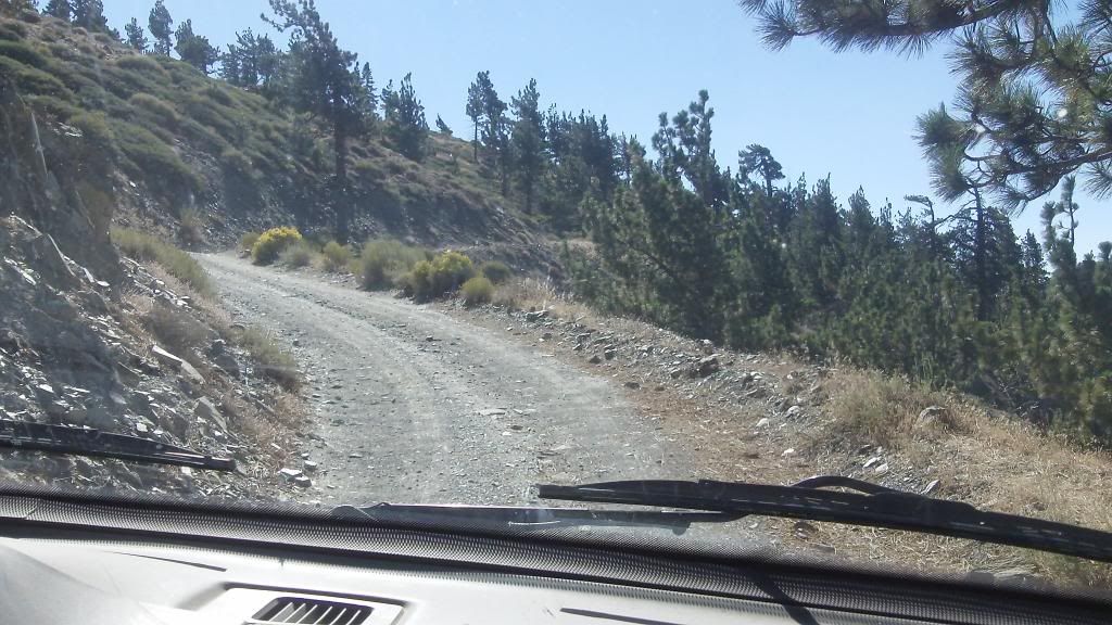
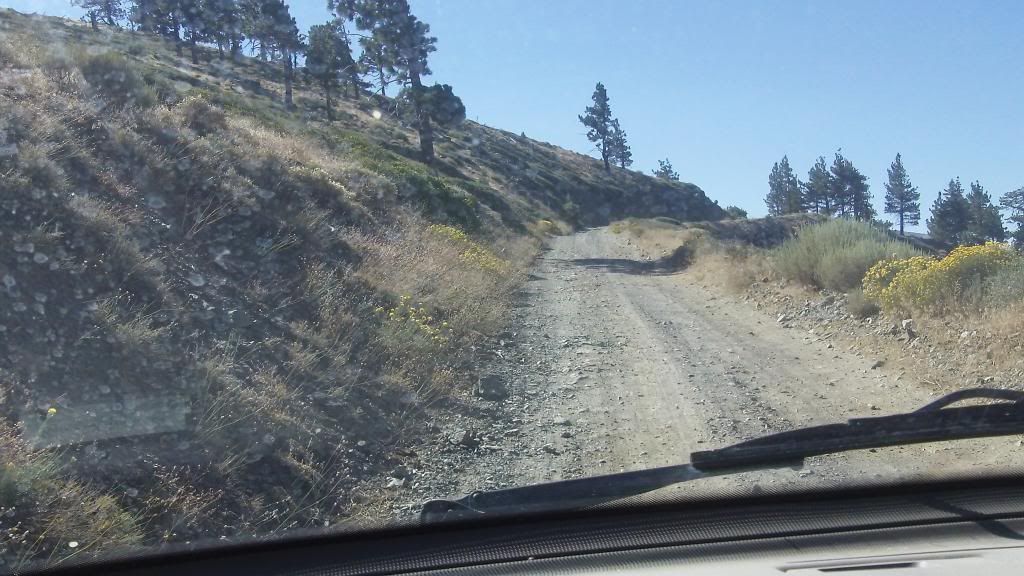
Truck Trail going down,down,down but alas not open..
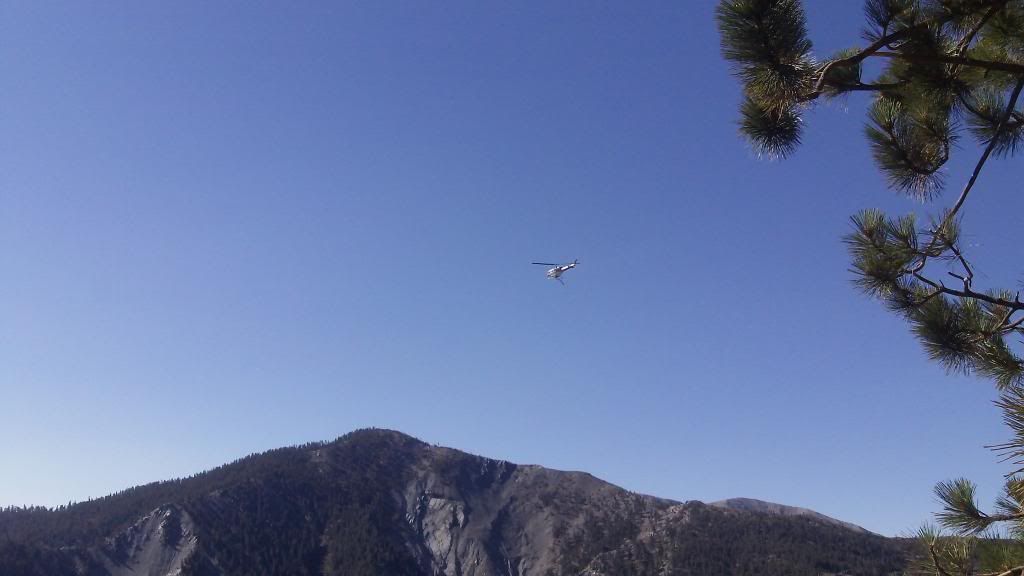
Fire fighting copter coming from one of the reseviors on the ridge..
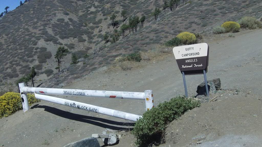
As we exit.Notice the blockaded road going down into the valley.
 .
.
Some of the road.
 .
.

BTW there was a 24ft Class C at a primitive camp along the road.Sorry did not get pic.
In case you wondered if you could make it.
MT. San Antonio(10,399) to the south.
.Can you see MT Wilson?.
Truck Trail going down,down,down but alas not open..
Fire fighting copter coming from one of the reseviors on the ridge..
As we exit.Notice the blockaded road going down into the valley.
.Some of the road.
.BTW there was a 24ft Class C at a primitive camp along the road.Sorry did not get pic.
About Motorhome Group
38,707 PostsLatest Activity: Feb 28, 2025