g1g
Feb 16, 2018Explorer
what can I get
I use to use Delorme hooked to a GPS but they are no more. Is there any other good comparable, and reasonable priced, off line mapping programs that can connect to a GPS like Delorme had.
RLS7201 wrote:
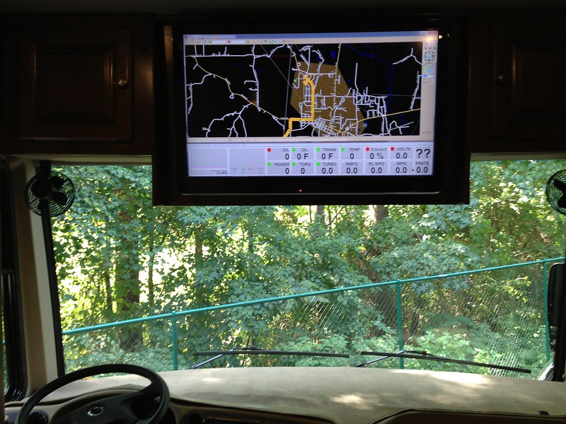
Delorme Street Atlas USA is Windows software. 2015 being the last published version. The OP is looking for replacement software for his laptop. I too would like to find windows based mapping software that is up to date. Much easier looking at a laptop screen on the dash of my MH, then looking at a small screen GPS or phone. And no data required. With my mouse on the dog house center console, I can zoom with out distraction.
Richard
Bill.Satellite wrote:
YOU CANNOT use a mouse and not take your eyes off the road. You MUST look at the screen and that requires taking your eyes off the road. The mouse is a GREAT option as long as the passenger is the one using it. While GPS units are great, they can all also be considered a distraction if you are looking at the screen. I nearly got in an accident when I was trying to locate a POI and the traffic ahead came to an unexpected stop. That GPS was located almost directly in front of me and I still missed the stopped traffic (thanks Janet!).
Bill.Satellite wrote:
Using a mouse would be quite a distraction if you are the driver! You can get a very nice Android tablet in the 8-10" range for much less than a similar sized GPS would cost and you will have full access to mapping programming plus the added benefit of 1000's more POI's. No cellular signal is required while traveling as you simply download the maps during your planning sessions. When you do have cellular (nearly all of the time) you will also have live traffic data along the way. I tracked usage from both Google Maps and WAZE and the total data on a 250 mile drive was something like 15-25 MB (basically nothing).