jefe_4x4
Apr 20, 2017Explorer
Death Valley XTC 2017
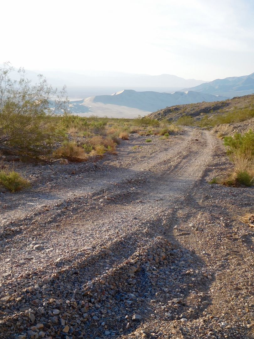
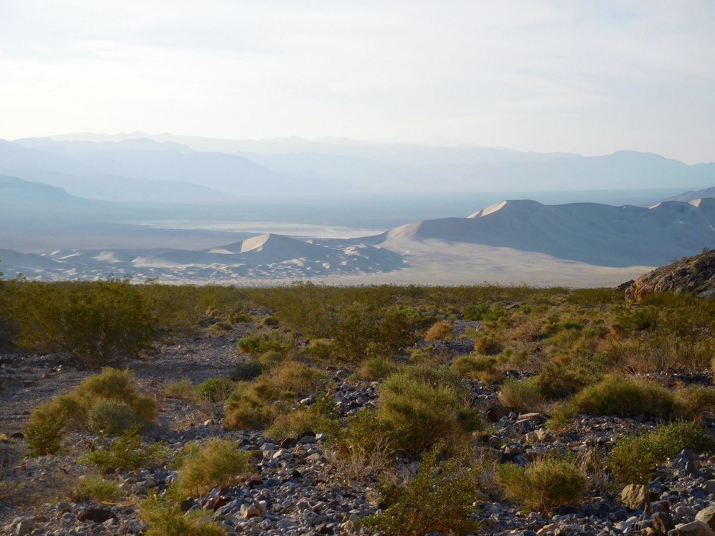
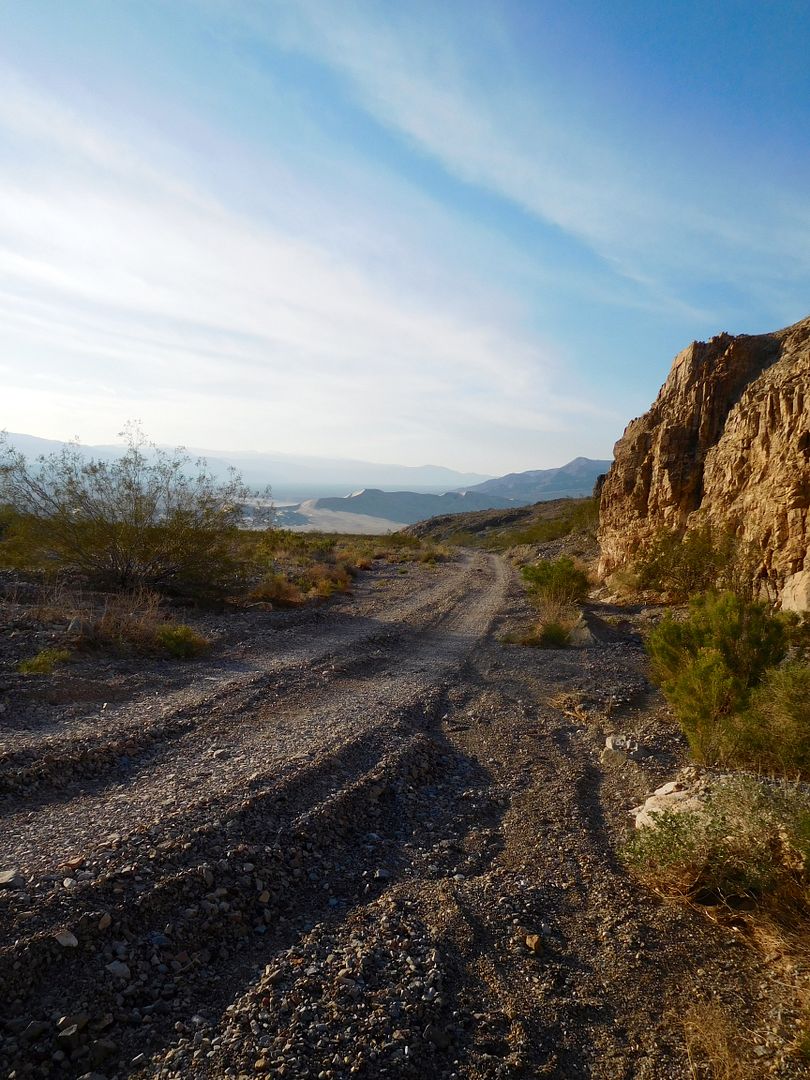
The road up from the Eureka Dunes to Steel Pass, Death Valley. At 700 feet the Dunes are the tallest in California. They also sport a quintet of sand beetles that are found only in this pile of sand; nowhere else on the planet.
There are many places in the western U.S. to get lost in sand and rock. We've come to the park many times in the past, and every trip has its particular flavor. Bro John and I are partial to the remotest places that our truck campers will take us. This trip started with an idea to explore the northern and least travelled area of Death Valley National Park. Anywhere in the northern end is a long way from anywhere, so I took an extra 10 gallons of fuel along.
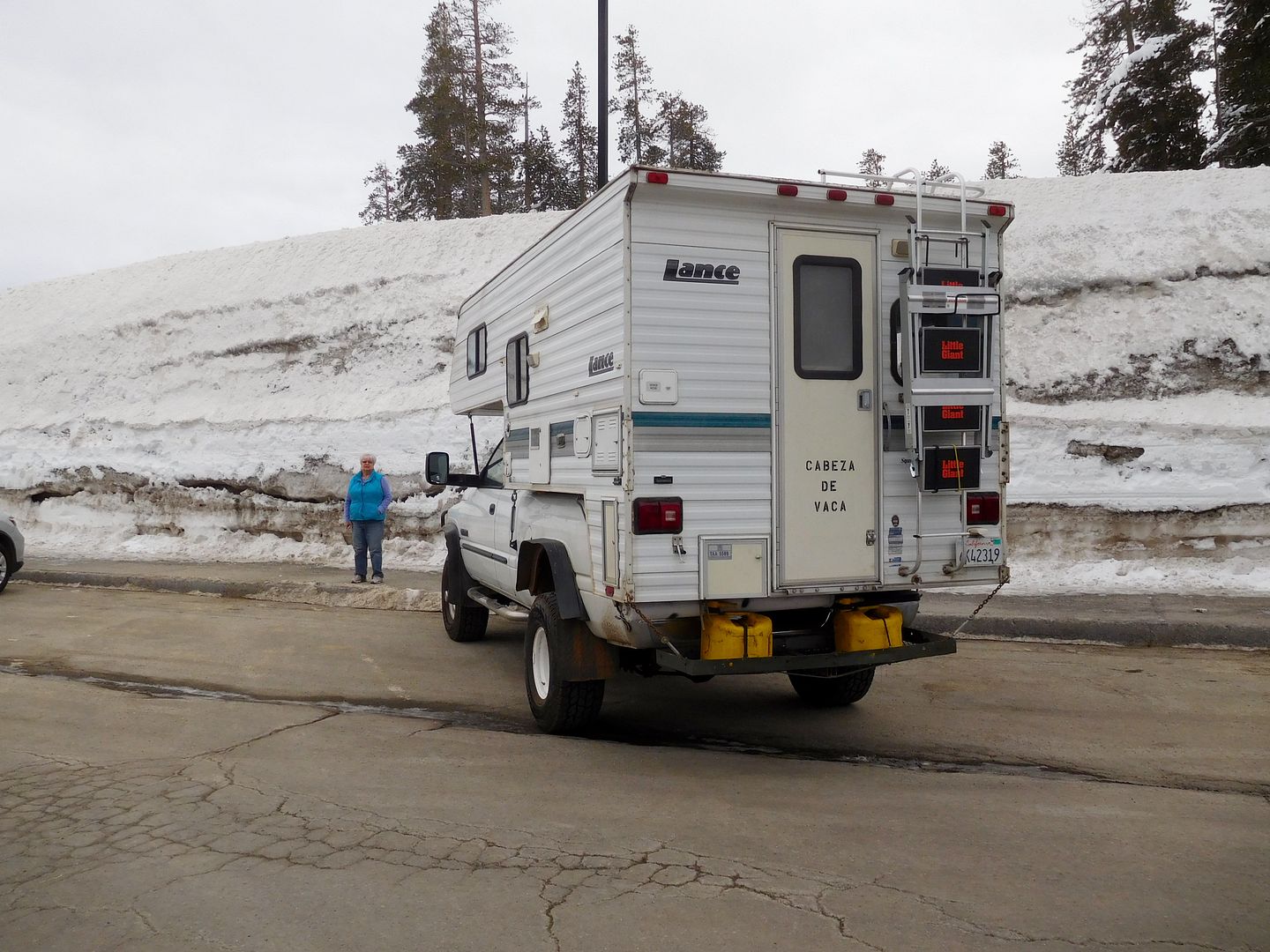
John and I started at different ends of the state to meet at Big Pine, CA in the Owens Valley to fuel up and head east up Hwy 168. For Jeanie and I, this required cresting Donner Summit (@ 7000 feet elev.). This precip year is now officially the wettest in California History, with over 100 inches at our rancho on the West Slope Northern Sierra Nevada. For evidence here is the snowpack at Donner Summit's Rest Area: note the yellow diesel cans.
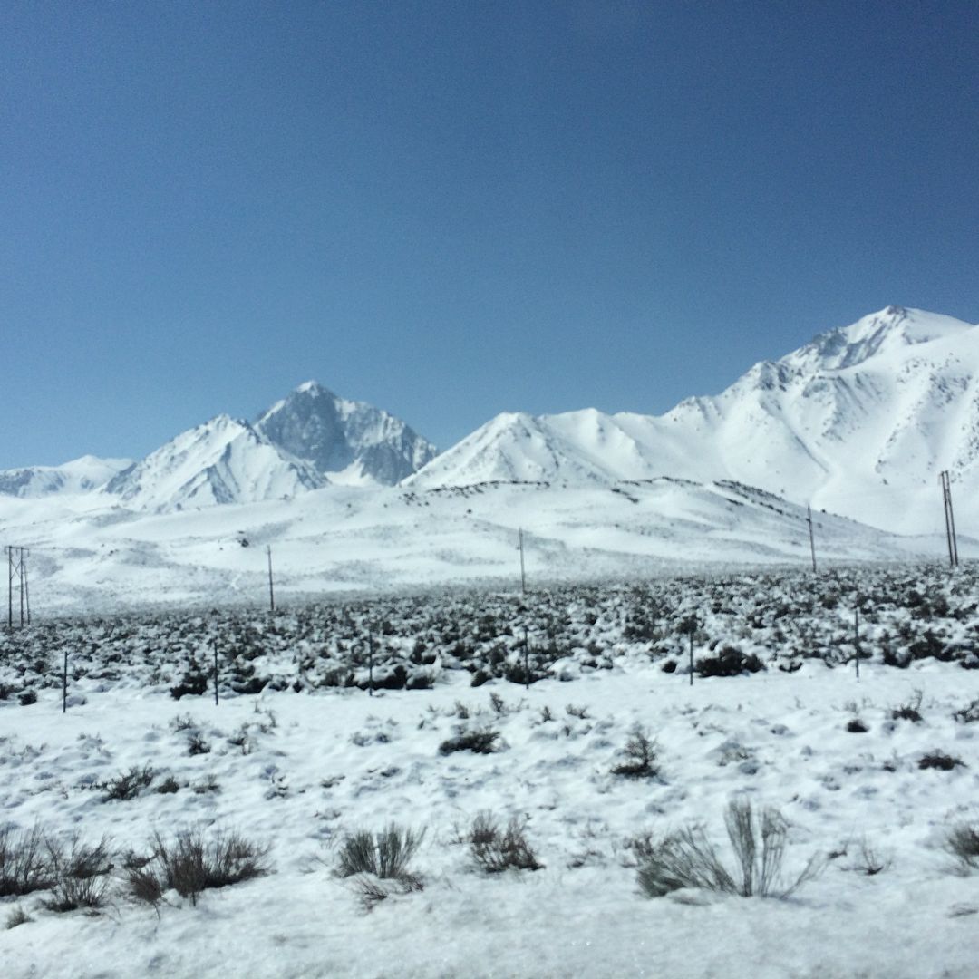
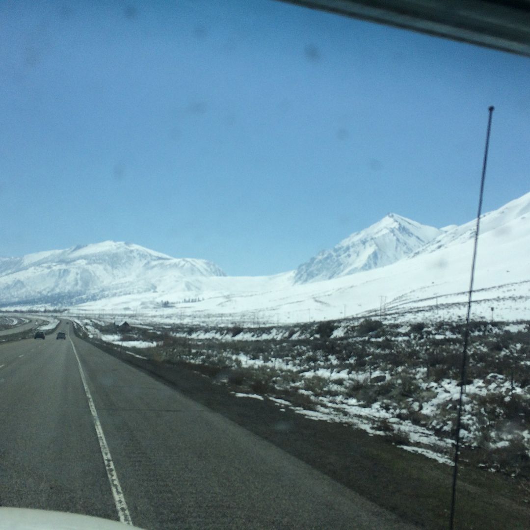
Further breath taking mountain views with low snow; not usual for the middle of April:
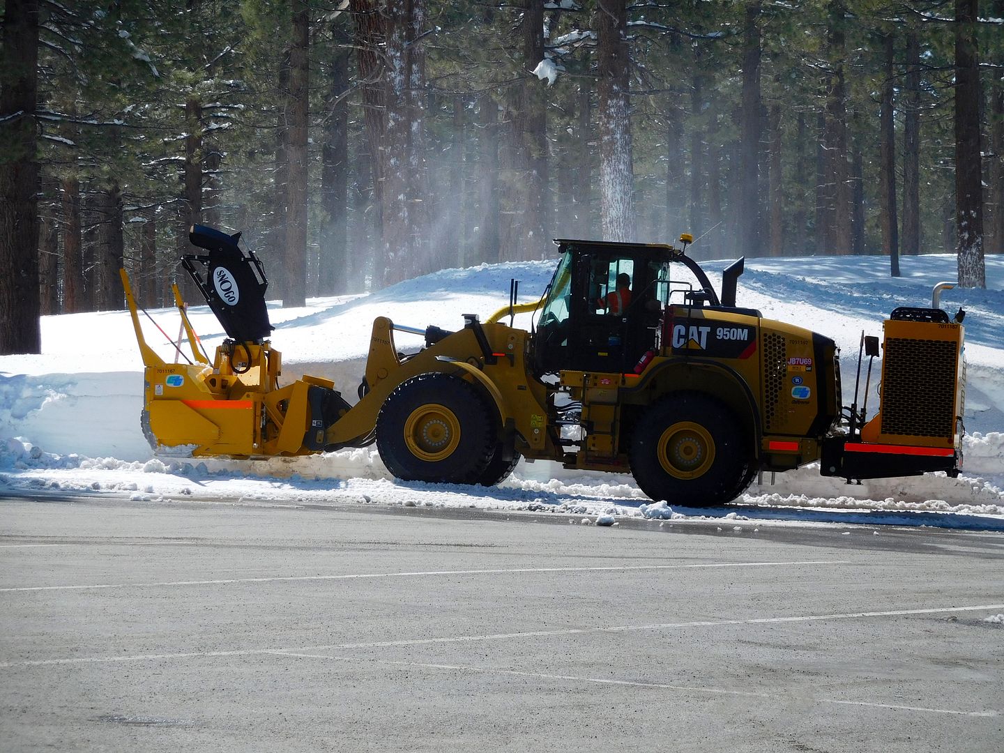
and a piece of equipment not associated with California clearing the Rest Stop parking lot:
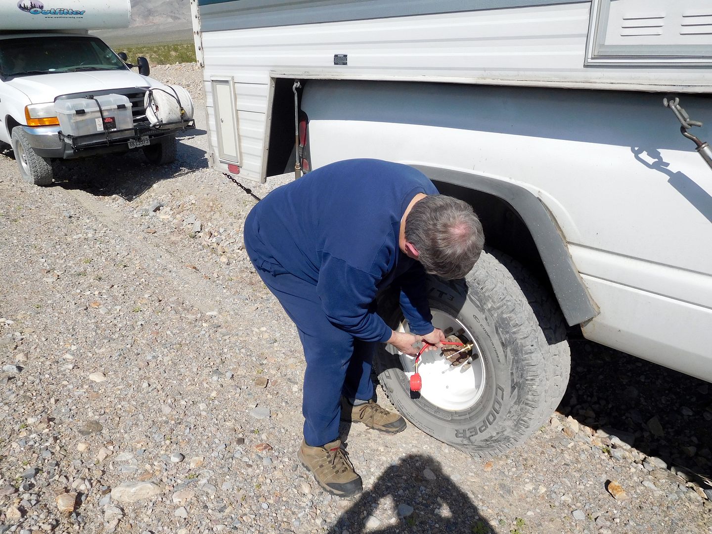
After a couple of hours of back road driving we turned south on the washboard of the Eureka Dunes dirt road, promptly pulling over to deflate the tires. We use the low pressure in the tires as part of the suspension system of the trucks. Bro dropped his 285/75R16's to 25 pounds and I dropped mine to 28 pounds. I'm using the ARB quick air deflator that unscrews the valve core to let the air out very quickly.
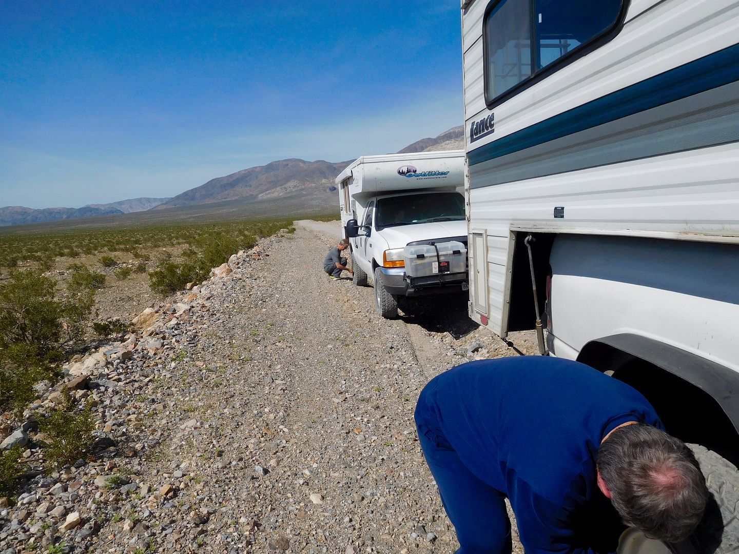
Now was the time to apply our skill at washboard roading. It's like a power boat. You apply throttle and the bow lifts precipitously until enough speed overcomes the resistance and the bow settles down. It's that no-man's-land in between we wanted to avoid. Bro John is an off road racer, having won several including the first 'King of the Hammers' race and knows the dicey value of speed over rough ground. I guess at this juncture, you could say we were in to TC RACING, as we spent about 100 miles of the graded gravel roads @ 40 to 60 mph. There was no in between: 5 mph or 40. The only thing that saved us was the low pressure of the tires. But you learn to drive on the wrong side of the 20 foot wide track, hunting for the least washboard surface. Usually, it's right against the edge where few tire tracks have trod. The only unintended consequence was the tremendous dust cloud that trailed the pair of 10K pound white elephants charging down the way. Any traffic, which was light, moved to the edge and stopped; wild eyed to see what was approaching. Eureka Dunes:
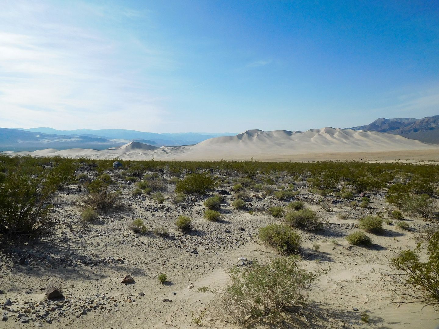
Eventually we reached the Dunes to be greeted by about 20 people in tiny SUV's with a dozen little tents set up in the primitive campsite. Many were entomologists on the dunes crawling around looking for the elusive quintet of beetles. Vehicles, of course are not allowed. Beyond the Dunes we followed the two track for our destination for the night: Steel Pass. It is a short way to get down to Saline Valley from the North, and one of our prime objectives.
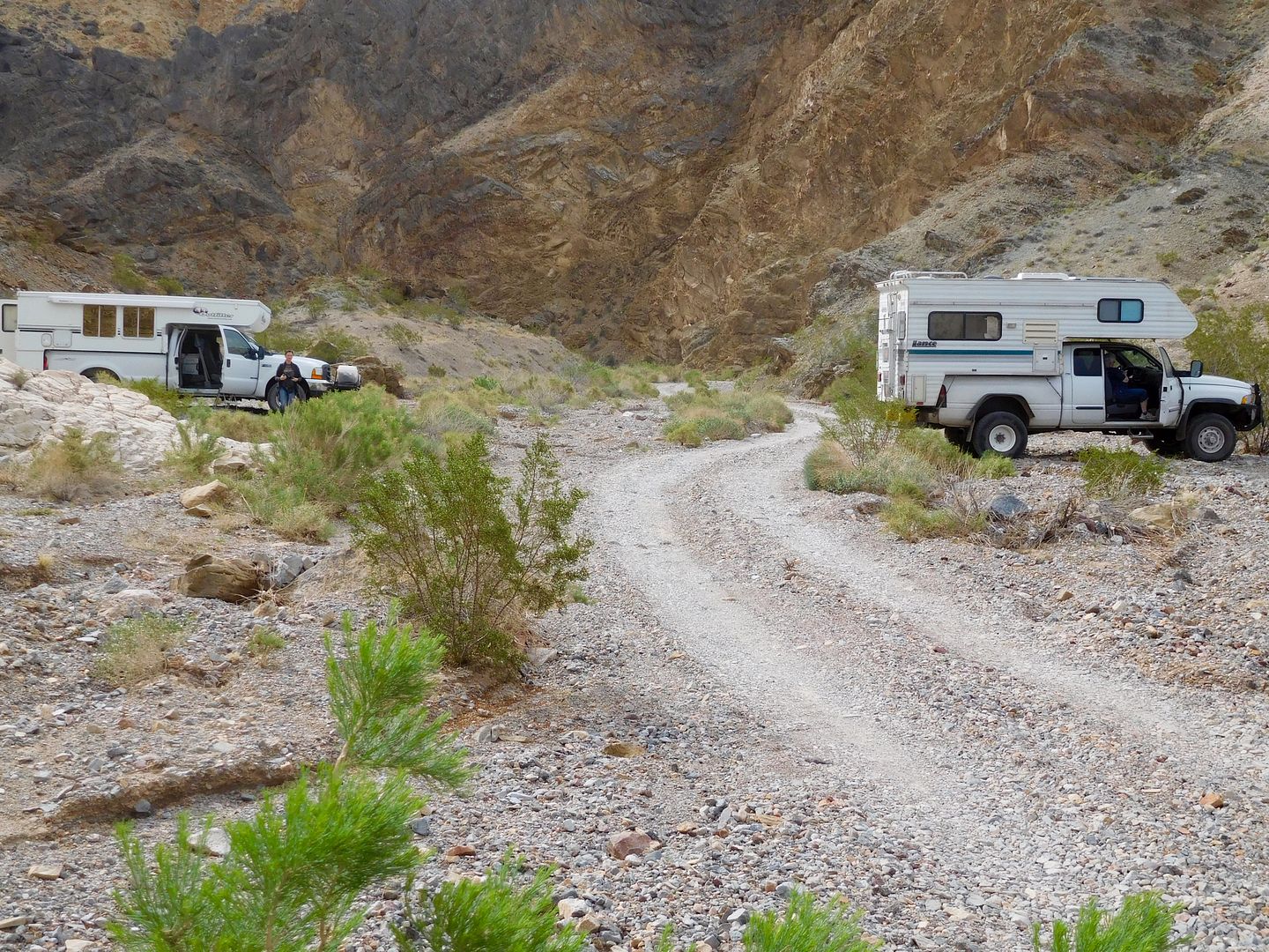
We stopped just short of the slot in the rocks and made camp:
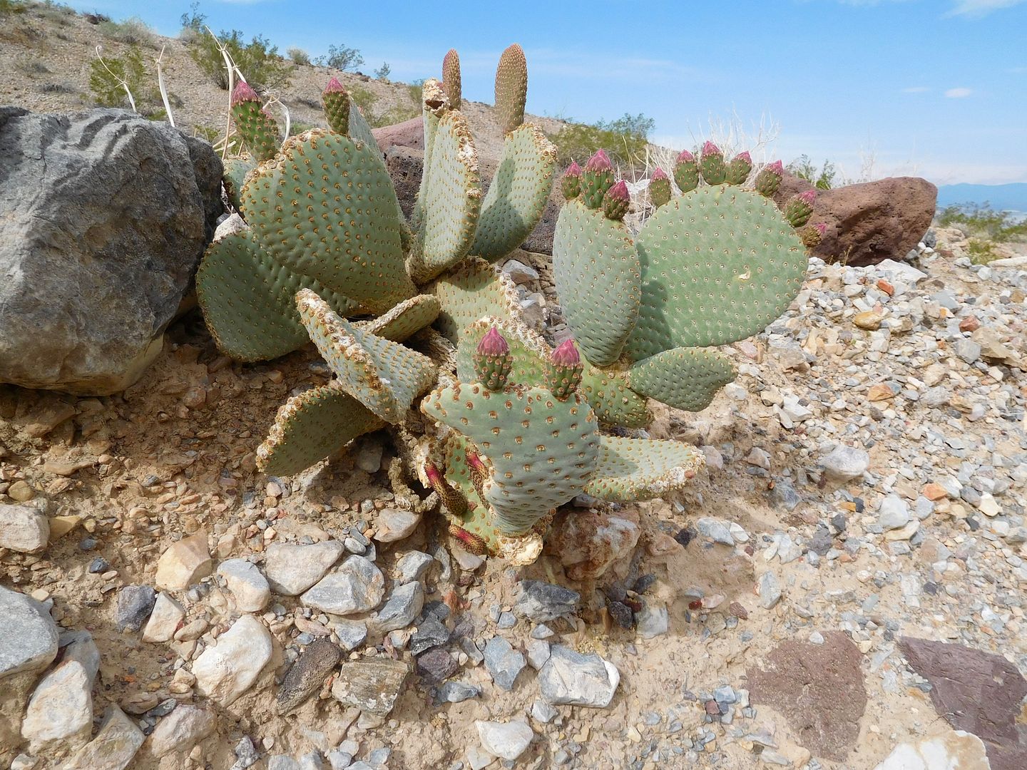
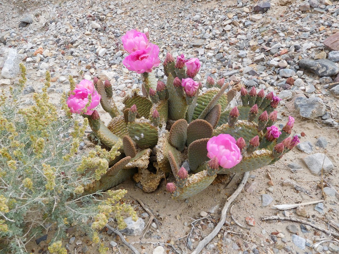
Some local paddle cactus just starting to bloom:
Next morning finds us out early to quickly power over the pass. Oh, yeah? Not so fast Mescal breath. The pass consisted of four small obstacles, easily done in our rigs.....except for the second one, 'the rock wall'.
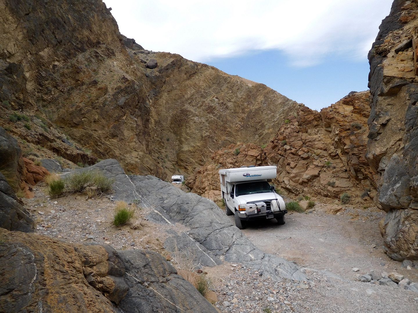
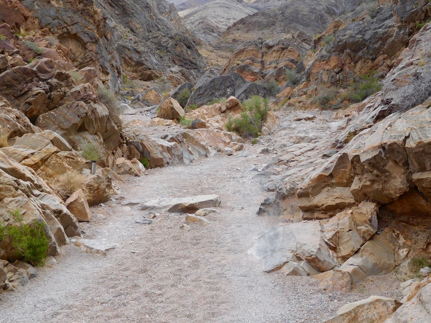
Up and front over just missing the rocker panels.
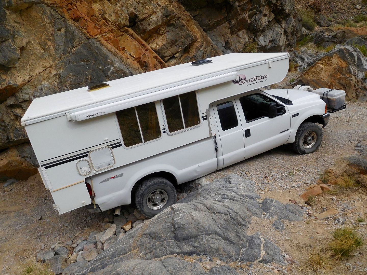
That's me under the driver's side stacking rocks to keep the OUTFITTER! away from a bad end:
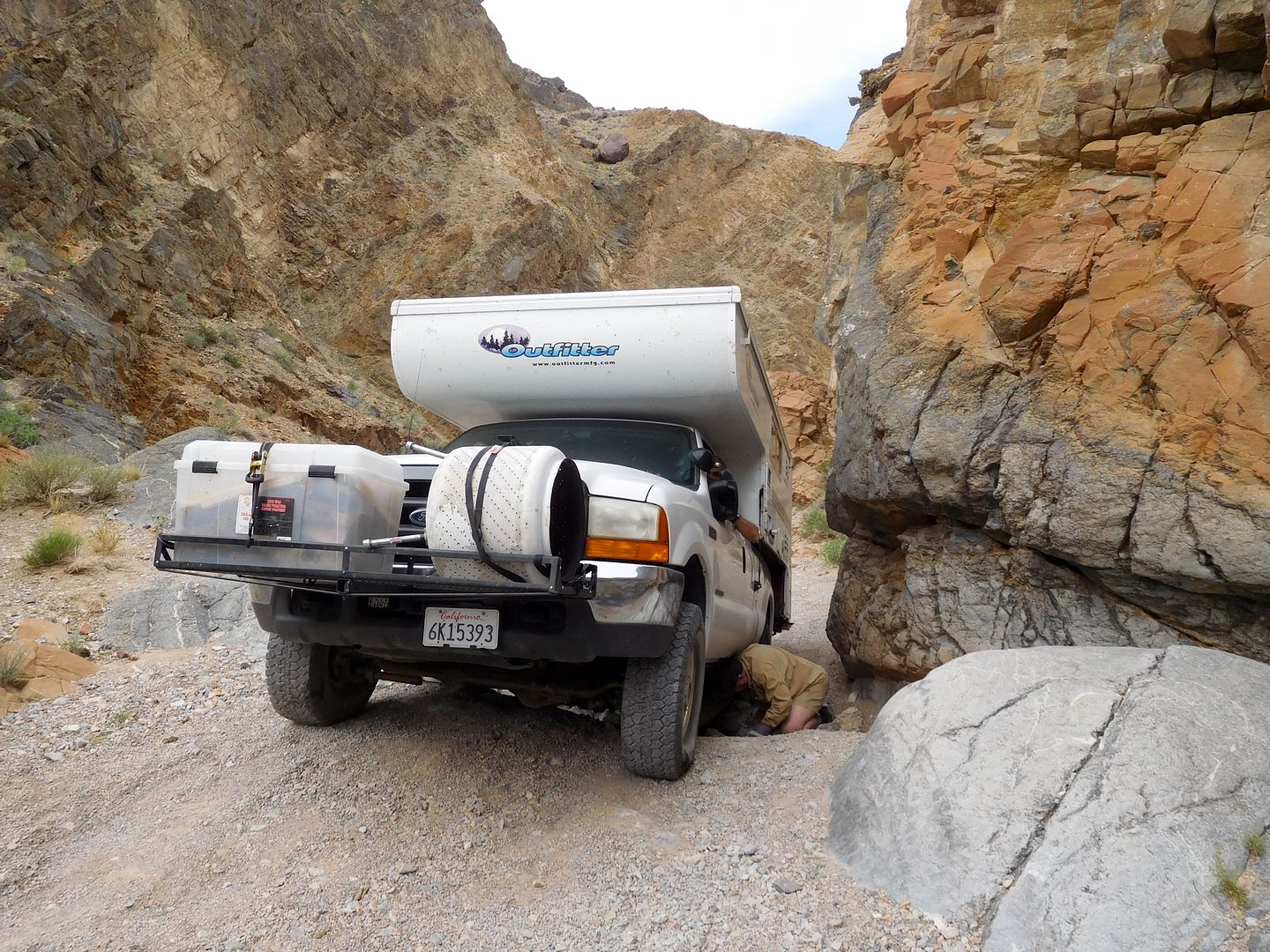
After backing out and trying another approach, he wound up here:
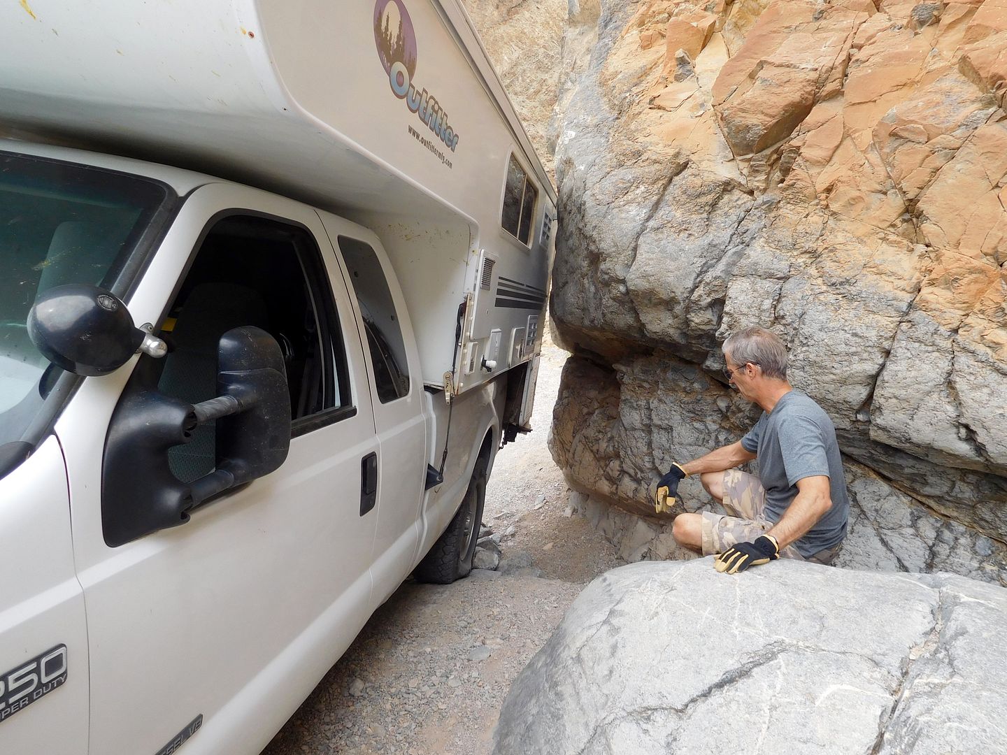
One slip of the rock pile and he moved to within 1/2 inch of the rock;
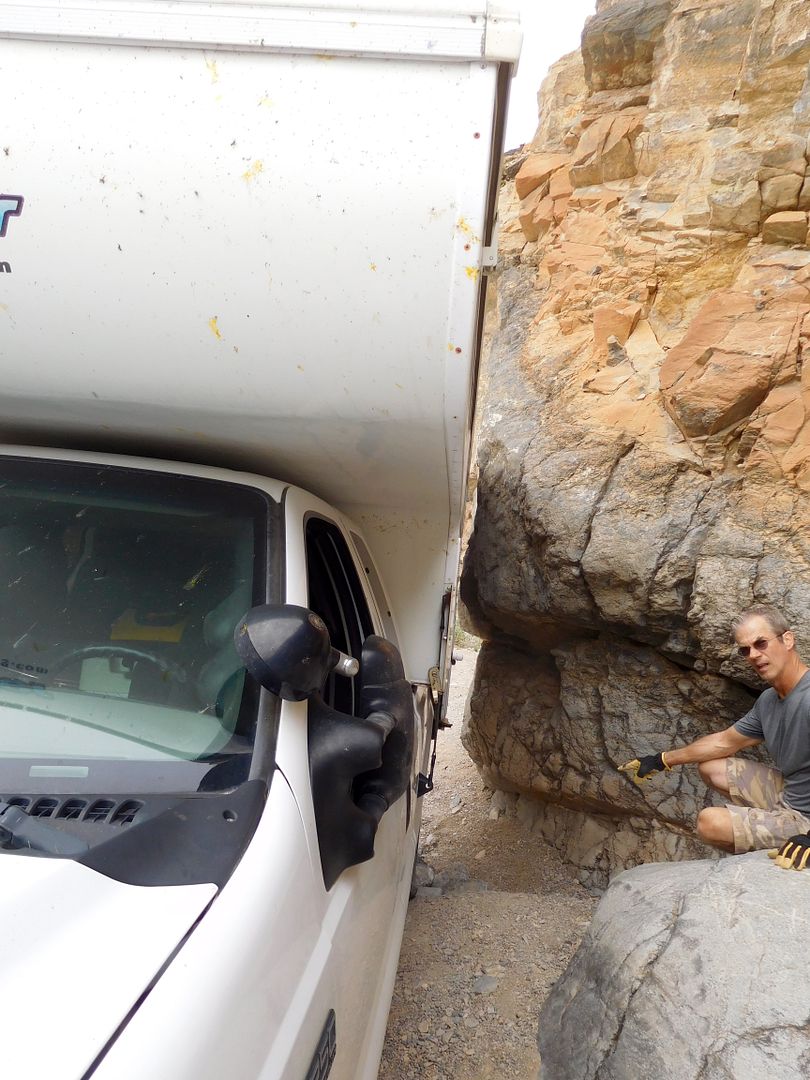
luckily, Bro has the skill to back off with no boo boos to the OUTFITTER! epidermis. That was it he made several see saws and was back down the trail the way we came. All doable, here's what lay ahead:
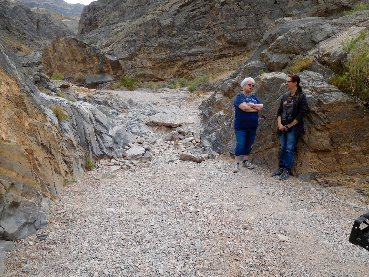
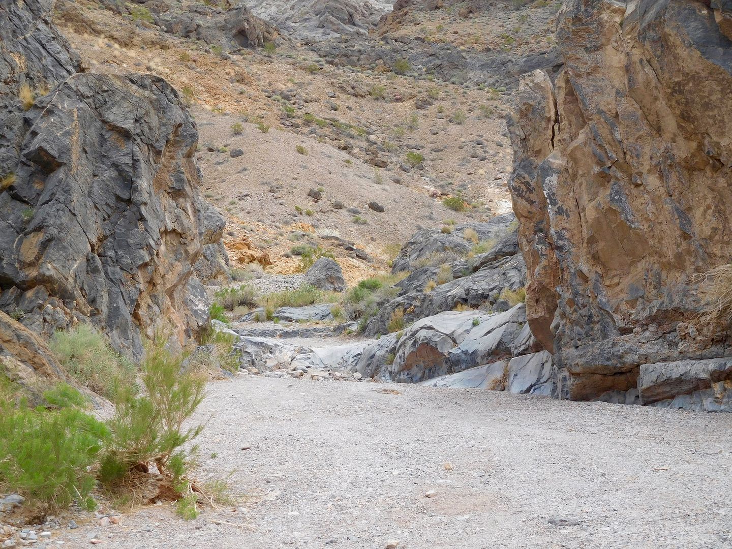
Things were looking up when we passed a patch of these:
The smoothest ride was on blowsand:
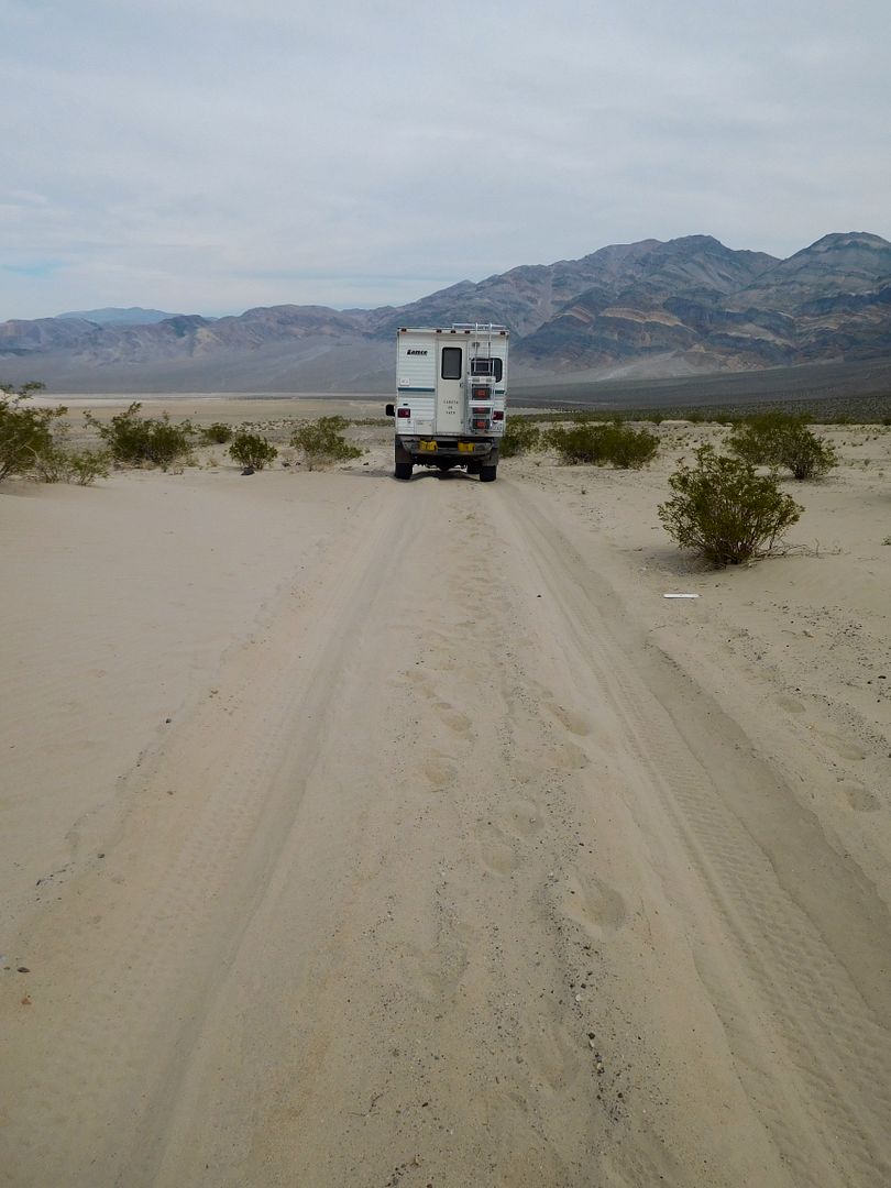
Once out of the Eureka Dunes area it was endless washboard, especially on the Racetrack road. We all agreed never to take that road again. Turning south again at Tea Kettle Jct. we finally got to a nice valley with many old mines to explore.
typical road near Lost Burro Mine
We camped right at the Lost Burro Mine diggings, which had several level places, presumably that housed house trailers for the workers in the 1940's. This was a very high producing gold mine, a rarity in Death Valley:
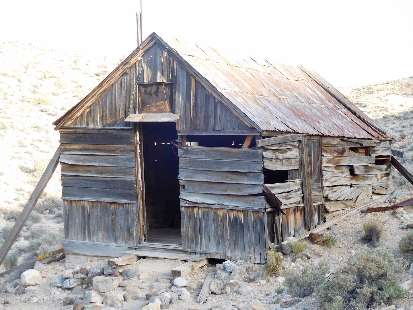
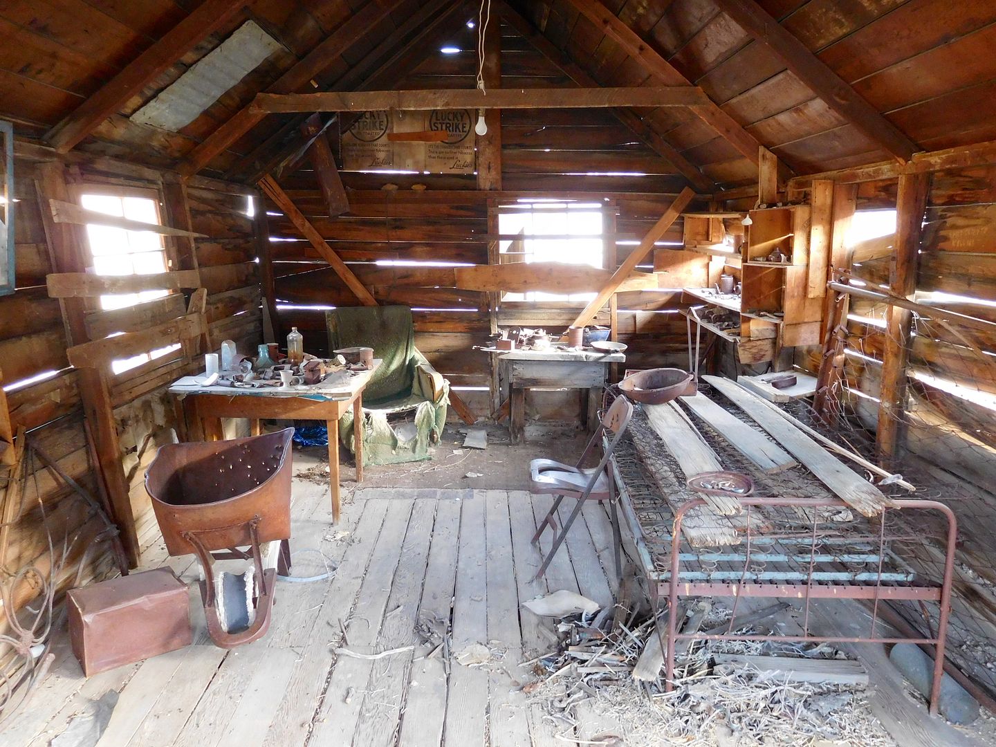
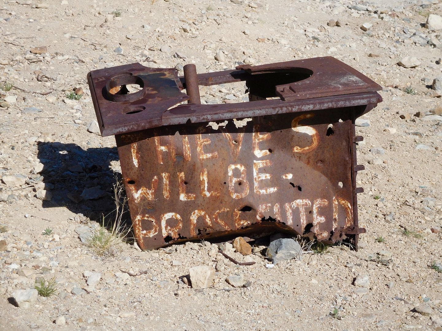
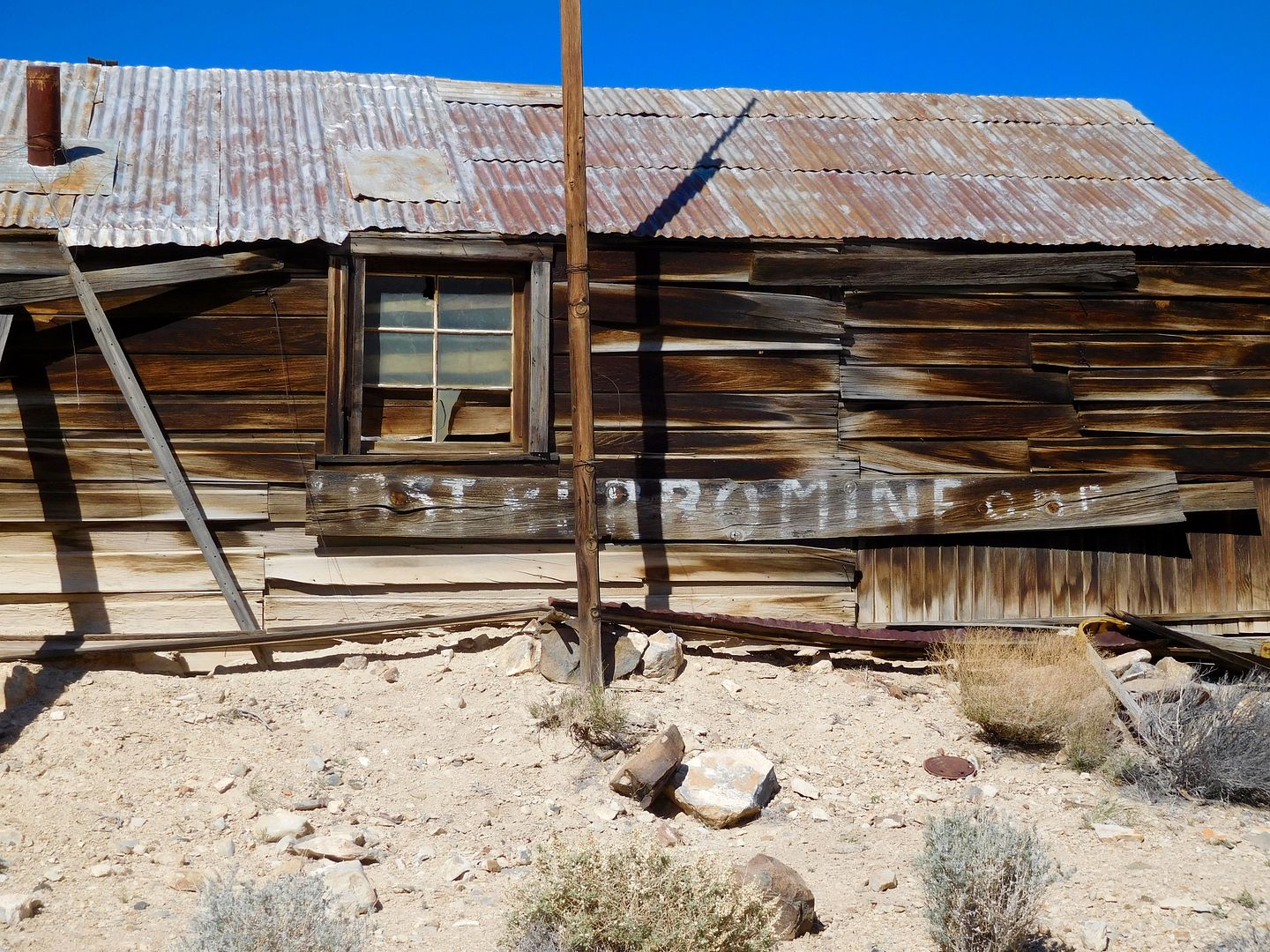
Most of the mine equipment was moved elsewhere once the vein began to fail.
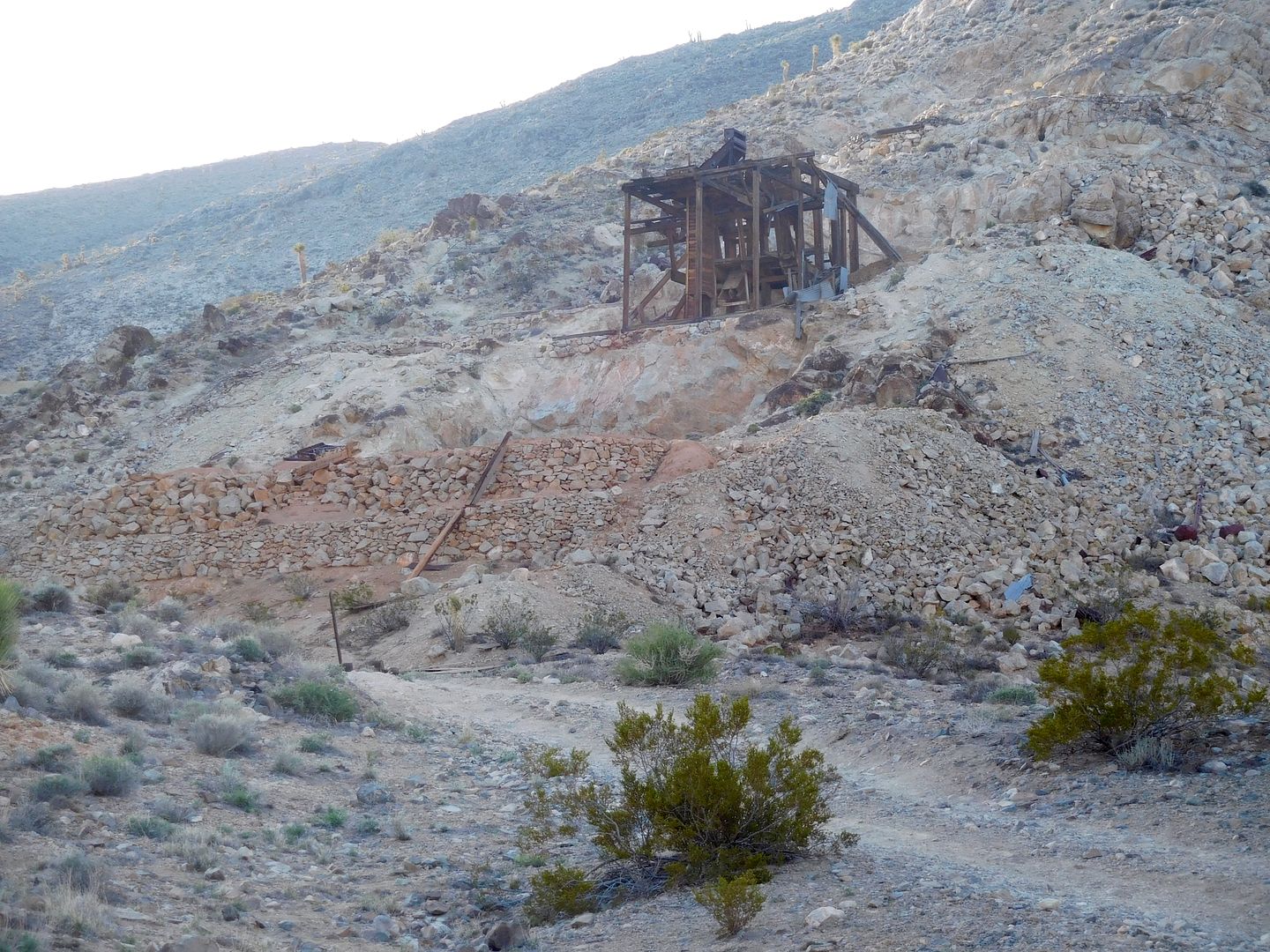
I've got to make this shorter, as BKA does not have a lot of bandwidth for these pix.
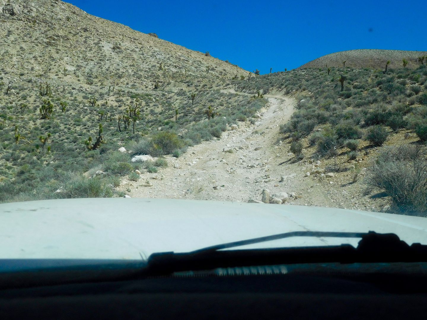
After taking several remote mine excursions, we happened on a talc mine high up in the hills. This was THE steepest rocky trail I've ever been on in the TC. You needed to keep some momentum up in 2nd gear, low range 4WD, but not too much to over come the tractive effort of your tires. Luckily my True Tracs, front and rear allowed a full traction ascent with not a spin of a tire. This pic taken half way up does not do justice to the exteme grade. My honest assessment is that it was about a 30 per cent grade. I had some concern about leaving the camper in the middle of the trail.
The way out was just that: way out. Maybe the most primitive and remote road I've been on.
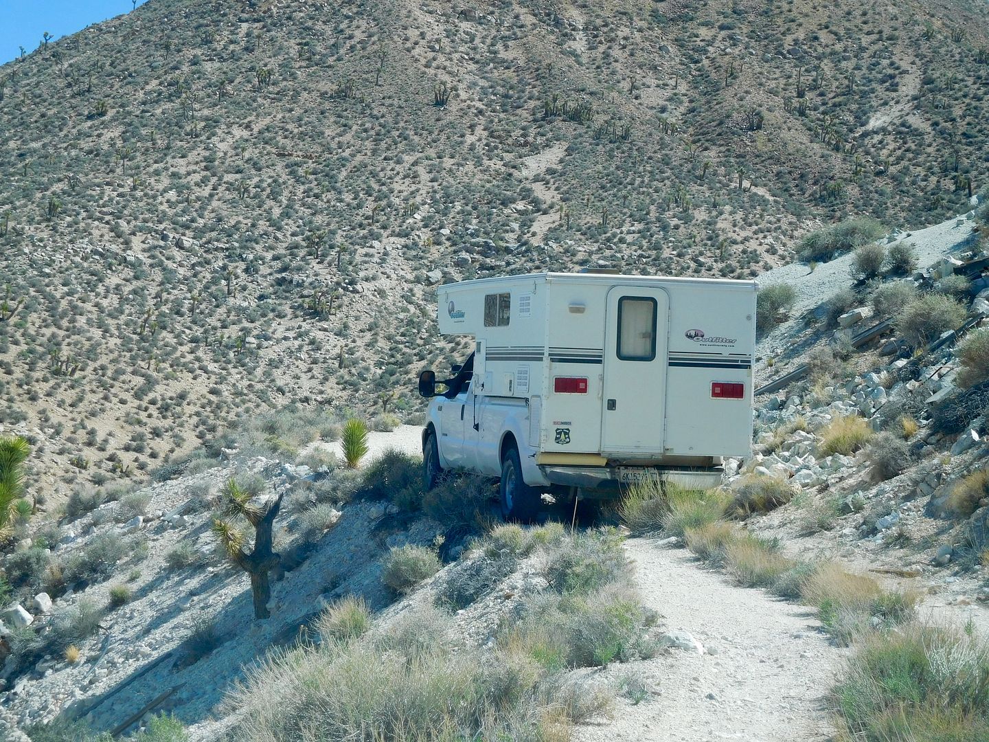
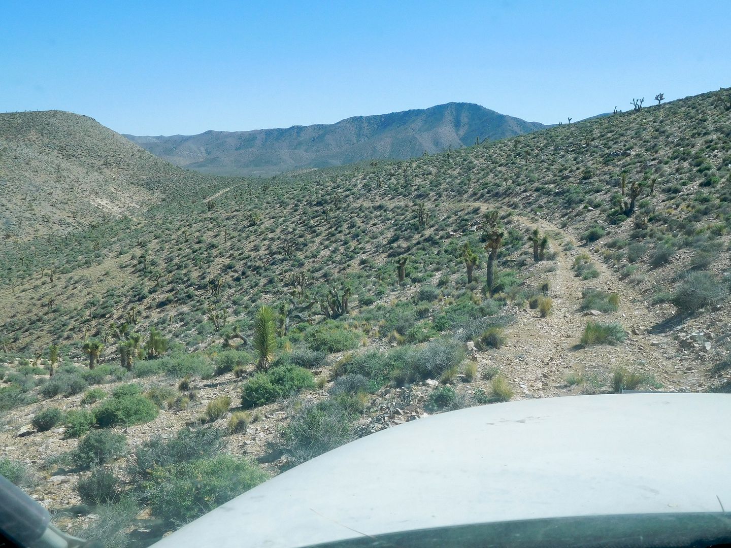
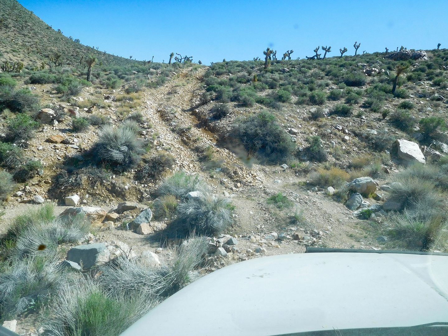
Eventually, we arrived at yet another Talc mine for the night.
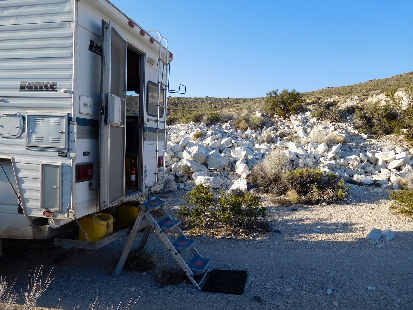
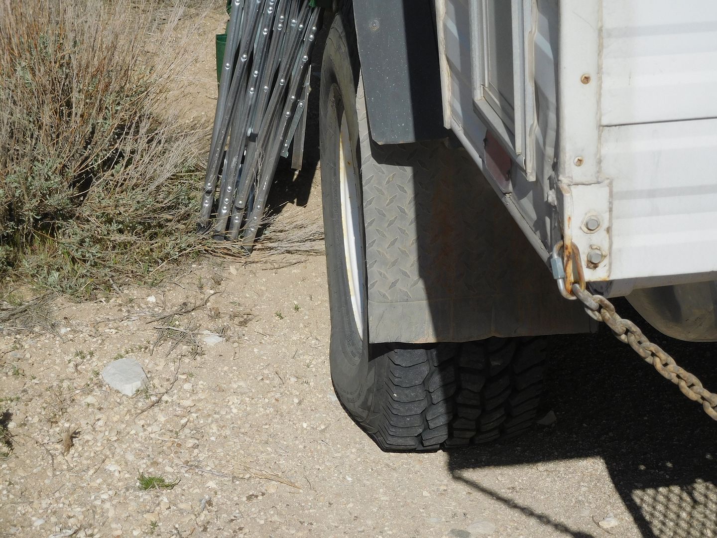
Here is what the sidewall deflection of a 28 pound pressure, 35 inch tire on a 10 inch wide rim looks like in the A.M.:
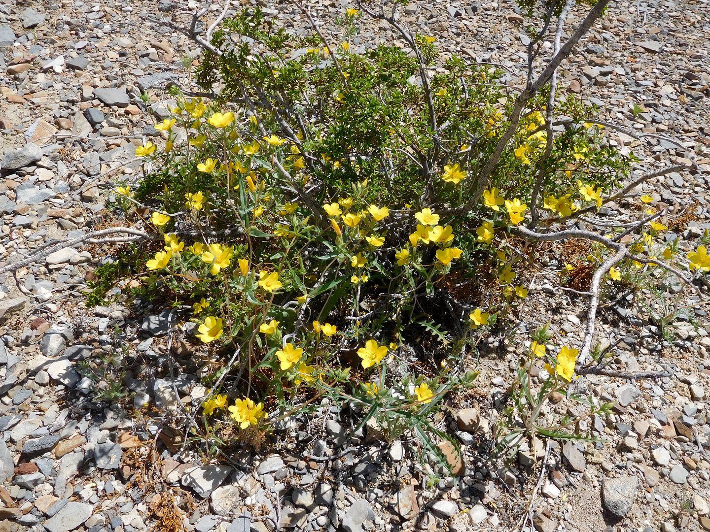
There were a smattering of wild flowers, mostly tied to elevation as to their bloom state:
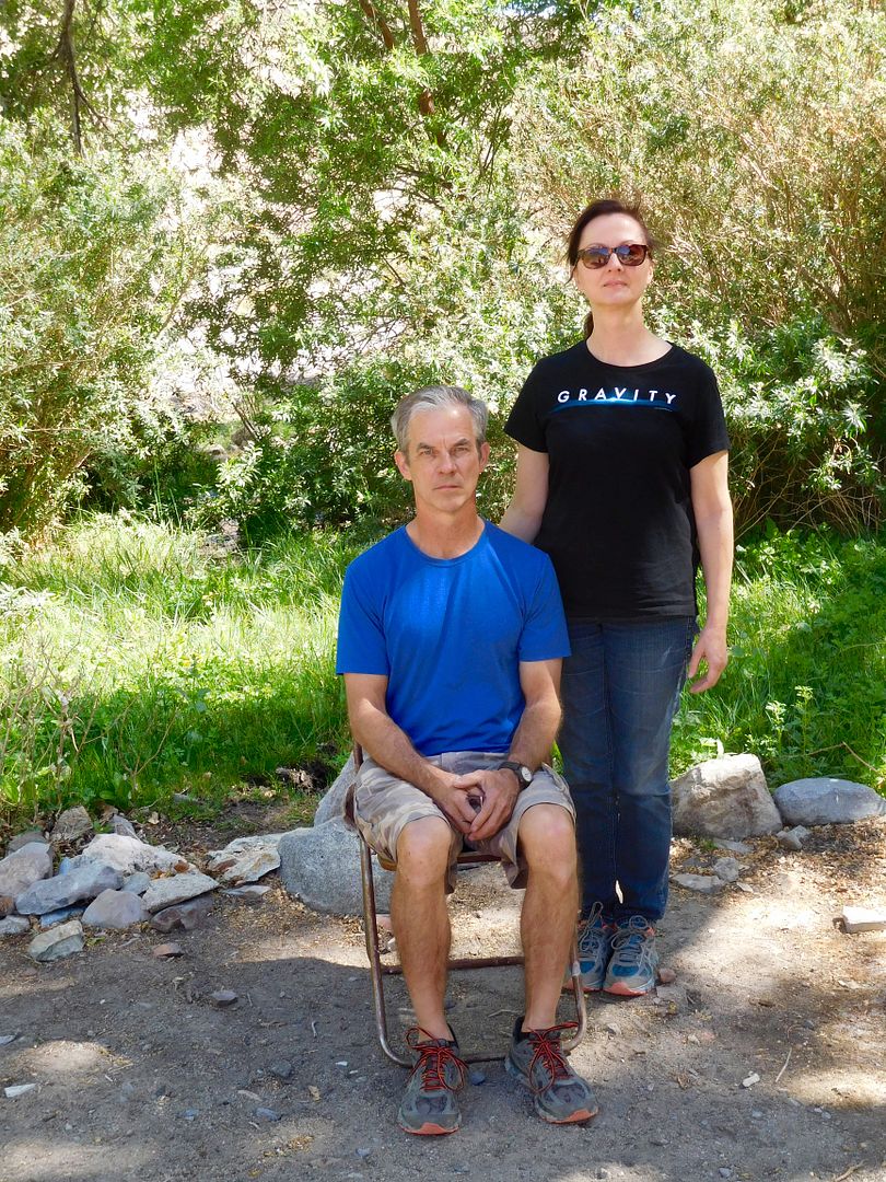
John and Krys in a Death Valley Gothic at China Gardens Spring:
Three years ago we tried to take the Trona Wildrose Road to Wildrose campground. A sign at that time said Road Closed. You could see some wash in and wash out over the pavement. Three years later we're back. I got on the D.V. facebook page to inquire as to the efficacy of travel over said road. The person responding said it was still closed on account of 'debris over the roadway'. This time we approached it from the Wildrose side and found the gate open. So, we went for it. This is what we found:
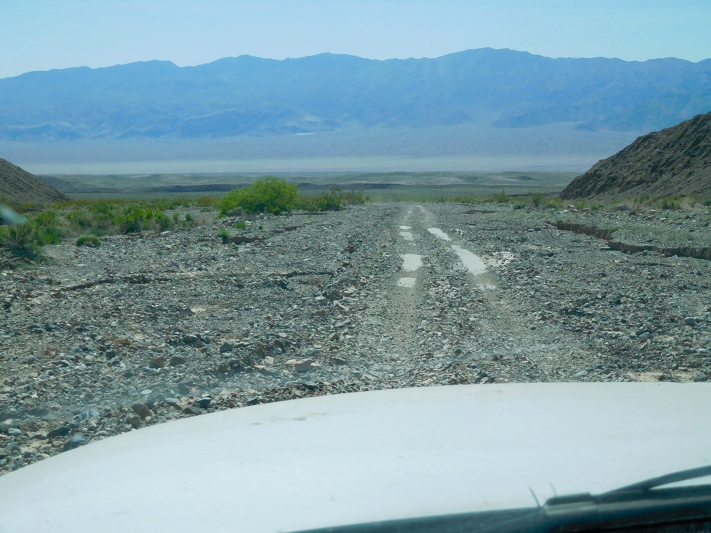
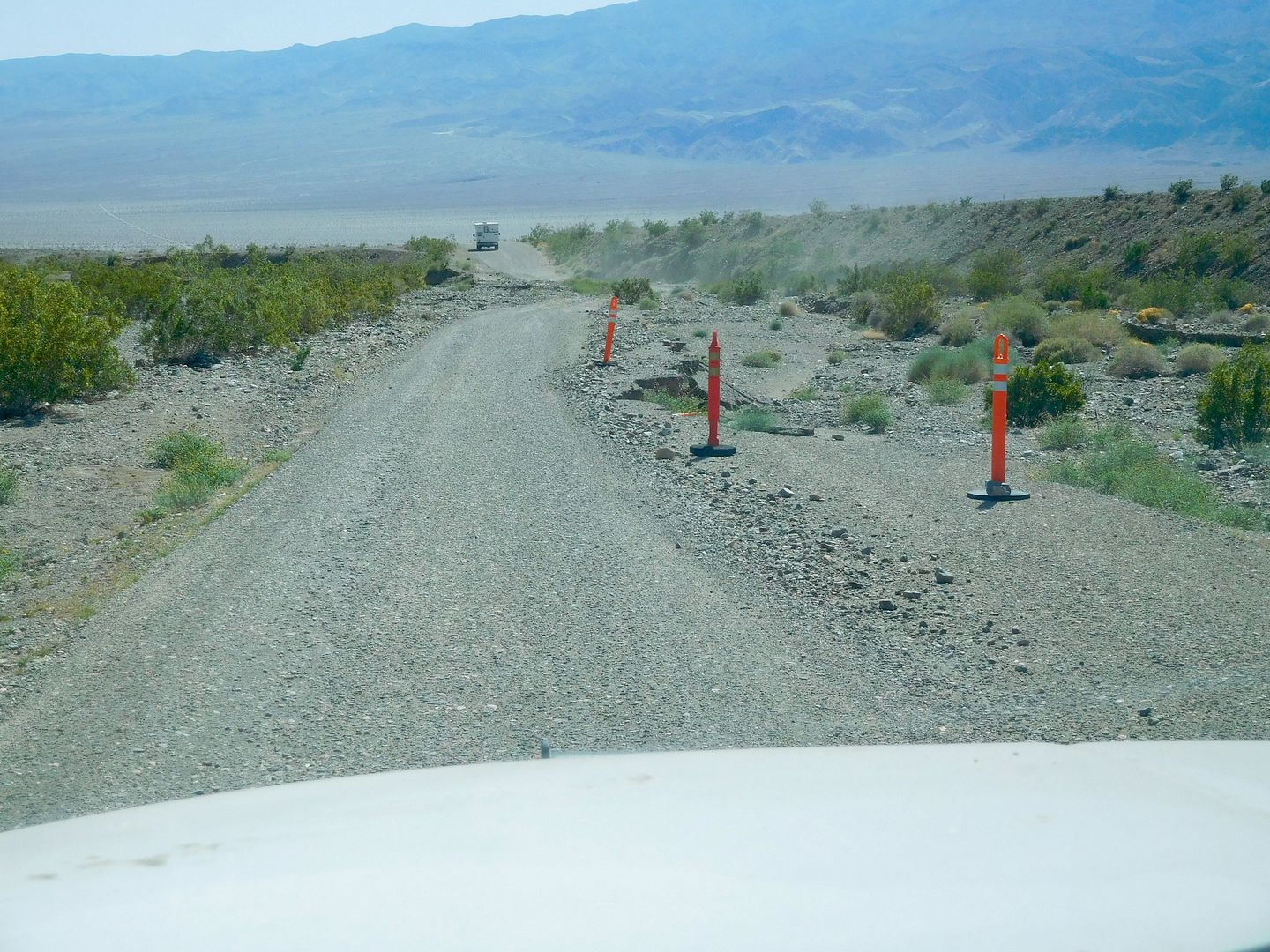
Not a problem at all. But, I can see how the N.P. Service would want to limit their liability in not having their 10 foot wide roadway up to snuff.
Now, at last here is our last campsite: a gravel bar at the foot of Jail Canyon.
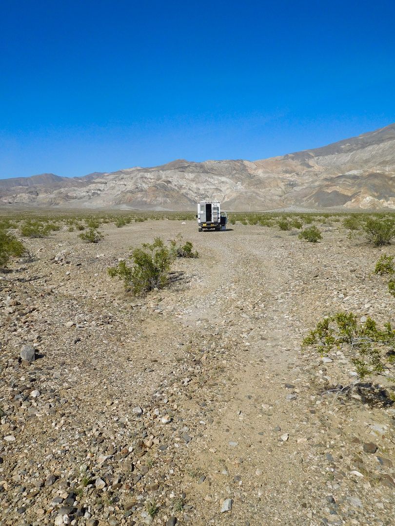
S curves on the way down from Augerberry Point.
It was a great trip. Maybe a one-off in my lifetime. John made home made from scratch Margaritas every night for a wrap up. Thanks for reading. jefe
If you haven't had enough, I took 88 pix this trip and several short vids and they can be viewed on my photobucket site here:
http://s194.photobucket.com/user/jefe4x4/library/DV%20TC%202017?sort=2&page=1
