Mello_Mike
Jun 27, 2015Explorer
TR: Lake Powell and The Smoky Mountain Trail
Three weeks ago, we returned from our three-week getaway in the truck and camper. If you've been following along, you know our first stop was in Sedona followed by the 2015 Overland Expo at Mormon Lake. After the Expo, we stayed at the Ft. Tuthill Military Campground in Flagstaff for a couple days where we did some laundry, dumped our holding tanks, filled up the fresh water tank, and took some time to repair a leaky toilet. After that, we were off to the Grand Staircase-Escalante National Monument (GSENM) and the Glen Canyon Recreation Area to explore the Smoky Mountain Road and other locations.
First, we decided to boondock overnight at a sweet location in the Grand Staircase that a good friend, Bryan Appleby (bka0412), told us about last year. Anyhow, after a restful night sleep at this prime location, we got up early to start exploring the Smoky Mountain Trail. The Smoky Mountain Trail actually traverses through both the Glen Canyon Rec Area and in the GSENM. In Glen Canyon, the trail is designated Road-230 and begins in the small town of Big Water, UT. To find the road look for Ethan Allen Road off of the US-89 and turn north, the Smoky Mountain Trail splits off from it. The first five miles of the drive are paved and after passing through a huge wash the road rises and turns into a well-graded dirt surface. This first part of the drive is called the Moon and if you saw it you would know why. Here the rock formations are smooth and dark gray and are largely barren of any color or vegetation. Still, the eerie landscape is beautiful in its own right and isn't something you see everyday. Apparently, several movies were filmed in this area, including “Planet of the Apes.”
About 13 miles up the Rocky Mountain Trail we came to Road-231 which leads to Warm Creek Bay. We knew nothing about this access point to Lake Powell, so we decided to explore it then have lunch. This turned out to be one of the best decisions we made during the entire trip because Road-231 passes through Crosby Canyon, a spectacular, multicolored slot canyon. This happened to be our first visit to Lake Powell and it didn't disappoint. We arrived at Warm Creek Bay on a Wednesday and apparently that was a good thing because we had the entire bay to ourselves. Because of this and because the setting was so beautiful, we decided to boondock and stay for the night. While setting up camp, we noticed that the catfish were jumping, so after resting and having a good meal, I decided to break out the fishing pole and tackle to see if I could catch one. It didn't take long.

Boondocking in the Grand Staircase the day before tackling the Smoky Mountain Road
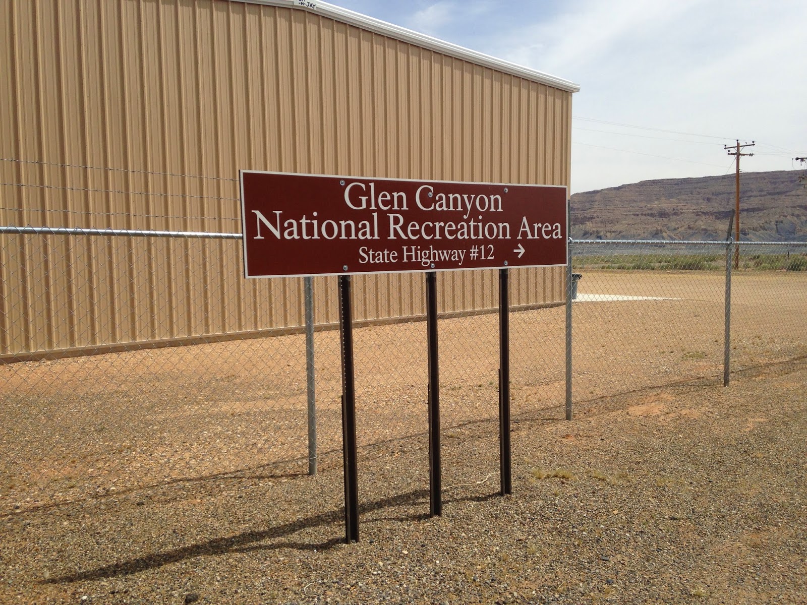
This sign in Big Water, UT marks the beginning of the Smoky Mountain Trail.

Passing large boulders near Big Water, UT.
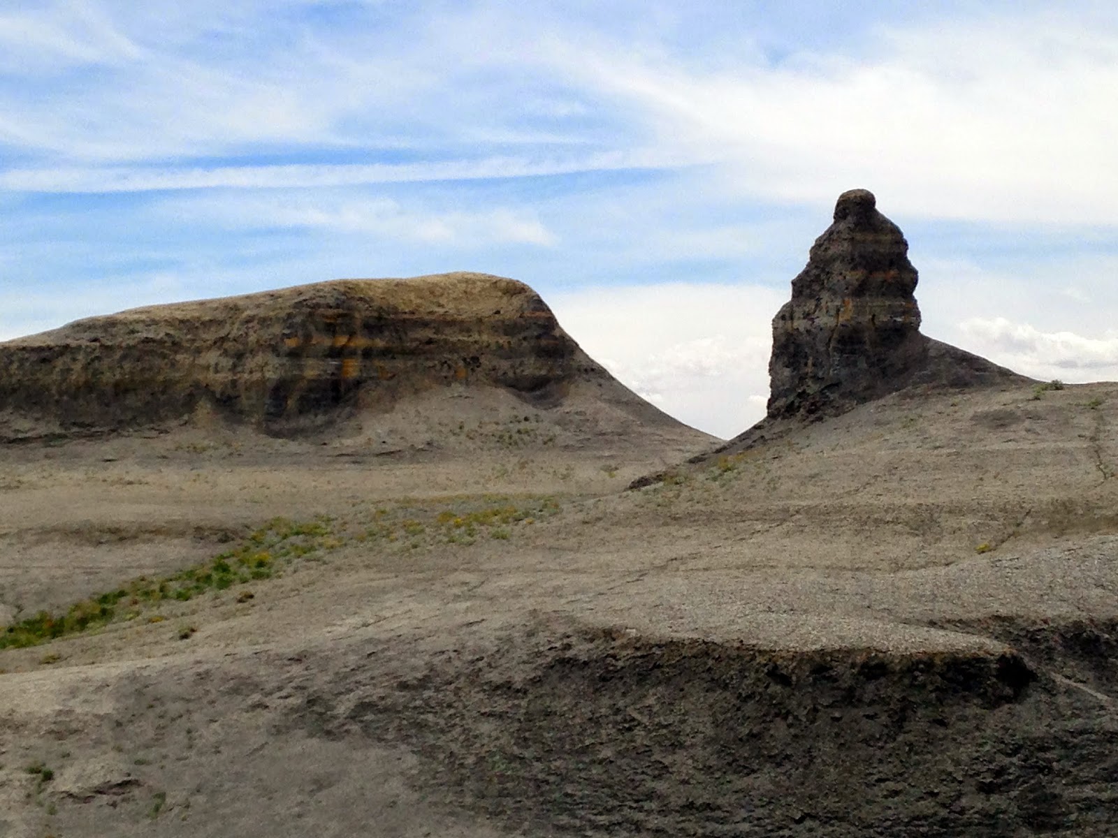
Moon landscape to the south of the Smokey Mountain Trail.
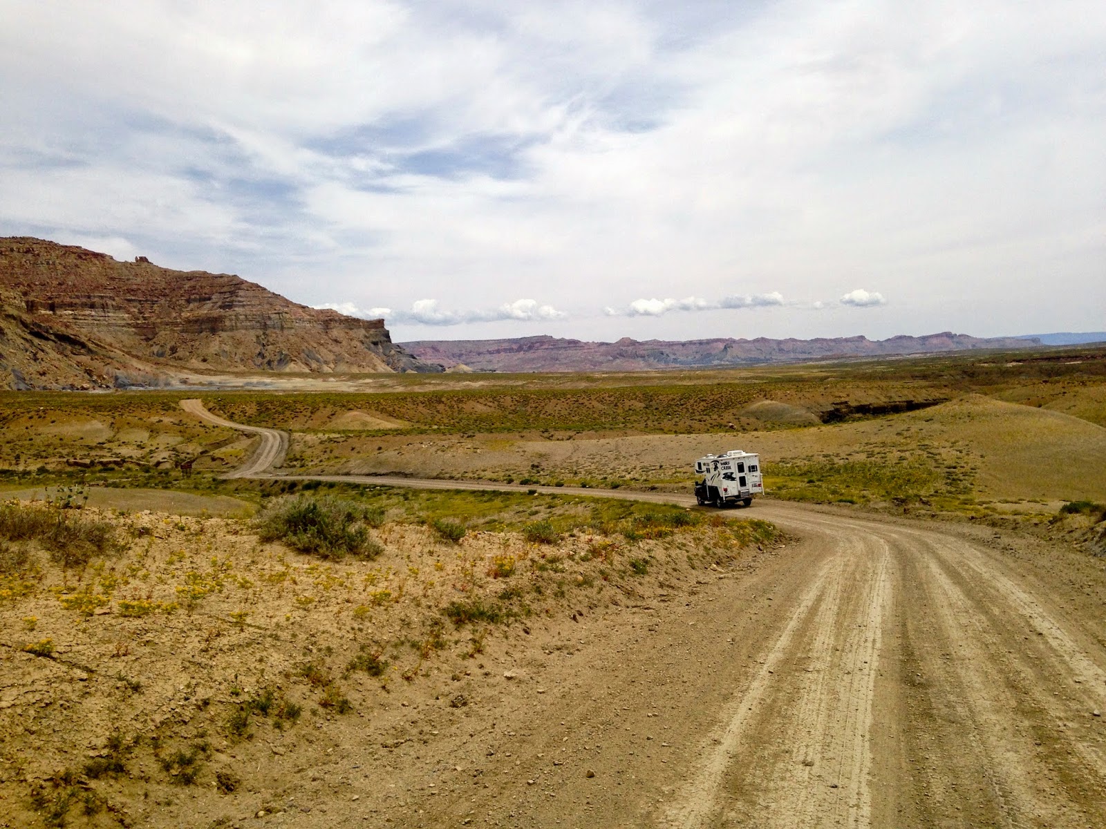
Approaching the Warm Creek Bay turnoff.

The Crosby Canyon got very narrow here with a large overhang (note the shadows).

Our first view of Warm Creek Bay.
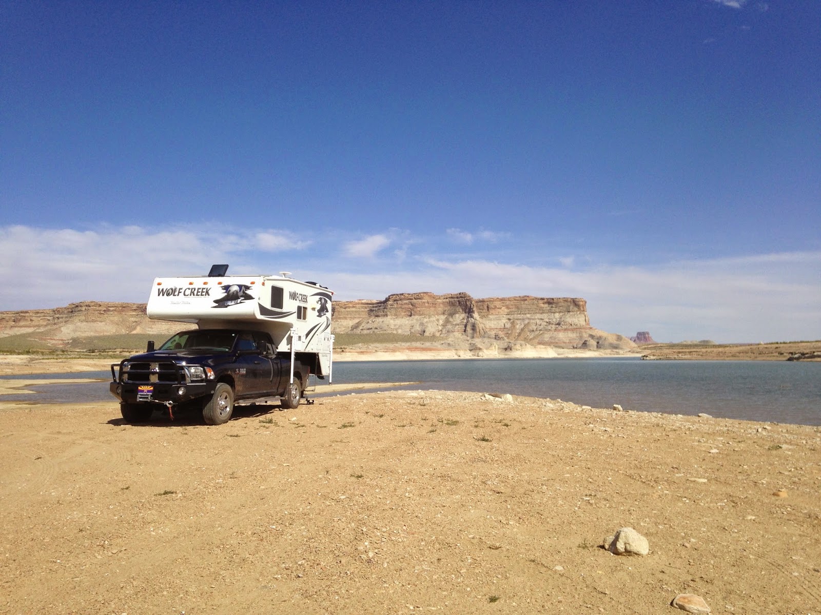
Our boondocking location on Warm Creek Bay.
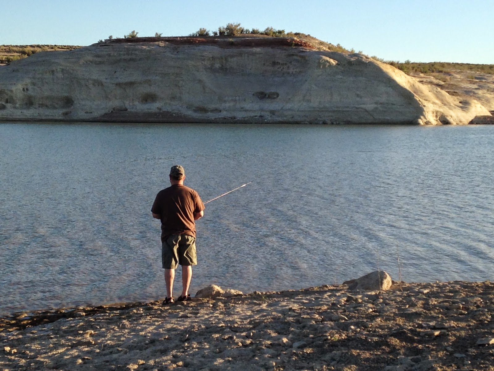
Hoping to land the "big one."
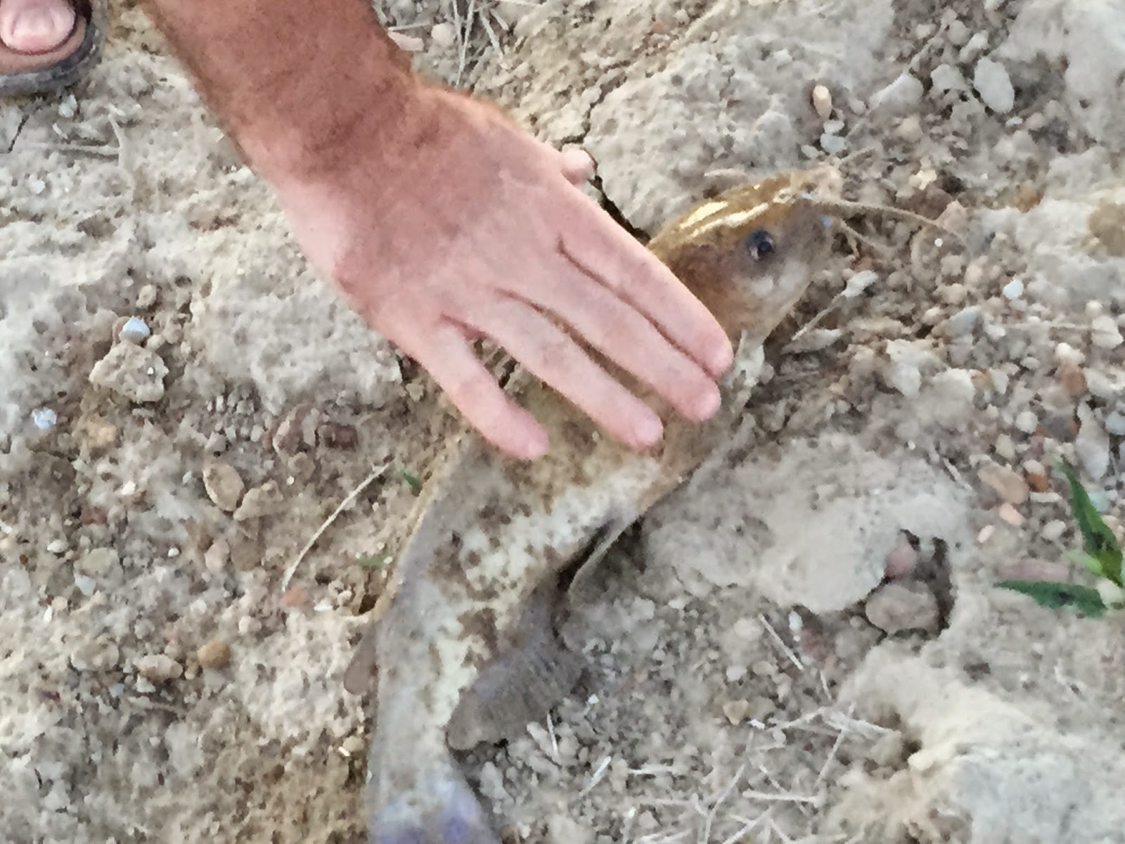
Twenty minutes later, I got one.

The wife took this spectacular shot at dusk from our back door.
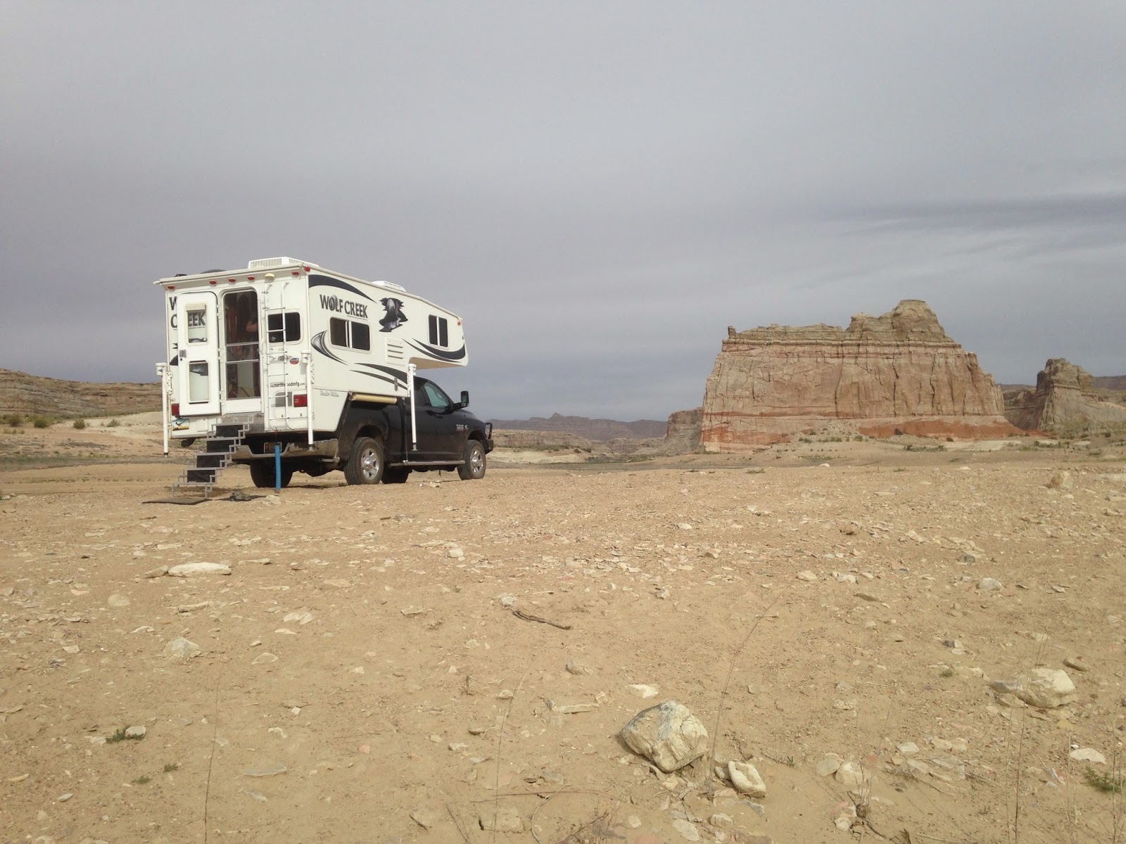
With overcast skies the next morning we decided to break camp.
After a peaceful and wonderful overnight stay at Warm Creek Bay, we awoke the next morning to thick cloud cover. Rain was in the forecast the following day, so rather than stay another day, we had no choice but to take in the rest of the Smoky Mountain Trail before nightfall. This trail, like all of the other unpaved scenic backways in the Grand Staircase, become impassible when wet due to the dirt and bentonite clay surface. Indeed, even 4x4 vehicles often get stuck in the thick and gooey muck, and with my recent experience at Mormon Lake for the 2015 Overland Expo, I didn't want a repeat experience, so we had to break camp and hit the road before the rains hit.
Designated BLM Road 300 in the GSENM, we found the Smoky Mountain Trail sometimes thrilling, often rough, but always beautiful. About 78-miles-long, it's the toughest, longest, and most remote road in the Grand Staircase. This isn't a drive for the faint of heart. Soon after leaving the Glen Canyon Rec Area, the road climbs the Kelly Grade to the top of the Kaiparowitz Plateau, a 5-mile-long, 1,200 ft grade with numerous switchbacks and steep drop offs. We found the climb up the narrow twisting road hair-raising and nerve racking. In fact, the road is so narrow going up this grade that I don't know what we would have done if we had encountered a vehicle going in the opposite direction. In spite of our frayed nerves, we found the views atop the 6,500 feet high Kelly Grade Overlook well worth it. At this overlook you can gaze upon Page and Lake Powell to the south and Navajo Mountain in the far distance to the east.
After a quick lunch and discussing the Kelly Grade ascent with a passing Jeeper and his wife, we hit the road again. A short distance after departing, we came across a short sandy spur, dubbed BLM-332, which branches off to the east. We didn't take it this time, but we are told that along this spur you can see open seams and gaping holes in the earth that still emit smoke from coal fires that are perhaps hundreds if not thousands of years old. This smoke is what gives the mountain and trail its name. Along this stretch atop the Kaiparowits Plateau, the road is smooth and sandy and the pace is fast. Here you'll zip by a forest of Juniper and Pinion Pines, but after about 10 miles this changes abruptly as the remainder of the route passes over and through several rocky canyons. The progress in these canyons is much, much slower, but the scenery is better. The trail along this part of the drive features numerous peaks and valleys with the high and low points in most cases going over rough and exposed rock. You'll also pass through numerous washes, some very large. Because of this I wouldn't recommend taking a passenger car on this road, a high-clearance, 4x4 vehicle like a Jeep Wrangler or Toyota FJ Cruiser would be much better.
The biggest challenge of the entire drive was tackling the so-called Last Chance Draw. Here the rough road descends sharply when traveling south to north. We took this steep, slick-rock covered grade slow, inching our way forward. Still, it was nerve racking to say the least. After completing it, I turned to my wife, Karen, and said, "I'm glad we didn't have to climb that sucker going the other way." I should add that we did encounter a couple of slow and very steep climbs that were a challenge even for our Cummins turbo diesel. After passing the turnoff to the so-called Death Ridge, we found ourselves driving the last nine miles of the Smoky Mountain Trail at a fast pace along and through the Alvey Wash. We found the surface of the road here smooth and sandy and the Cottonwood trees and sights along this wash beautiful. Five hours and 68-miles after leaving Warm Creek Bay, we reached the town of Escalante, exhausted yet feeling good about exploring this little-known trail in the Grand Staircase.
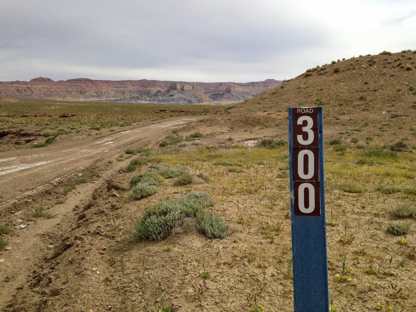
On the road again. View of the trail shortly after entering the Grand Staircase.

Climbing the 1,200 foot high Kelly Grade.

View of the trail looking south half-way up the Kelly Grade.
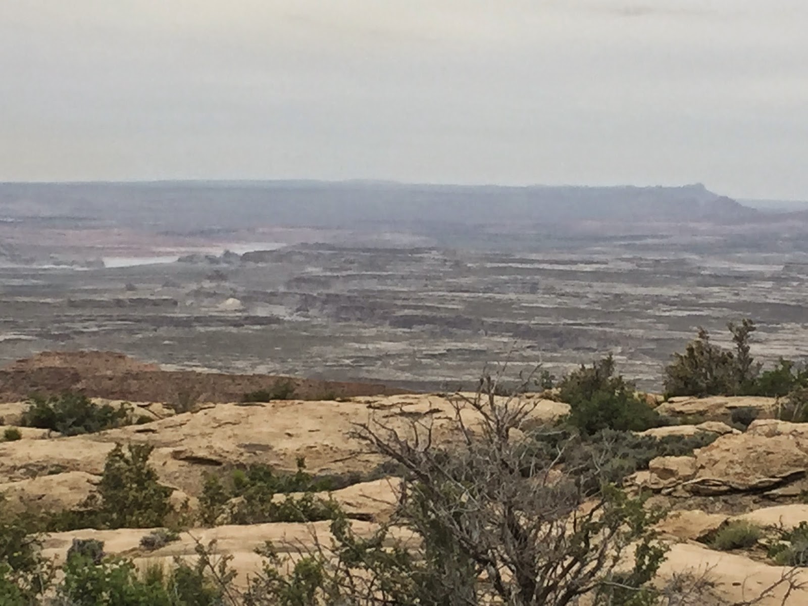
View atop the Kelly Grade.
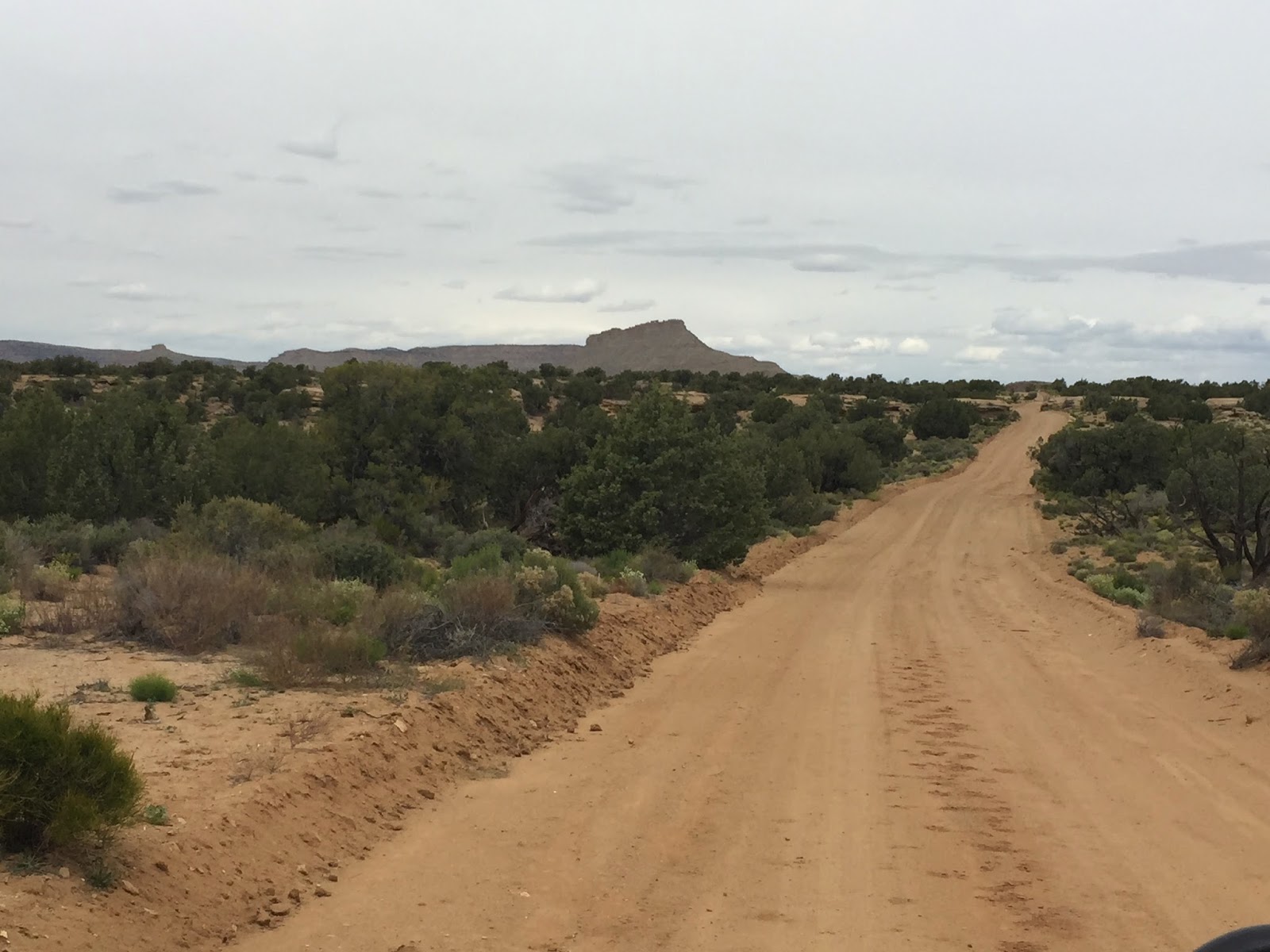
At first it was smooth sailing atop the Kaiparowits Plateau.
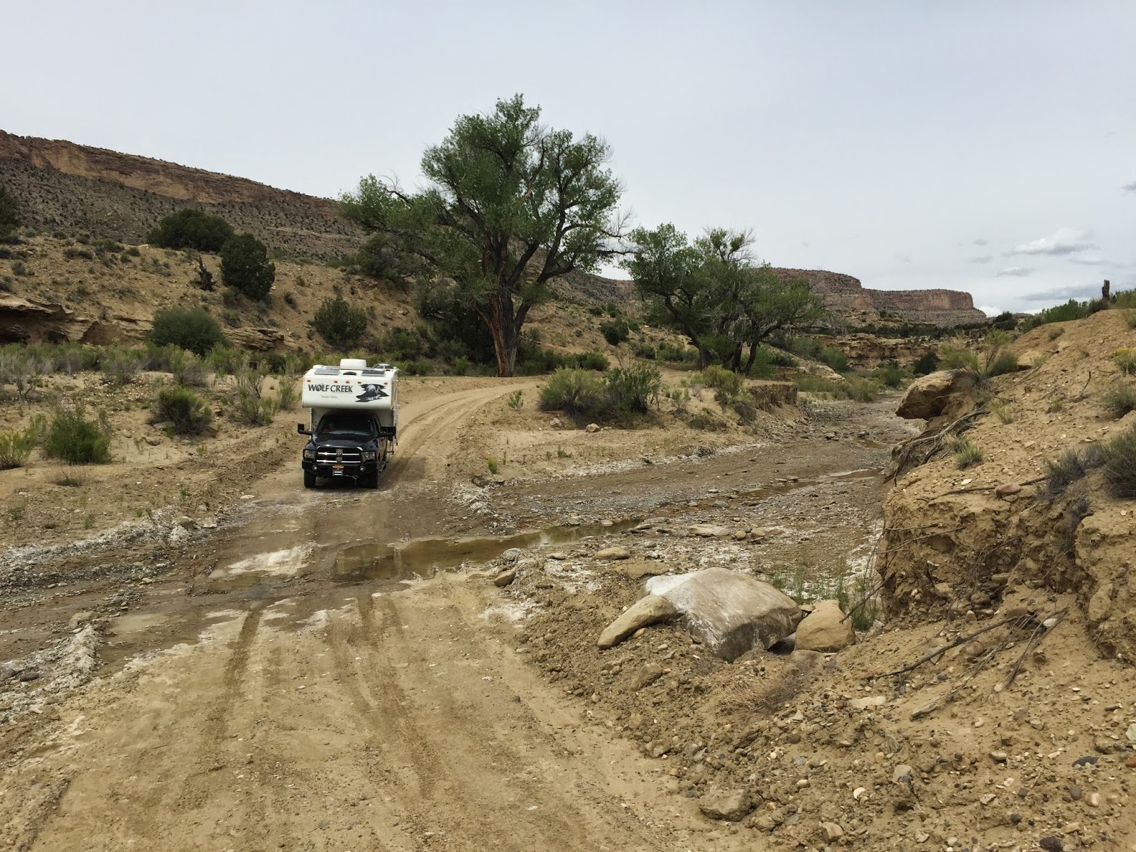
Then 10 miles later things got rough like here at the Drip Canyon Wash.
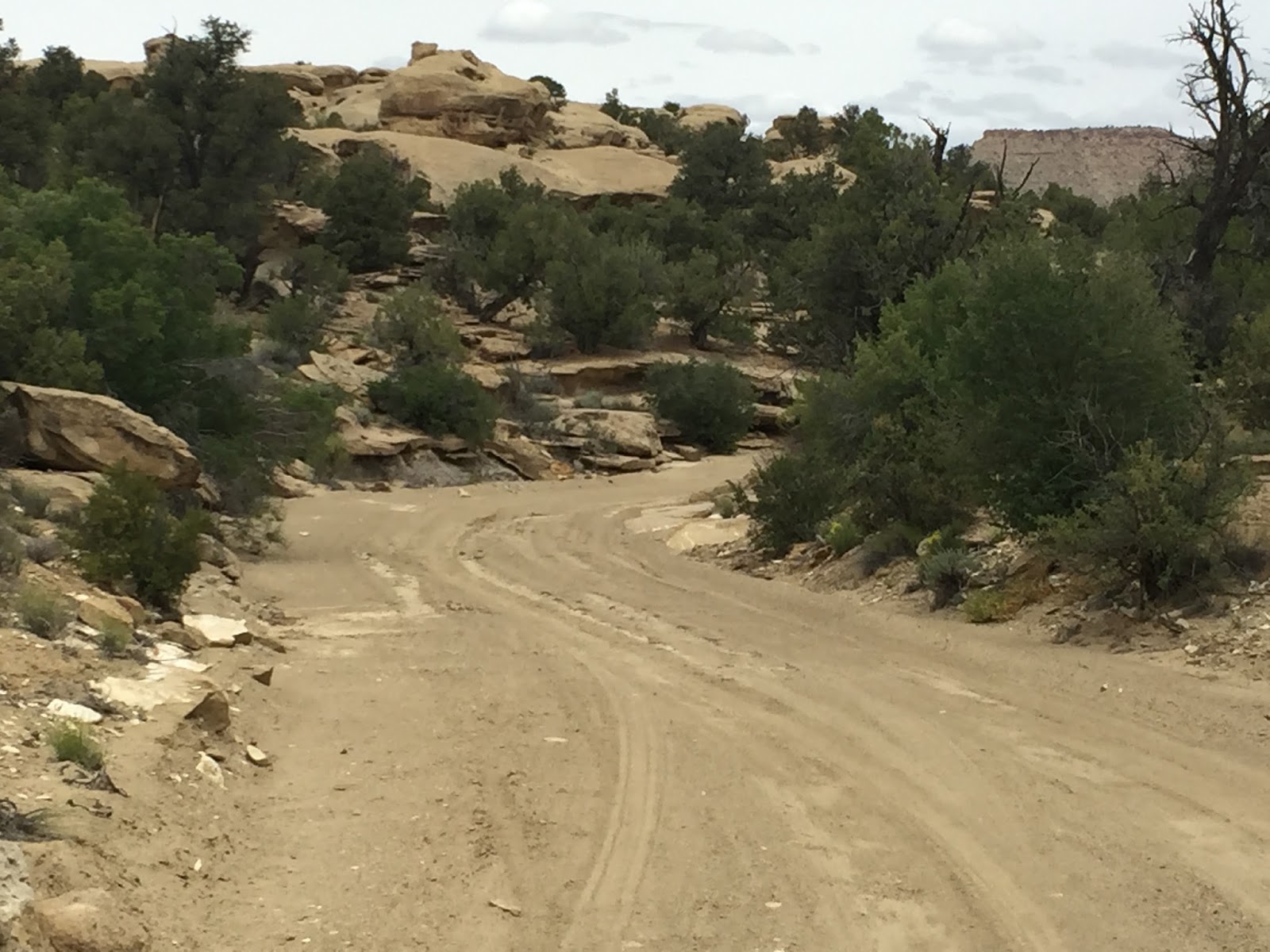
But the scenery along the way was beautiful.
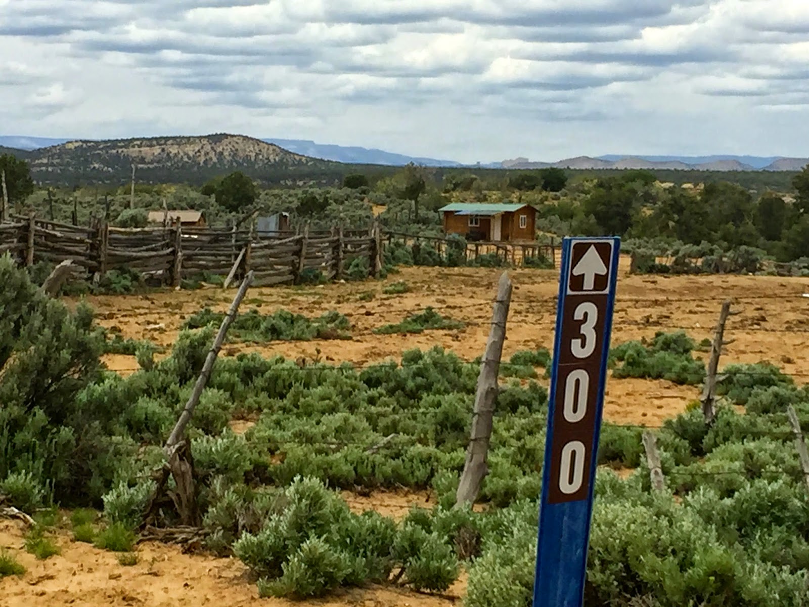
Like at this small cabin and corral at the junction of Left Hand Collet Canyon trail.
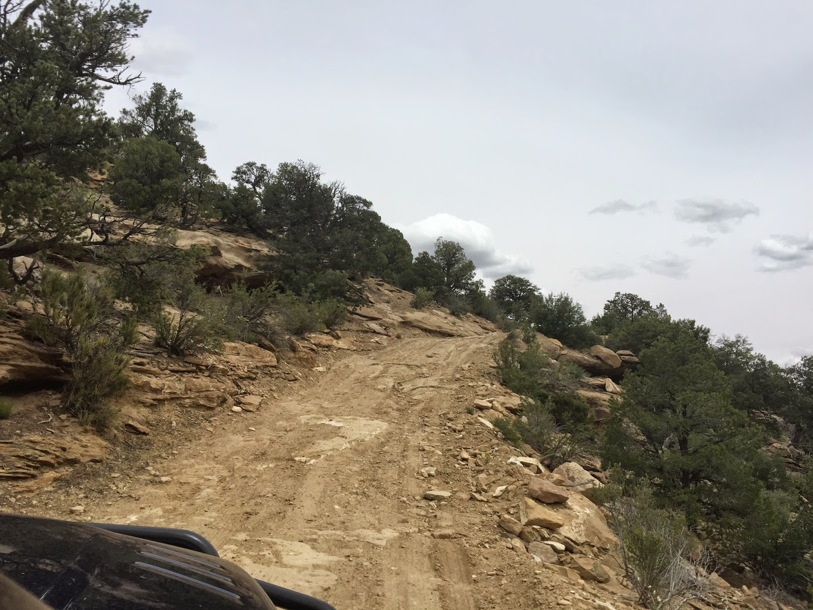
Here is one of the many steep and rocky climbs on the trail.

View of the trail before reaching Death Ridge.

Ha, not this time. The Smoky Mountain Trail was rough enough. Maybe next time.
Boondocking along Alvey Wash near Escalante, UT.
Would I recommend taking the Smoky Mountain Trail hauling a truck camper? Absolutely, but I would take it slower and take in the entire trail over a course of two or three days rather than one day like we were forced to do. The trail is rough in many locations and because of this the pace is slow in a truck camper, but the scenery is worth the time and effort if you're willing to go through it. Put another way, if you're looking for a quick and relaxing scenic drive off of Utah Route-12, skip this road and take the Hell's Backbone or the paved portion of the Burr Trail instead. But if you're looking for adventure in a lightly traveled, less-known road where the boondocking, hiking, and scenery are spectacular, then the Smoky Mountain Trail is highly recommended.
First, we decided to boondock overnight at a sweet location in the Grand Staircase that a good friend, Bryan Appleby (bka0412), told us about last year. Anyhow, after a restful night sleep at this prime location, we got up early to start exploring the Smoky Mountain Trail. The Smoky Mountain Trail actually traverses through both the Glen Canyon Rec Area and in the GSENM. In Glen Canyon, the trail is designated Road-230 and begins in the small town of Big Water, UT. To find the road look for Ethan Allen Road off of the US-89 and turn north, the Smoky Mountain Trail splits off from it. The first five miles of the drive are paved and after passing through a huge wash the road rises and turns into a well-graded dirt surface. This first part of the drive is called the Moon and if you saw it you would know why. Here the rock formations are smooth and dark gray and are largely barren of any color or vegetation. Still, the eerie landscape is beautiful in its own right and isn't something you see everyday. Apparently, several movies were filmed in this area, including “Planet of the Apes.”
About 13 miles up the Rocky Mountain Trail we came to Road-231 which leads to Warm Creek Bay. We knew nothing about this access point to Lake Powell, so we decided to explore it then have lunch. This turned out to be one of the best decisions we made during the entire trip because Road-231 passes through Crosby Canyon, a spectacular, multicolored slot canyon. This happened to be our first visit to Lake Powell and it didn't disappoint. We arrived at Warm Creek Bay on a Wednesday and apparently that was a good thing because we had the entire bay to ourselves. Because of this and because the setting was so beautiful, we decided to boondock and stay for the night. While setting up camp, we noticed that the catfish were jumping, so after resting and having a good meal, I decided to break out the fishing pole and tackle to see if I could catch one. It didn't take long.

Boondocking in the Grand Staircase the day before tackling the Smoky Mountain Road

This sign in Big Water, UT marks the beginning of the Smoky Mountain Trail.

Passing large boulders near Big Water, UT.

Moon landscape to the south of the Smokey Mountain Trail.

Approaching the Warm Creek Bay turnoff.

The Crosby Canyon got very narrow here with a large overhang (note the shadows).
Our first view of Warm Creek Bay.

Our boondocking location on Warm Creek Bay.
Hoping to land the "big one."
Twenty minutes later, I got one.
The wife took this spectacular shot at dusk from our back door.

With overcast skies the next morning we decided to break camp.
After a peaceful and wonderful overnight stay at Warm Creek Bay, we awoke the next morning to thick cloud cover. Rain was in the forecast the following day, so rather than stay another day, we had no choice but to take in the rest of the Smoky Mountain Trail before nightfall. This trail, like all of the other unpaved scenic backways in the Grand Staircase, become impassible when wet due to the dirt and bentonite clay surface. Indeed, even 4x4 vehicles often get stuck in the thick and gooey muck, and with my recent experience at Mormon Lake for the 2015 Overland Expo, I didn't want a repeat experience, so we had to break camp and hit the road before the rains hit.
Designated BLM Road 300 in the GSENM, we found the Smoky Mountain Trail sometimes thrilling, often rough, but always beautiful. About 78-miles-long, it's the toughest, longest, and most remote road in the Grand Staircase. This isn't a drive for the faint of heart. Soon after leaving the Glen Canyon Rec Area, the road climbs the Kelly Grade to the top of the Kaiparowitz Plateau, a 5-mile-long, 1,200 ft grade with numerous switchbacks and steep drop offs. We found the climb up the narrow twisting road hair-raising and nerve racking. In fact, the road is so narrow going up this grade that I don't know what we would have done if we had encountered a vehicle going in the opposite direction. In spite of our frayed nerves, we found the views atop the 6,500 feet high Kelly Grade Overlook well worth it. At this overlook you can gaze upon Page and Lake Powell to the south and Navajo Mountain in the far distance to the east.
After a quick lunch and discussing the Kelly Grade ascent with a passing Jeeper and his wife, we hit the road again. A short distance after departing, we came across a short sandy spur, dubbed BLM-332, which branches off to the east. We didn't take it this time, but we are told that along this spur you can see open seams and gaping holes in the earth that still emit smoke from coal fires that are perhaps hundreds if not thousands of years old. This smoke is what gives the mountain and trail its name. Along this stretch atop the Kaiparowits Plateau, the road is smooth and sandy and the pace is fast. Here you'll zip by a forest of Juniper and Pinion Pines, but after about 10 miles this changes abruptly as the remainder of the route passes over and through several rocky canyons. The progress in these canyons is much, much slower, but the scenery is better. The trail along this part of the drive features numerous peaks and valleys with the high and low points in most cases going over rough and exposed rock. You'll also pass through numerous washes, some very large. Because of this I wouldn't recommend taking a passenger car on this road, a high-clearance, 4x4 vehicle like a Jeep Wrangler or Toyota FJ Cruiser would be much better.
The biggest challenge of the entire drive was tackling the so-called Last Chance Draw. Here the rough road descends sharply when traveling south to north. We took this steep, slick-rock covered grade slow, inching our way forward. Still, it was nerve racking to say the least. After completing it, I turned to my wife, Karen, and said, "I'm glad we didn't have to climb that sucker going the other way." I should add that we did encounter a couple of slow and very steep climbs that were a challenge even for our Cummins turbo diesel. After passing the turnoff to the so-called Death Ridge, we found ourselves driving the last nine miles of the Smoky Mountain Trail at a fast pace along and through the Alvey Wash. We found the surface of the road here smooth and sandy and the Cottonwood trees and sights along this wash beautiful. Five hours and 68-miles after leaving Warm Creek Bay, we reached the town of Escalante, exhausted yet feeling good about exploring this little-known trail in the Grand Staircase.

On the road again. View of the trail shortly after entering the Grand Staircase.

Climbing the 1,200 foot high Kelly Grade.

View of the trail looking south half-way up the Kelly Grade.
View atop the Kelly Grade.

At first it was smooth sailing atop the Kaiparowits Plateau.

Then 10 miles later things got rough like here at the Drip Canyon Wash.
But the scenery along the way was beautiful.
Like at this small cabin and corral at the junction of Left Hand Collet Canyon trail.
Here is one of the many steep and rocky climbs on the trail.

View of the trail before reaching Death Ridge.

Ha, not this time. The Smoky Mountain Trail was rough enough. Maybe next time.

Boondocking along Alvey Wash near Escalante, UT.
Would I recommend taking the Smoky Mountain Trail hauling a truck camper? Absolutely, but I would take it slower and take in the entire trail over a course of two or three days rather than one day like we were forced to do. The trail is rough in many locations and because of this the pace is slow in a truck camper, but the scenery is worth the time and effort if you're willing to go through it. Put another way, if you're looking for a quick and relaxing scenic drive off of Utah Route-12, skip this road and take the Hell's Backbone or the paved portion of the Burr Trail instead. But if you're looking for adventure in a lightly traveled, less-known road where the boondocking, hiking, and scenery are spectacular, then the Smoky Mountain Trail is highly recommended.