....I've just acquired the entire campgrounds file from USFS as a geodatabase, by Forest Service Unit. I've also acquired all the USFS official boundaries for the entire Continental US inventory...
The boundary files need to be shrunk nodally (made coarser) in order to fit into a GPS. I have 113 forest administrative Units, in eight administrative "Regions"...
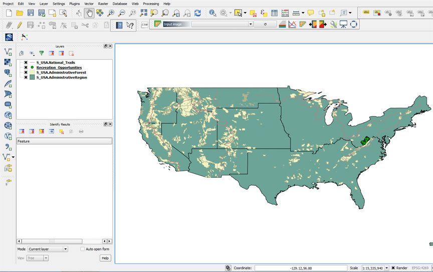
This is the 1st time I have ever attempted to map (for my personal GPS application needs on my laptop) the entire inventory at one go (rather than just the USFS forest of our interest). Attached, is the coverage (overlayed by historic and National trails)...
I will use this coverage in/as my own GIS / GPS super-coverage on my laptop (with Bluetooth GPS antenna). I may extract and create a few GPX exchange files of a few Forests of interest (including a dumbed-down polygon boundary layer of a few Units) over the holidays...I'll see.