cewillis
May 08, 2018Explorer
TR/3 : Threading the Needles (Canyonlands) part way
This was an exploratory, but ambitious trip plan that encountered a few problems (nothing serious as it turned out). But it was still interesting.
As usual, the whole report with more and larger pictures is on my web site at Needles, 2018 .

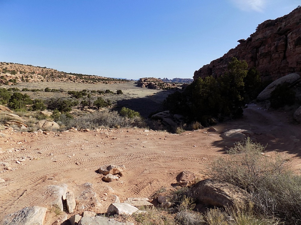
Here was the plan: see if it was possible to drive down the 'infamous' Bobby's Hole road into the south end of the Needles District, and if so, try to drive out Devil's Lane to the Green River / Colorado River confluence overlook.
Then a relatively easy drive through the Maze District out to the Millard campground on the Green River.

In the Manti La Sal NF.

Not the Bear's Ears.

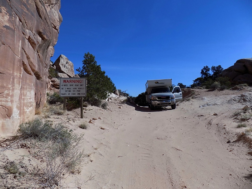
Good advice -- both parts, near the top of Bobby's Hole.
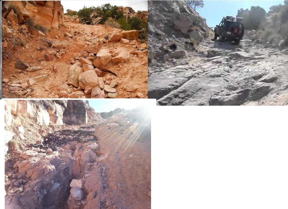
Here's what it looks like sometimes. Only negotiable in the 2nd picture.

1st step down -- of course I walked it first.
Couple more decent size ledges, but not too bad this time.

Can see the bottom.

Made it. Stay tuned to see if I made it back.
But only a few miles farther -- end of the road for me.
90 degree turn over a very large rock, to a steep drop, with major left roll, over some boulders that I can't straddle, to a pretty large ledge. What could go wrong?
Spectacular country - but just out of reach, for me.

View from near the bottom. Yes, that's my hand.
I 'think' could make it down -- but back up looks more unlikely. So I would have been committed to getting through SOB hill and going out over Elephant hill. (look them up).
Made it back up Bobby's Hole. But it wasn't easy. Had to make a ramp of rocks, hit it hard, and keep going to get up the biggest ledge. Might not have made it without lockers. Even light weight jeeps use lockers here. Also, very loose dirt -- easy to dig in.
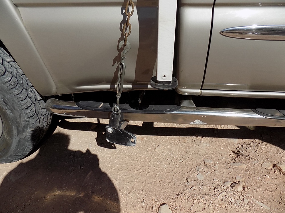
Minor problem - bent one of my Torklift tiedowns. Notice the step bar used as a rock guard.

Straightened it with a submarine torpedo winch - when I got home.

The high Manti La Sal.

One of my few favorite places -- the rim of Dark Canyon.

Poor day for pictures though. Colors are not showing.

Poor day for walking near the rim too, with 40+ mph winds.
The next morning, 2 days after any rough driving. I got apparently transient transmission codes. See trans codes if interested.
And even though I was able to clear the problem, being 50+ miles from cell service, and having seen no other vehicles in 4 days, it was a little spooky. So I decided to come back another time.
As usual, the whole report with more and larger pictures is on my web site at Needles, 2018 .
Here was the plan: see if it was possible to drive down the 'infamous' Bobby's Hole road into the south end of the Needles District, and if so, try to drive out Devil's Lane to the Green River / Colorado River confluence overlook.
Then a relatively easy drive through the Maze District out to the Millard campground on the Green River.
In the Manti La Sal NF.
Not the Bear's Ears.
Good advice -- both parts, near the top of Bobby's Hole.
Here's what it looks like sometimes. Only negotiable in the 2nd picture.
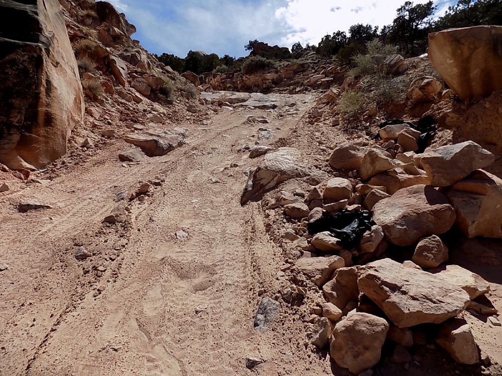
1st step down -- of course I walked it first.
Couple more decent size ledges, but not too bad this time.
Can see the bottom.
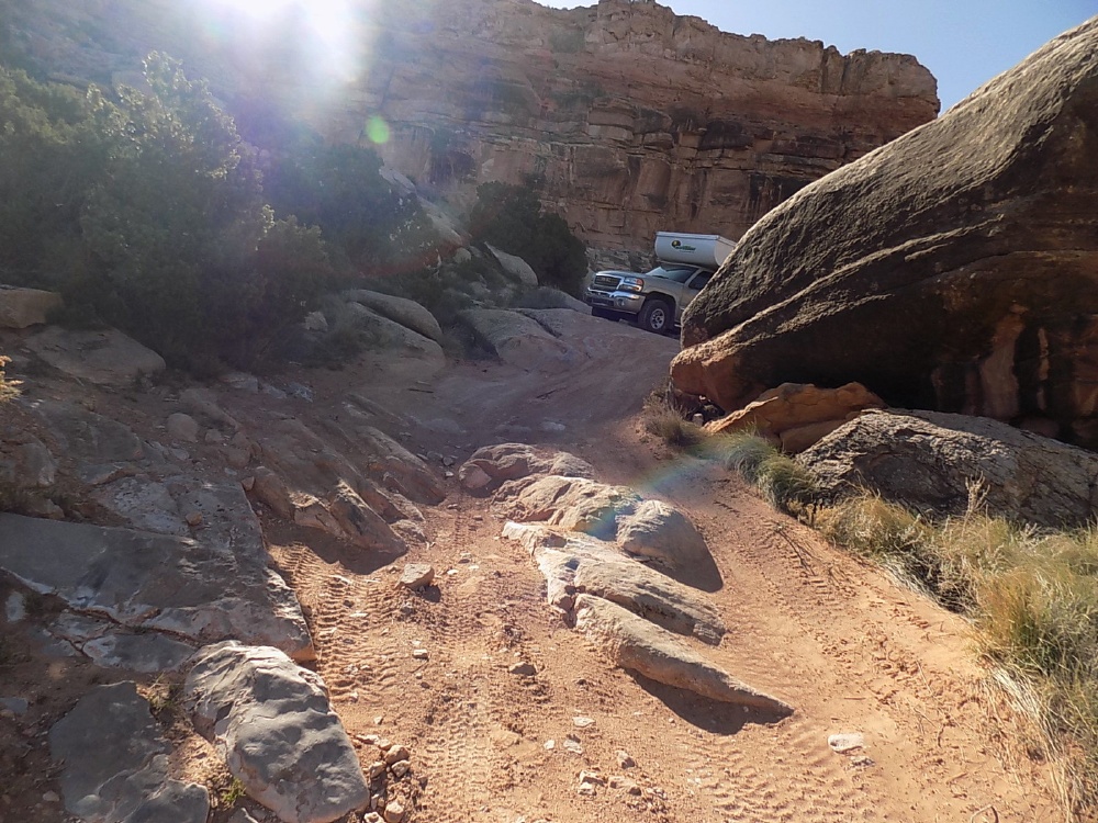
Made it. Stay tuned to see if I made it back.
But only a few miles farther -- end of the road for me.
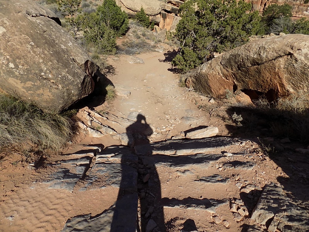
90 degree turn over a very large rock, to a steep drop, with major left roll, over some boulders that I can't straddle, to a pretty large ledge. What could go wrong?
Spectacular country - but just out of reach, for me.
View from near the bottom. Yes, that's my hand.
I 'think' could make it down -- but back up looks more unlikely. So I would have been committed to getting through SOB hill and going out over Elephant hill. (look them up).
Made it back up Bobby's Hole. But it wasn't easy. Had to make a ramp of rocks, hit it hard, and keep going to get up the biggest ledge. Might not have made it without lockers. Even light weight jeeps use lockers here. Also, very loose dirt -- easy to dig in.
Minor problem - bent one of my Torklift tiedowns. Notice the step bar used as a rock guard.
Straightened it with a submarine torpedo winch - when I got home.
The high Manti La Sal.
One of my few favorite places -- the rim of Dark Canyon.
Poor day for pictures though. Colors are not showing.
Poor day for walking near the rim too, with 40+ mph winds.
The next morning, 2 days after any rough driving. I got apparently transient transmission codes. See trans codes if interested.
And even though I was able to clear the problem, being 50+ miles from cell service, and having seen no other vehicles in 4 days, it was a little spooky. So I decided to come back another time.