BillandCarole
Mar 29, 2018Explorer
The Mega Flood Route - The Washington Coast to Missoula Mt
Hi Everyone
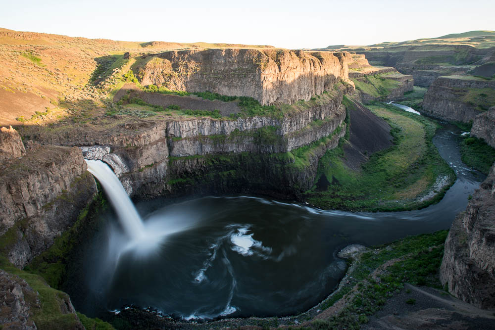
We have been planning to tour the Scablands. They essentially run from the mouth of the Columbia River to Missoula, Montana. The area was scoured out by Ice Age floods that periodically swept the area when the glaciers repeatedly melted and unplugged ice dams in what is now the Columbia River Basin. Has anyone else driven this? What route did you follow? Dry Falls is a definite must see. ( a 3.5-mile-long (5,600 m) scalloped precipice in central Washington) as is Grand Coulee Dam. No single route was used so were not sure exactly sure how to explore this vast region.
Any input is welcome.
Thanks and Regards
Bill and Carole

