bigred1cav wrote:
What I would like to have streets do for me is plan a 300/350 mile day then show the camping areas in that area. Is it capable of that? If so will you teach me how to make it happen?
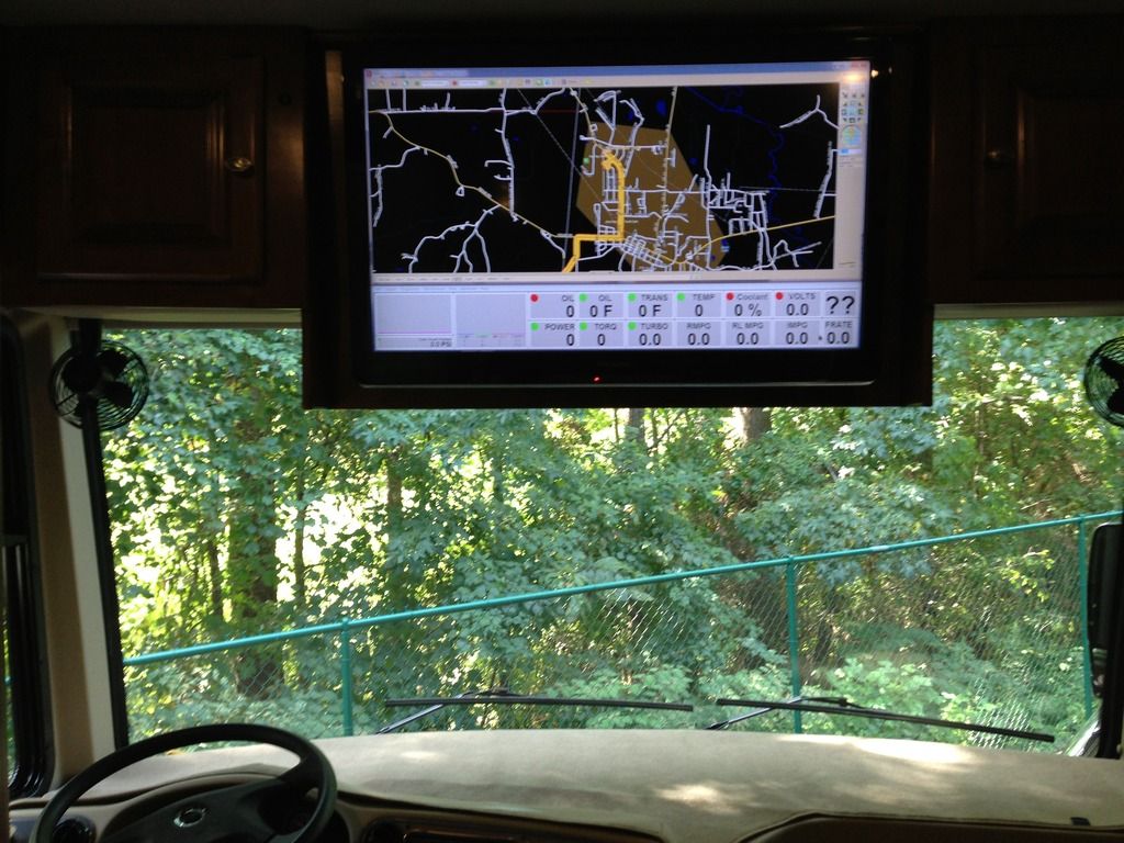
300 miles would be ~6 hours of driving at "average" speed as far as S&T is concerned, so set your start and end time roughly 6 hours apart. When you plan a route, you'll see the route log indicate where it's time to stop for the day.
It can show you what's around your daily stops, use the "Points of Interest" tool, set the range to something like 5-10 miles.
If you find a place to stay, or just the city the place is in and add it to your route as a stop be sure to set the stop time to 1 day - this will tell the router to start the next day at that location.
FYI It has been my experience that many campgrounds don't pay to be listed in whatever directory Microsoft pulls it's POI data from, so it's not a good tool for finding campgrounds.
Interestingly, the campground right up from my house shows on no online map, so they must have elected not to pay for any sort of online marketing. I guess they get enough business from word of mouth?
