- Good Sam Community
- Groups
- Travel Trailer Group
- Forum
- Re: Trip Report: April in the California Coast Ran...
- Subscribe to RSS Feed
- Mark Topic as New
- Mark Topic as Read
- Float this Topic for Current User
- Bookmark
- Subscribe
- Mute
- Printer Friendly Page
Trip Report: April in the California Coast Ranges
- Mark as New
- Bookmark
- Subscribe
- Mute
- Subscribe to RSS Feed
- Permalink
- Report Inappropriate Content
Mar-24-2015 09:19 AM
This trip was undertaken in April, 2013, and never written up. Here it is almost April again, I've been stuck in the house for months with a broken right ankle, and I really want to go somewhere. Maybe you do, too.
Suitable for mid-size TC's and smaller. 2WD OK in good weather. Some roads are dirt, and some of those are probably washboarded. I took 10 days for this trip, but it could easily be stretched to a longer time by adding side trips and hikes.
First night: a visit to the Wind Wolves Preserve. Check their website for current hours and policies. I camped in the free campground, but now the page says tents only. Call or e-mail them for info.
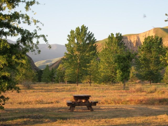
View from my campsite. A bobcat went by the picnic table several times. No, not an invisible one. I was just too slow with the camera.
Onward past blooming orange groves and oil wells, via Taft and Maricopa (you are going to need a good map for this trip), to Carrizo Plain National Monument. No flowers; it was as dry in 2013 as it is this year. Prepare for rough road.
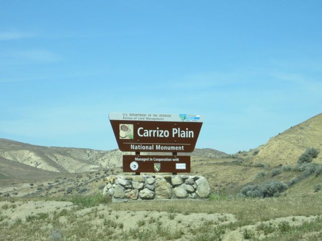
Stop at the abandoned ranch house and take a look at the old farm equipment.
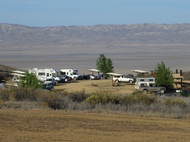
Selby camp at Carrizo Plain. Free. Quieter than it looks like it would be from this photo. There is another camp at KCL, and limited remote camping is allowed. See the Carrizo Plain National Monument page for more info.
Onward, north on Bitterwater Road, right one mile on 46, then northward through the lush green Cholame Valley, to Parkfield, located on the San Andreas fault.
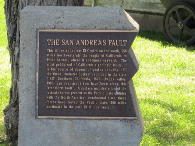
Now entering the Pacific Plate. Going the other way over the bridge, the sign says leaving the PP.
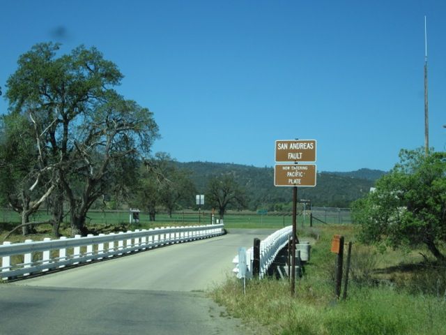
Take Vineyard Canyon Road to San Miguel (visit the mission), then Indian Valley Road, Peach Tree Road, and Highway 25 to Pinnacles National Park. For a more peaceful drive, do this on a weekday.
Condor watching station at the Pinnancles NP campground. I did not see any condors.
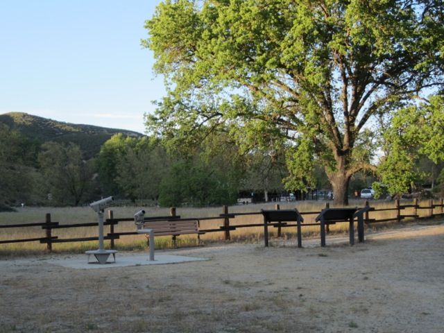
The park webpage has tons of info about the condor program, including profiles of each bird and links to condor cams.
Leaving the national park, follow Highway 25 through green ranching country and vineyards along the San Benito River, take J1 up and over Panoche Pass. I felt like I was driving through Emil Kosa paintings. Proceed through bare dry Panoche Valley where everything was for sale and signs said "Save Panoche Valley" as the ranches awaited replacement by a solar power farm. There is a 40-mile side trip here to the ghost town and abandoned mercury mines at New Idria, but I skipped it.
Near I-5, turn north on Highway 33, passing field crops, noticing the San Joaquin River Restoration Project which re-uses agricultural runoff to grow cattle feed, and visit the Merced National Wildlife Refuge, which is interesting even if the birds are not there.
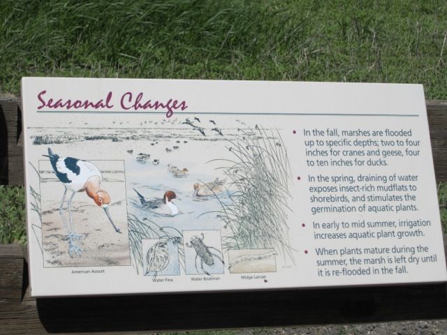
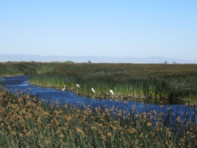
I camped at Medeiros area of the San Luis Reservoir SRA, primitive camping on the shore of the San Luis Forebay. There are several other camps nearby if you don't like this one.
Next, head westward on Highway 152 over Pacheco Pass. I camped at the Santa Cruz KOA, then went on the Elkhorn Slough Safari, a narrated nature tour. You can also tour this area in your own kayak. There are hiking trails and a visitor center at Elkhorn Slough National Estuarine Research Reserve..
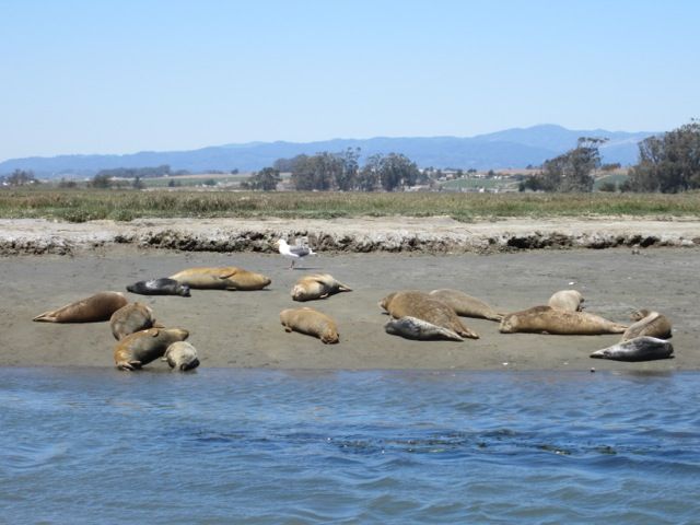
Our boat captain said that some of these baby seals were only hours old.
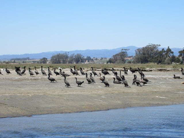
Birds at Elkhorn Slough.
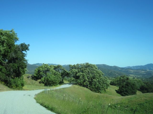
Leaving Elkhorn Slough, head south on Highway 1 and turn east on G16, Carmel Valley Road. After passing through rather congested traffic, proceed eastward on a narrow country road to Arroyo Seco campground.
Along G16.
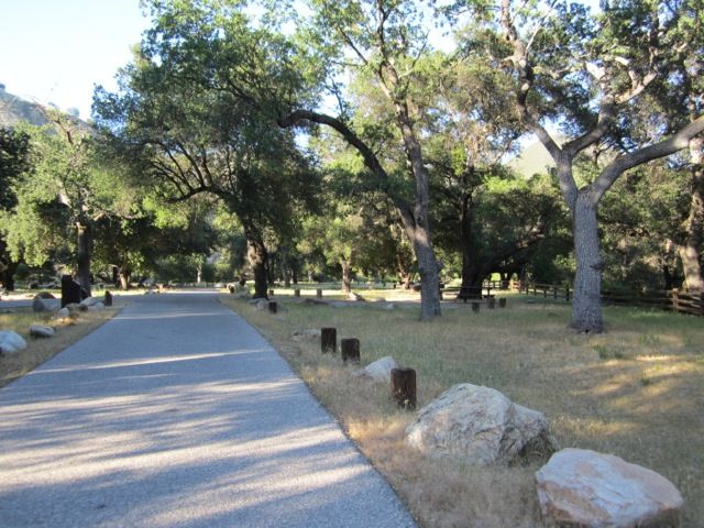
Nice campground at Arroyo Seco. I stayed in the "modern" section.

Continuing on G16.
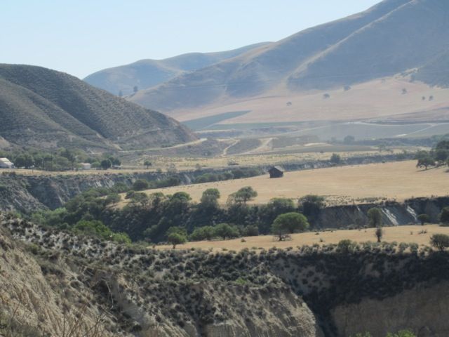
Re-enter civilization for a while, heading north to Greenfield, then along the river to King City. This is a good place to resupply. Then turn southward again, take G14 to Jolon and Fort Hunter Liggett. You will have to show valid photo ID, and if driving (all vehicles, including motorcycles), must have valid driver’s license, vehicle registration and proof of insurance. This is an active military base, and there may be temporary closures due to military activity.
On the base, visit Mission San Antonio de Padua. If you are tired of camping, you can stay at the Hacienda Milpitas; this historic building was designed by Julia Morgan for William Randolph Hearst. I stayed in one of the tower rooms once, but not on this trip.
On Fort H-L land, the sense of being in untouched Old California is wonderful: rolling green hills, oak trees, flowers, and a few military-added surprises.
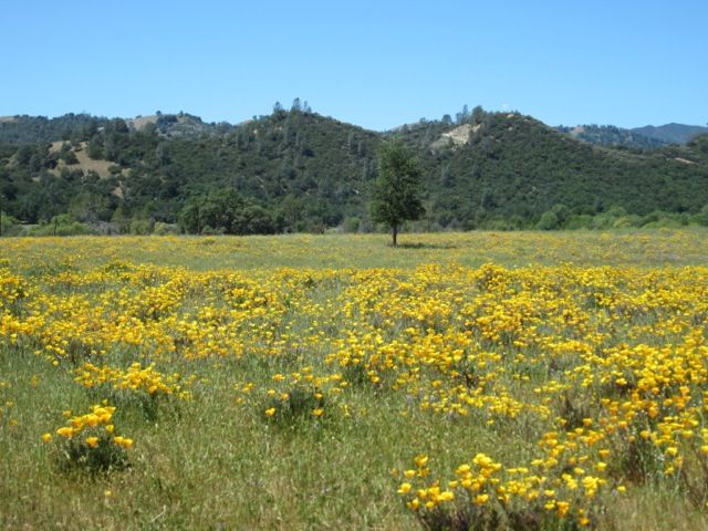
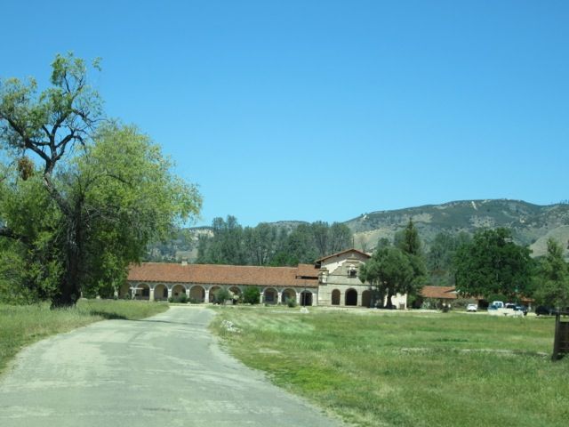
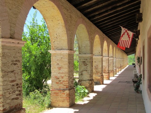
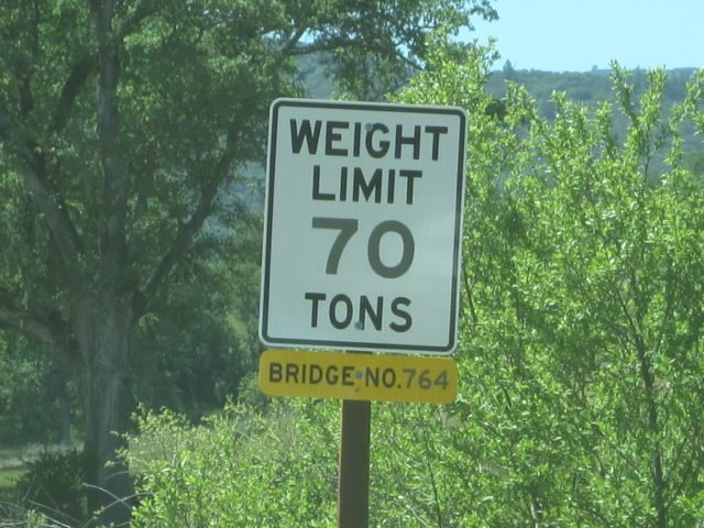
Take Nacimiento-Ferguson Road over the coast range to Highway 1. This is a narrow, winding, and sometimes steep road. There can be traffic, especially on weekends. Take your time and enjoy.
A possible alternate route from the summit for the very adventurous: South Coast Ridge Road. Disclaimers: 4WD may be necessary, at least part of the area has burned since I drove it in 2008, poison oak is everywhere along this route, etc etc. Maybe just go the first few miles (expect opposing traffic) to Prewitt Ridge?
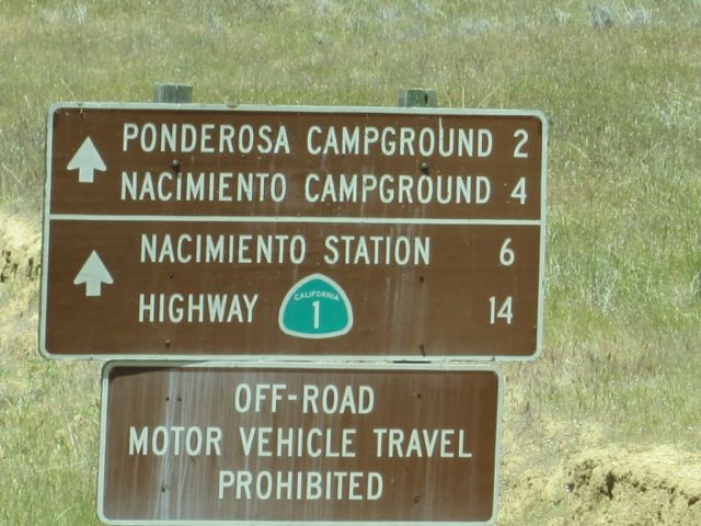
N-F Road comes out at Kirk Creek USFS camp on Highway 1. A bit further south, Plaskett Creek USFS camp is also available.
Some views heading south on Highway 1:
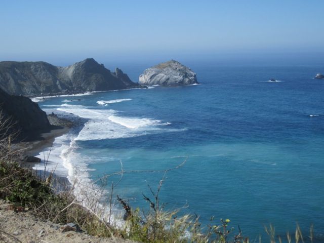
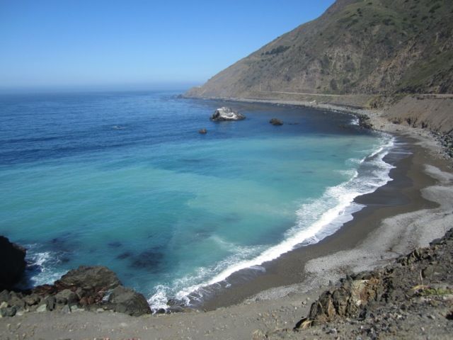
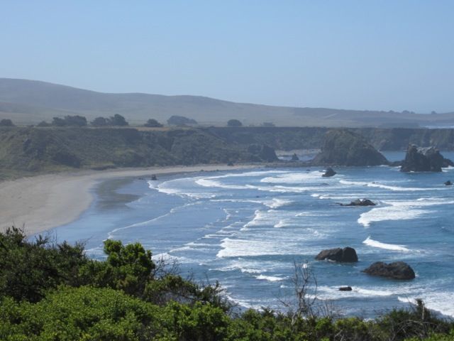
For a possible side trip, tour the Piedras Blancas Light Station.
Elephant seals at Piedras Blancas:
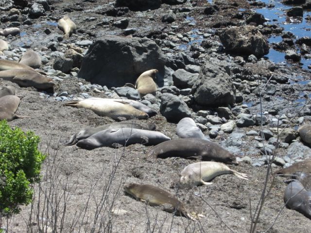
Yes, these are zebras, a legacy from William Randolph Hearst, often visible along Highway 1.
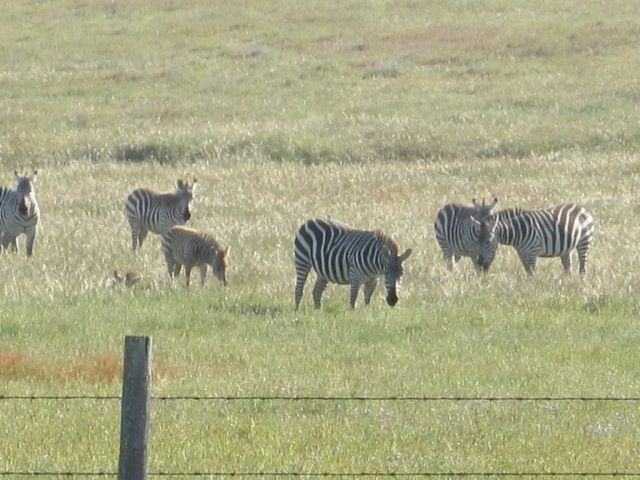
You are now entering the San Luis Obispo Coast area. There are many state, county, and public campgrounds and parks, Audubon sanctuaries, etc. This is one of my favorite areas to visit, and I have covered it in other trip reports, so will give just a taste here:
Morro Bay
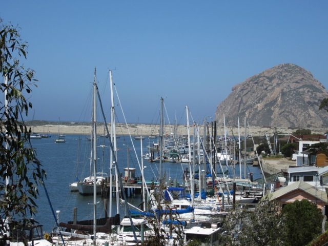
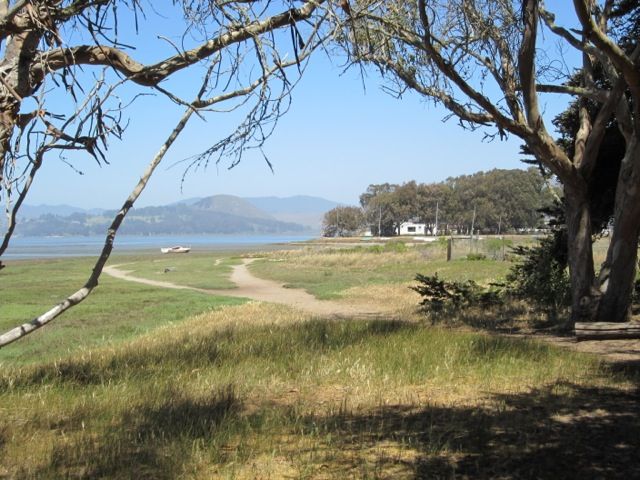
walking trail at the end of Pecho Road in Los Osos
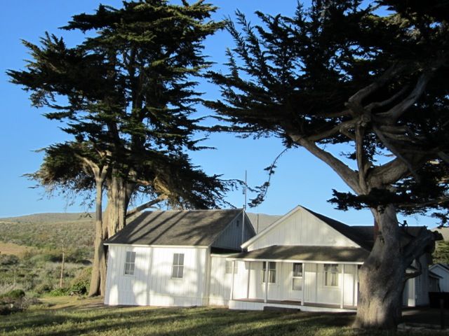
Old ranch house, the HQ at Montana de Oro State Park
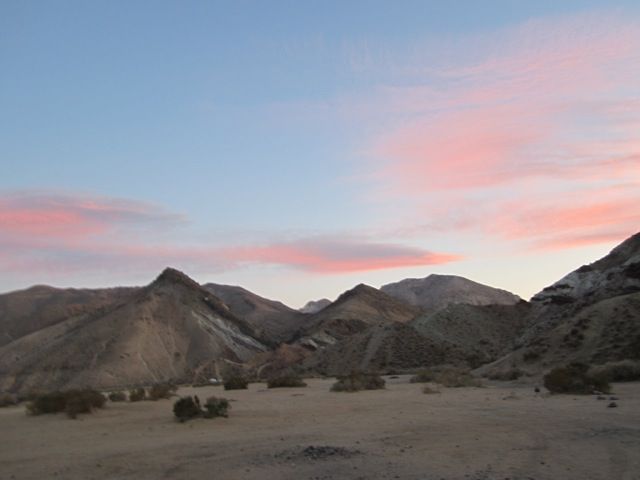
Time to head home and back to the world of employment. My last camp night was at Jawbone Canyon off Highway 14.
- Labels:
-
Truck Campers
- Mark as New
- Bookmark
- Subscribe
- Mute
- Subscribe to RSS Feed
- Permalink
- Report Inappropriate Content
Apr-15-2015 07:51 PM
- Mark as New
- Bookmark
- Subscribe
- Mute
- Subscribe to RSS Feed
- Permalink
- Report Inappropriate Content
Apr-15-2015 06:00 PM


If you are interested, there are more pictures on our blog -- see the link below -- but this was posted in the early days of my blog, when I did not really know what I was doing. The photos were taken with a point and shoot, before we got a digital SLR:
Wildflower bike tour in the Central Coast area, April of 2005
For folks who are not bicyclists or hikers, you are in luck -- the Shell Road area has paved access, and the only problem is finding a place to park because so many people flock to this area to see the flowers in a really good year!
2013 Toyota Tacoma Off-Road (semi-beefy tires and components)
Our trips -- pix and text
About our trailer
"A journey of a thousand miles begins with a single list."
- Mark as New
- Bookmark
- Subscribe
- Mute
- Subscribe to RSS Feed
- Permalink
- Report Inappropriate Content
Apr-15-2015 04:51 PM
3/4 12 VALVE
Freightliner/24' Flatbed 50,000 miles/ Titan 4000 receiver Hitch, no Mods needed.
- Mark as New
- Bookmark
- Subscribe
- Mute
- Subscribe to RSS Feed
- Permalink
- Report Inappropriate Content
Apr-15-2015 09:15 AM
Desertboy wrote:
Very nice way to start my morning, A trip report from my favorite place in Cal. I think Boondocking under the Eucalyptus trees in Montana De Orro park was one of the most enjoyable day/night of my life. I spent a week exploring and camping just the area between Cambria and Avila beach. I sure enjoyed this report, thanks man.
I'll bet that you saw only a small portion of the SLO coast's delights in your week. I usually visit Montana de Oro and Morro Bay and San Simeon state parks every year and am still finding new places to explore. Wilderness trails for hikers, mountain bikers, and equestrians. Walking trails near the small towns. Scenic restaurants along in creek in downtown San Luis Obispo or right on the harbor at Morro Bay. Botanical gardens. Birds. Kayaking on the estuary. Farmer's markets. Wineries (not my thing, but perhaps yours). Beachcombing. Music, live theater, festivals galore. Dry camping or full hookups. A mixture of any or all of the above.
This trip report covered an unusual way to get there. I'm glad that you enjoyed it.
- Mark as New
- Bookmark
- Subscribe
- Mute
- Subscribe to RSS Feed
- Permalink
- Report Inappropriate Content
Apr-15-2015 08:15 AM
3/4 12 VALVE
Freightliner/24' Flatbed 50,000 miles/ Titan 4000 receiver Hitch, no Mods needed.
- Mark as New
- Bookmark
- Subscribe
- Mute
- Subscribe to RSS Feed
- Permalink
- Report Inappropriate Content
Apr-13-2015 05:25 AM
- Mark as New
- Bookmark
- Subscribe
- Mute
- Subscribe to RSS Feed
- Permalink
- Report Inappropriate Content
Apr-12-2015 10:23 PM
- Mark as New
- Bookmark
- Subscribe
- Mute
- Subscribe to RSS Feed
- Permalink
- Report Inappropriate Content
Mar-28-2015 09:11 PM
- Mark as New
- Bookmark
- Subscribe
- Mute
- Subscribe to RSS Feed
- Permalink
- Report Inappropriate Content
Mar-28-2015 08:45 PM
2013 Toyota Tacoma Off-Road (semi-beefy tires and components)
Our trips -- pix and text
About our trailer
"A journey of a thousand miles begins with a single list."
- Mark as New
- Bookmark
- Subscribe
- Mute
- Subscribe to RSS Feed
- Permalink
- Report Inappropriate Content
Mar-28-2015 07:20 AM
Pjay9 - there is a photo of the tour boat on
this page. It is pretty bare bones. The trip is narrated by both the captain and a naturalist and I enjoyed it very much. Yes, putting together my trip reports takes hours: winnowing photos from hundreds down to a small representative collection, uploading them, finding meaningful links. I really enjoy the process because it lets me re-live the trip. However, do not be intimidated. TR's with only a couple of photos are just as popular as these long ones. I'd love to see more TR's from you and other TC forum members.
- Mark as New
- Bookmark
- Subscribe
- Mute
- Subscribe to RSS Feed
- Permalink
- Report Inappropriate Content
Mar-28-2015 04:36 AM
Traveled much of that same area in my rig. However the coast road grabs me so I've only wondered about the mountains between highway 1 and Interstate 5. Thought they might be interesting thanks for showing they are.
Tiger4x4RV wrote:
Nice campground at Arroyo Seco. I stayed in the "modern" section.
This is my former TC note the similarities and differences to your rig.
Looks like my rig should be camped where your rig is and your Tiger should be camped where my rig is.
Less Stuff wrote:
Camped along the Snake River in south eastern Washington. We are just a few feet off the road but wouldn't have made it without four wheel drive.
This picture has made it to page 9 of the truck camper sticky thread.
Still miss my camper, sure don't miss that parts eating Duramax truck.
I could have kept the camper if I had been thinking.
Thanks again for the trip report.
Former user name: "Lots of Stuff"
2015 RAM 1500 V6 8 speed
Regular cab short bed 2 wheel drive.
Leer 180 Topper
- Mark as New
- Bookmark
- Subscribe
- Mute
- Subscribe to RSS Feed
- Permalink
- Report Inappropriate Content
Mar-27-2015 10:00 PM
- Mark as New
- Bookmark
- Subscribe
- Mute
- Subscribe to RSS Feed
- Permalink
- Report Inappropriate Content
Mar-27-2015 07:01 PM
2008 Bigfoot 25C10.4
Torklift/Fastguns/Hellwig/StableLoads
- Mark as New
- Bookmark
- Subscribe
- Mute
- Subscribe to RSS Feed
- Permalink
- Report Inappropriate Content
Mar-27-2015 05:36 PM
https://blogs.chapman.edu/huell-howser-archives/


